1930 Tee Dr Braselton, GA 30517
Braselton AreaEstimated Value: $1,399,000 - $1,523,000
About This Home
This home is located at 1930 Tee Dr, Braselton, GA 30517 and is currently estimated at $1,452,027, approximately $353 per square foot. 1930 Tee Dr is a home located in Gwinnett County with nearby schools including Duncan Creek Elementary School, Frank N. Osborne Middle School, and Mill Creek High School.
Ownership History
We collect this data history from publicly available records. To have your information removed, we recommend requesting removal directly through your county’s website.
Purchase Details
Purchase Details
Home Financials for this Owner
Home Financials are based on the most recent Mortgage that was taken out on this home.Purchase Details
Home Financials for this Owner
Home Financials are based on the most recent Mortgage that was taken out on this home.Home Values in the Area
Average Home Value in this Area
Purchase History
We collect this data history from publicly available records. To have your information removed, we recommend requesting removal directly through your county’s website.
| Date | Buyer | Sale Price | Title Company |
|---|---|---|---|
| $840,000 | -- | ||
| $682,000 | -- | ||
| $245,000 | -- |
Mortgage History
We collect this data history from publicly available records. To have your information removed, we recommend requesting removal directly through your county’s website.
| Date | Status | Borrower | Loan Amount |
|---|---|---|---|
| Open | $213,000 | ||
| Previous Owner | $695,000 | ||
| Previous Owner | $417,000 | ||
| Previous Owner | $196,800 | ||
| Previous Owner | $249,900 | ||
| Previous Owner | $150,000 | ||
| Previous Owner | $587,600 |
Tax History
We collect this data history from publicly available records. To have your information removed, we recommend requesting removal directly through your county’s website.
| Year | Tax Paid | Tax Assessment Tax Assessment Total Assessment is a certain percentage of the fair market value that is determined by local assessors to be the total taxable value of land and additions on the property. | Land | Improvement |
|---|---|---|---|---|
| 2025 | $12,423 | $466,160 | $109,200 | $356,960 |
| 2024 | $12,682 | $466,160 | $109,200 | $356,960 |
| 2023 | $12,682 | $466,160 | $109,200 | $356,960 |
| 2022 | $11,593 | $411,160 | $109,200 | $301,960 |
| 2021 | $9,800 | $313,800 | $83,400 | $230,400 |
| 2020 | $9,140 | $287,400 | $76,560 | $210,840 |
| 2019 | $9,116 | $287,400 | $76,560 | $210,840 |
| 2018 | $8,840 | $272,720 | $69,000 | $203,720 |
| 2016 | $7,207 | $223,600 | $69,000 | $154,600 |
| 2015 | $7,305 | $223,600 | $60,000 | $163,600 |
| 2014 | $6,055 | $185,160 | $60,000 | $125,160 |
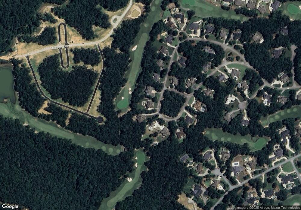
Map
- 1975 Tee Dr
- 2072 Covered Bridge Dr
- 5222 Legends Dr
- 2115 Tee Dr
- 5760 Lula Bridge Ct
- 5736 Cypress Bluff Ln
- 1894 Sam Snead Dr
- 5811 Yoshino Cherry Ln
- 1891 Sam Snead Dr
- 2140 Tee Dr
- 5713 Cypress Bluff Ln
- 1905 Kathy Whitworth Dr
- 5690 Maple Bluff Way
- 1871 Sam Snead Dr
- 5557 Cabernet Ln
- 5547 Cabernet Ln
- 5891 Collier Bridge Ln
- 1845 Kathy Whitworth Dr
- 5711 Sierra Bend Way
- 2262 Crimson King Dr
Ask me questions while you tour the home.