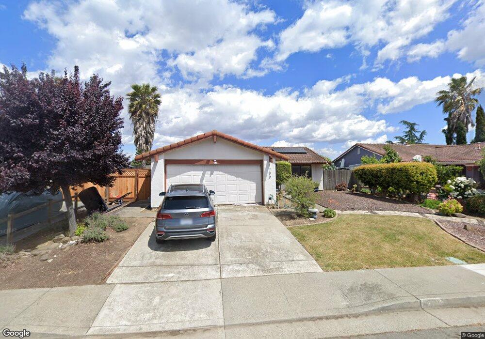
1930 Vine Dr Fairfield, CA 94533
Estimated Value: $474,000 - $553,000
3
Beds
2
Baths
1,470
Sq Ft
$345/Sq Ft
Est. Value
About This Home
This home is located at 1930 Vine Dr, Fairfield, CA 94533 and is currently estimated at $506,742, approximately $344 per square foot. 1930 Vine Dr is a home located in Solano County with nearby schools including Crystal Middle School, Armijo High School, and We R Family Christian School.
Ownership History
Date
Name
Owned For
Owner Type
Purchase Details
Closed on
Feb 26, 2016
Sold by
High Darren and Lewis Robert
Bought by
Neal Tiffany O
Current Estimated Value
Home Financials for this Owner
Home Financials are based on the most recent Mortgage that was taken out on this home.
Original Mortgage
$284,747
Outstanding Balance
$231,532
Interest Rate
4.5%
Mortgage Type
FHA
Estimated Equity
$275,210
Purchase Details
Closed on
Jun 24, 2008
Sold by
Berthold Lorraine K
Bought by
High Darren and Lewis Robert
Home Financials for this Owner
Home Financials are based on the most recent Mortgage that was taken out on this home.
Original Mortgage
$226,446
Interest Rate
5.99%
Mortgage Type
FHA
Purchase Details
Closed on
Nov 6, 1996
Sold by
Klussendorf Berthold Lorraine
Bought by
Berthold Lorraine K
Create a Home Valuation Report for This Property
The Home Valuation Report is an in-depth analysis detailing your home's value as well as a comparison with similar homes in the area
Home Values in the Area
Average Home Value in this Area
Purchase History
| Date | Buyer | Sale Price | Title Company |
|---|---|---|---|
| Neal Tiffany O | $290,000 | Old Republic Title Company | |
| High Darren | $230,000 | Fidelity National Title Co | |
| Berthold Lorraine K | -- | -- |
Source: Public Records
Mortgage History
| Date | Status | Borrower | Loan Amount |
|---|---|---|---|
| Open | Neal Tiffany O | $284,747 | |
| Previous Owner | High Darren | $226,446 |
Source: Public Records
Tax History Compared to Growth
Tax History
| Year | Tax Paid | Tax Assessment Tax Assessment Total Assessment is a certain percentage of the fair market value that is determined by local assessors to be the total taxable value of land and additions on the property. | Land | Improvement |
|---|---|---|---|---|
| 2025 | $3,844 | $343,293 | $94,699 | $248,594 |
| 2024 | $3,844 | $336,563 | $92,843 | $243,720 |
| 2023 | $3,726 | $329,965 | $91,023 | $238,942 |
| 2022 | $3,681 | $323,496 | $89,239 | $234,257 |
| 2021 | $3,644 | $317,154 | $87,490 | $229,664 |
| 2020 | $3,559 | $313,903 | $86,593 | $227,310 |
| 2019 | $3,472 | $307,749 | $84,896 | $222,853 |
| 2018 | $3,584 | $301,716 | $83,232 | $218,484 |
| 2017 | $3,418 | $295,800 | $81,600 | $214,200 |
| 2016 | $2,905 | $255,201 | $88,765 | $166,436 |
| 2015 | $2,711 | $251,368 | $87,432 | $163,936 |
| 2014 | $2,535 | $233,000 | $72,000 | $161,000 |
Source: Public Records
Map
Nearby Homes
- 1625 Park Ln Unit 11
- 109 Creek View Cir
- 113 Creek View Cir
- 1842 Minnesota St
- 435 Hamilton Dr
- 266 De Soto Dr
- 1007 4th St
- 1661 Minnesota St
- 2537 Woolner Ave
- 225 Pennsylvania Ave Unit B5
- 1042 Hayes St
- 1200 Truman St
- 1731 Michigan St
- 527 Great Jones St
- 1201 Missouri St
- 1443 Minnesota St
- 1137 Ohio St
- 1032 Tyler St
- 1047 Ohio St
- 0 Illinois St Unit 325091474