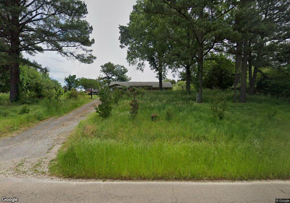
1930 Wirt Rd Oakland, TN 38060
Estimated Value: $219,000 - $287,000
--
Bed
2
Baths
1,398
Sq Ft
$181/Sq Ft
Est. Value
About This Home
This home is located at 1930 Wirt Rd, Oakland, TN 38060 and is currently estimated at $253,600, approximately $181 per square foot. 1930 Wirt Rd is a home located in Fayette County with nearby schools including Oakland Elementary School, West Junior High School, and Fayette Ware Comprehensive High School.
Ownership History
Date
Name
Owned For
Owner Type
Purchase Details
Closed on
Jun 24, 1998
Sold by
Abeln Jeffery W
Bought by
Boswell Herbert B and Boswell Amy L
Current Estimated Value
Purchase Details
Closed on
Apr 21, 1991
Bought by
Abeln Jeffery W
Purchase Details
Closed on
Feb 21, 1989
Bought by
Anderson Dennis H and Anderson Janet
Purchase Details
Closed on
Jan 1, 1987
Bought by
Meek Oscar R and Meek Lora V
Purchase Details
Closed on
Jan 1, 1985
Purchase Details
Closed on
May 10, 1983
Purchase Details
Closed on
Aug 21, 1981
Create a Home Valuation Report for This Property
The Home Valuation Report is an in-depth analysis detailing your home's value as well as a comparison with similar homes in the area
Home Values in the Area
Average Home Value in this Area
Purchase History
| Date | Buyer | Sale Price | Title Company |
|---|---|---|---|
| Boswell Herbert B | $132,500 | -- | |
| Abeln Jeffery W | $80,000 | -- | |
| Anderson Dennis H | -- | -- | |
| Meek Oscar R | $71,900 | -- | |
| -- | $67,400 | -- | |
| -- | -- | -- | |
| -- | -- | -- |
Source: Public Records
Tax History Compared to Growth
Tax History
| Year | Tax Paid | Tax Assessment Tax Assessment Total Assessment is a certain percentage of the fair market value that is determined by local assessors to be the total taxable value of land and additions on the property. | Land | Improvement |
|---|---|---|---|---|
| 2024 | $409 | $31,650 | $10,625 | $21,025 |
| 2023 | $409 | $31,650 | $0 | $0 |
| 2022 | $409 | $31,650 | $10,625 | $21,025 |
| 2021 | $409 | $31,650 | $10,625 | $21,025 |
| 2020 | $434 | $31,650 | $10,625 | $21,025 |
| 2019 | $434 | $28,800 | $10,625 | $18,175 |
| 2018 | $434 | $28,800 | $10,625 | $18,175 |
| 2017 | $434 | $28,800 | $10,625 | $18,175 |
| 2016 | $446 | $27,800 | $10,625 | $17,175 |
| 2015 | $446 | $27,800 | $10,625 | $17,175 |
| 2014 | $446 | $27,800 | $10,625 | $17,175 |
Source: Public Records
Map
Nearby Homes
- 0 Hicks Rd
- Lacombe Plan at Village Park
- Kenner Plan at Village Park
- 25 Kipling Dr
- Bristol Plan at Village Park
- Cameron Plan at Village Park
- 230 Kipling Dr
- 210 Kipling Dr
- 240 Kipling Dr Unit 171
- 245 Kipling Dr
- 5 Northern Leaf Dr
- 15 Charter Cove
- 445 Windemere Loop
- 12.79 AC Wirt Rd
- 210 Highland Park Dr
- 255 Highland Park Cove
- 305 Driftwood Loop
- 230 Driftwood Loop
- 65 Bentgrass Cove
- 90 Laurel Glen Dr