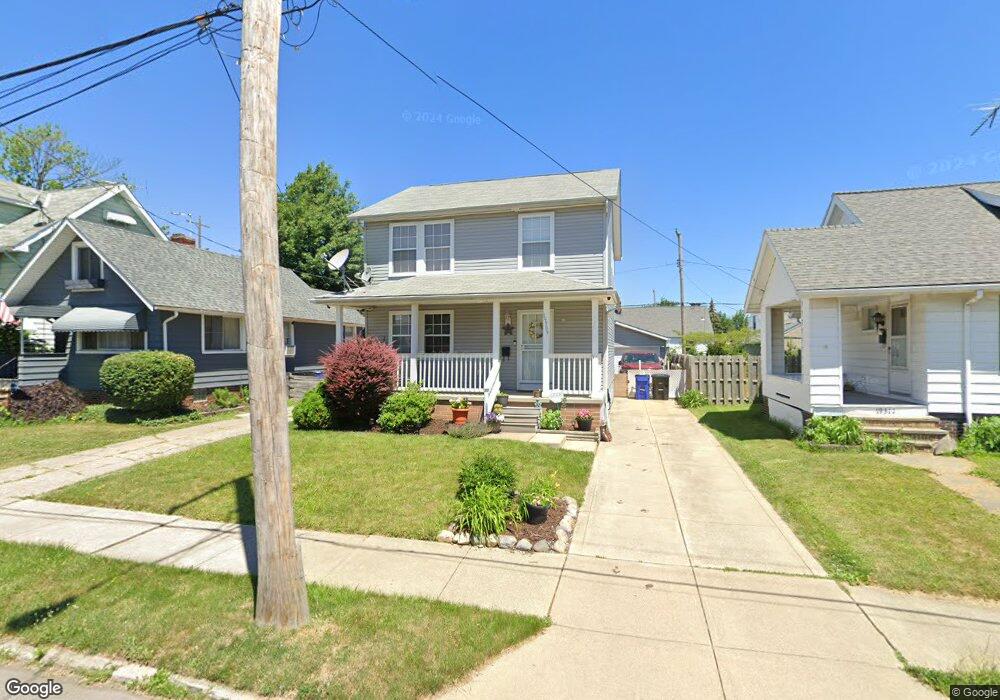
19309 Kewanee Ave Cleveland, OH 44119
North Collinwood NeighborhoodEstimated Value: $124,000 - $204,000
3
Beds
2
Baths
1,385
Sq Ft
$120/Sq Ft
Est. Value
About This Home
This home is located at 19309 Kewanee Ave, Cleveland, OH 44119 and is currently estimated at $166,043, approximately $119 per square foot. 19309 Kewanee Ave is a home with nearby schools including Bolton, Anton Grdina School, and Adlai Stevenson School.
Ownership History
Date
Name
Owned For
Owner Type
Purchase Details
Closed on
Oct 27, 2004
Sold by
Calarco Alex
Bought by
Mixon Darryl D
Current Estimated Value
Home Financials for this Owner
Home Financials are based on the most recent Mortgage that was taken out on this home.
Original Mortgage
$156,761
Outstanding Balance
$78,593
Interest Rate
5.85%
Mortgage Type
Purchase Money Mortgage
Estimated Equity
$87,450
Create a Home Valuation Report for This Property
The Home Valuation Report is an in-depth analysis detailing your home's value as well as a comparison with similar homes in the area
Home Values in the Area
Average Home Value in this Area
Purchase History
| Date | Buyer | Sale Price | Title Company |
|---|---|---|---|
| Mixon Darryl D | $158,000 | Enterprise Title Agency |
Source: Public Records
Mortgage History
| Date | Status | Borrower | Loan Amount |
|---|---|---|---|
| Open | Mixon Darryl D | $156,761 |
Source: Public Records
Tax History Compared to Growth
Tax History
| Year | Tax Paid | Tax Assessment Tax Assessment Total Assessment is a certain percentage of the fair market value that is determined by local assessors to be the total taxable value of land and additions on the property. | Land | Improvement |
|---|---|---|---|---|
| 2024 | $3,786 | $57,750 | $5,425 | $52,325 |
| 2023 | $2,814 | $37,100 | $3,990 | $33,110 |
| 2022 | $2,798 | $37,100 | $3,990 | $33,110 |
| 2021 | $2,770 | $37,100 | $3,990 | $33,110 |
| 2020 | $2,811 | $32,550 | $3,500 | $29,050 |
| 2019 | $2,599 | $93,000 | $10,000 | $83,000 |
| 2018 | $218 | $3,500 | $3,500 | $0 |
| 2017 | $159 | $1,930 | $1,930 | $0 |
| 2016 | $158 | $1,930 | $1,930 | $0 |
| 2015 | $141 | $1,930 | $1,930 | $0 |
| 2014 | $141 | $1,720 | $1,720 | $0 |
Source: Public Records
Map
Nearby Homes
- 19409 Cherokee Ave
- 18707 Shawnee Ave
- 19511 Muskoka Ave
- 18606 Cherokee Ave
- 19716 Mohawk Ave
- 18806 Mohawk Ave
- 19702 Pawnee Ave
- 18715 Mohawk Ave
- 19326 Tyronne Ave
- 19901 Pawnee Ave
- 18404 Neff Rd
- 20430 Miller Ave
- 18111 Marcella Rd
- 560 E 200th St
- 19450 Naumann Ave
- 983 E 179th St
- 21070 N Vine Ave
- 901 E 210th St
- 18225 Landseer Rd
- 17812 E Park Dr
- 19305 Kewanee Ave
- 19311 Kewanee Ave
- 19301 Kewanee Ave
- 19319 Kewanee Ave
- 19310 Chickasaw Ave
- 19306 Chickasaw Ave
- 19314 Chickasaw Ave
- 19312 Kewanee Ave
- 19306 Kewanee Ave
- 19302 Chickasaw Ave
- 19405 Kewanee Ave
- 19316 Kewanee Ave
- 19400 Chickasaw Ave
- 19302 Kewanee Ave
- 19211 Kewanee Ave
- 19402 Kewanee Ave
- 19409 Kewanee Ave
- 19404 Chickasaw Ave
- 19210 Chickasaw Ave
- 19212 Kewanee Ave