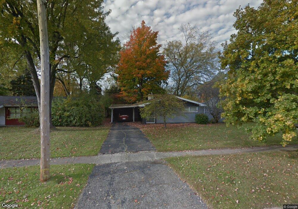
1931 Carmanbrook Pkwy Flint, MI 48507
South Side NeighborhoodEstimated Value: $113,000 - $119,000
3
Beds
2
Baths
1,205
Sq Ft
$96/Sq Ft
Est. Value
About This Home
This home is located at 1931 Carmanbrook Pkwy, Flint, MI 48507 and is currently estimated at $115,359, approximately $95 per square foot. 1931 Carmanbrook Pkwy is a home located in Genesee County with nearby schools including Neithercut Elementary School, Flint Southwestern Classical Academy, and Flint Cultural Center Academy.
Ownership History
Date
Name
Owned For
Owner Type
Purchase Details
Closed on
Dec 30, 2009
Sold by
Churchill Thomas C and Hoornaert Lisa
Bought by
Hughey Hal D and Hughey Mitzi M
Current Estimated Value
Purchase Details
Closed on
Dec 18, 2006
Sold by
Churchill Thomas C and Churchill Olla M
Bought by
Churchill Thomas C and Churchill Olla M
Purchase Details
Closed on
Sep 7, 2006
Sold by
Churchill Thomas C and Churchill Olla M
Bought by
Churchill Thomas C and Churchill Olla M
Create a Home Valuation Report for This Property
The Home Valuation Report is an in-depth analysis detailing your home's value as well as a comparison with similar homes in the area
Home Values in the Area
Average Home Value in this Area
Purchase History
| Date | Buyer | Sale Price | Title Company |
|---|---|---|---|
| Hughey Hal D | $37,000 | Lighthouse Title Inc | |
| Churchill Thomas C | -- | None Available | |
| Churchill Thomas C | -- | None Available |
Source: Public Records
Tax History Compared to Growth
Tax History
| Year | Tax Paid | Tax Assessment Tax Assessment Total Assessment is a certain percentage of the fair market value that is determined by local assessors to be the total taxable value of land and additions on the property. | Land | Improvement |
|---|---|---|---|---|
| 2025 | $1,384 | $46,400 | $0 | $0 |
| 2024 | $1,240 | $42,200 | $0 | $0 |
| 2023 | $1,210 | $37,100 | $0 | $0 |
| 2022 | $0 | $31,200 | $0 | $0 |
| 2021 | $1,267 | $24,800 | $0 | $0 |
| 2020 | $1,129 | $22,300 | $0 | $0 |
| 2019 | $1,091 | $19,800 | $0 | $0 |
| 2018 | $1,121 | $19,300 | $0 | $0 |
| 2017 | $1,086 | $0 | $0 | $0 |
| 2016 | $1,079 | $0 | $0 | $0 |
| 2015 | -- | $0 | $0 | $0 |
| 2014 | -- | $0 | $0 | $0 |
| 2012 | -- | $21,100 | $0 | $0 |
Source: Public Records
Map
Nearby Homes
- 1814 Carmanbrook Pkwy
- 1727 Briarwood Dr
- 1741 Carmanbrook Pkwy
- 4101 Greenbrook Ln
- 1523 Waldman Ave
- 4020 Park Forest Dr
- 4107 Park Forest Dr
- 1818 Rockcreek Ln
- 2107 Stoney Brook Ct
- 1902 Rockcreek Ln
- 1933 Greenbriar Ln
- 1902 Crestbrook Ln
- 1410 Berrywood Ln
- 1225 Vermilya Ave
- 1225 Waldman Ave
- 1209 Lincoln Ave
- 1418 Blueberry Ln
- 1826 Greenbrook Ln
- 1725 Lincoln Dr
- 1228 Leland St
- 1927 Carmanbrook Pkwy
- 1935 Carmanbrook Pkwy
- 1923 Carmanbrook Pkwy
- 1939 Carmanbrook Pkwy
- 1919 Carmanbrook Pkwy
- 1930 Carmanbrook Pkwy
- 1943 Carmanbrook Pkwy
- 1922 Carmanbrook Pkwy
- 1915 Carmanbrook Pkwy
- 3601 Balfour Ct
- 1911 Briarwood Dr
- 1918 Briarwood Dr
- 1914 Briarwood Dr
- 1914 Carmanbrook Pkwy
- 1911 Carmanbrook Pkwy
- 1937 Bayberry Ln
- 1933 Bayberry Ln
- 1910 Briarwood Dr
- 1929 Bayberry Ln
- 1910 Carmanbrook Pkwy