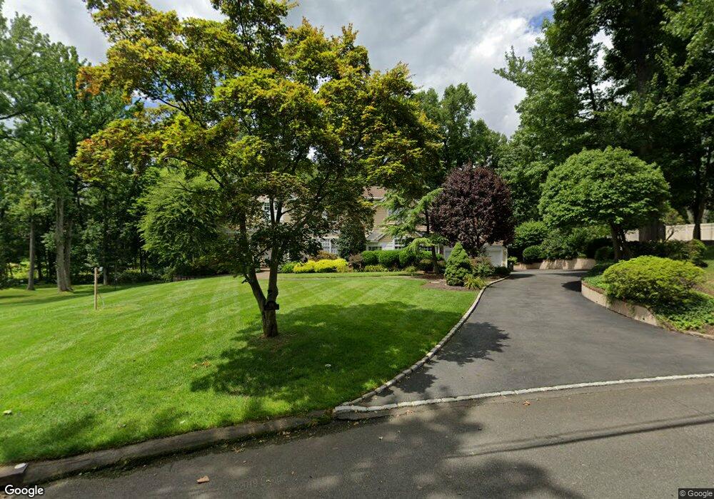
1931 Duncan Dr Scotch Plains, NJ 07076
Estimated Value: $1,164,747 - $1,989,000
--
Bed
--
Bath
3,685
Sq Ft
$430/Sq Ft
Est. Value
About This Home
This home is located at 1931 Duncan Dr, Scotch Plains, NJ 07076 and is currently estimated at $1,585,187, approximately $430 per square foot. 1931 Duncan Dr is a home located in Union County with nearby schools including William J. McGinn Elementary School, Terrill Middle School, and Scotch Plains-Fanwood High School.
Ownership History
Date
Name
Owned For
Owner Type
Purchase Details
Closed on
Apr 3, 2009
Sold by
Milo Jorge and Milo Lisa
Bought by
Perrotta Antonio H and Perrotta Joanne Z
Current Estimated Value
Home Financials for this Owner
Home Financials are based on the most recent Mortgage that was taken out on this home.
Original Mortgage
$417,000
Interest Rate
5.58%
Mortgage Type
Purchase Money Mortgage
Create a Home Valuation Report for This Property
The Home Valuation Report is an in-depth analysis detailing your home's value as well as a comparison with similar homes in the area
Home Values in the Area
Average Home Value in this Area
Purchase History
| Date | Buyer | Sale Price | Title Company |
|---|---|---|---|
| Perrotta Antonio H | $985,000 | None Available |
Source: Public Records
Mortgage History
| Date | Status | Borrower | Loan Amount |
|---|---|---|---|
| Previous Owner | Perrotta Antonio H | $417,000 |
Source: Public Records
Tax History Compared to Growth
Tax History
| Year | Tax Paid | Tax Assessment Tax Assessment Total Assessment is a certain percentage of the fair market value that is determined by local assessors to be the total taxable value of land and additions on the property. | Land | Improvement |
|---|---|---|---|---|
| 2025 | $25,466 | $216,400 | $54,600 | $161,800 |
| 2024 | $24,715 | $216,400 | $54,600 | $161,800 |
| 2023 | $24,715 | $216,400 | $54,600 | $161,800 |
| 2022 | $24,421 | $216,400 | $54,600 | $161,800 |
| 2021 | $24,380 | $216,400 | $54,600 | $161,800 |
| 2020 | $24,263 | $216,400 | $54,600 | $161,800 |
| 2019 | $24,083 | $216,400 | $54,600 | $161,800 |
| 2018 | $23,678 | $216,400 | $54,600 | $161,800 |
| 2017 | $23,153 | $216,400 | $54,600 | $161,800 |
| 2016 | $22,707 | $216,400 | $54,600 | $161,800 |
| 2015 | $22,335 | $216,400 | $54,600 | $161,800 |
| 2014 | $21,599 | $216,400 | $54,600 | $161,800 |
Source: Public Records
Map
Nearby Homes
- 2 Brookside Ct
- 2 Dutch Ln
- 57 Rambling Dr
- 1933 W Broad St
- 1466 Lamberts Mill Rd
- 1933 Mary Ellen Ln
- 2154 W Broad St
- 119 Lamberts Mill Rd
- 314 Highgate Ave
- 2 Unami Ln
- 2116 Newark Ave
- 1380 Terrill Rd
- 1148 Tanglewood Ln
- 1840 Raritan Rd
- 187 King St
- 1701 Raritan Rd
- 1621 Terrill Rd
- 1840 Lake Ave
- 5 Robin Rd
- 525 Edgar Rd
- 1939 Duncan Dr
- 1923 Duncan Dr
- 1942 Duncan Dr
- 1956 Parkwood Dr
- 2 Norwegian Woods
- 2 Norwegianwoods
- 1944 Parkwood Dr
- 1915 Duncan Dr
- 1947 Duncan Dr
- 1968 Parkwood Dr
- 1 Norwegian Woods
- 1950 Duncan Dr
- 1978 Parkwood Dr
- 1926 Parkwood Dr
- 1941 Inverness Dr
- 1907 Duncan Dr
- 1955 Parkwood Dr
- 1943 Parkwood Dr
- 1957 Duncan Dr
- 1967 Parkwood Dr