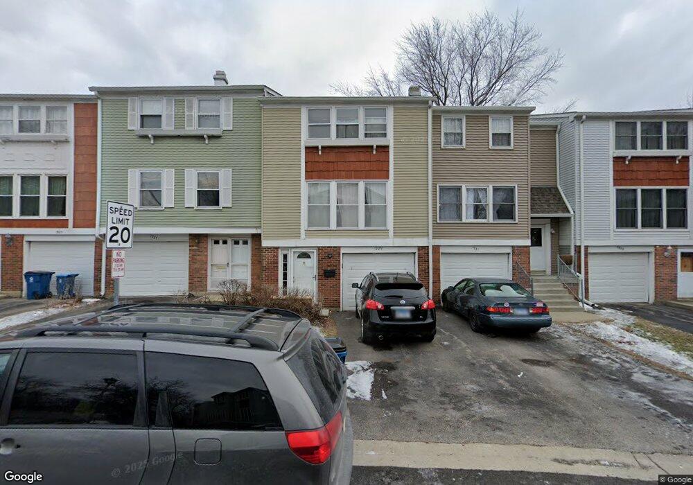
1931 Hastings Ct Unit 3 Schaumburg, IL 60194
West Schaumburg NeighborhoodEstimated Value: $276,030 - $289,000
3
Beds
1
Bath
1,300
Sq Ft
$218/Sq Ft
Est. Value
About This Home
This home is located at 1931 Hastings Ct Unit 3, Schaumburg, IL 60194 and is currently estimated at $283,008, approximately $217 per square foot. 1931 Hastings Ct Unit 3 is a home located in Cook County with nearby schools including Neil Armstrong Elementary School, Dwight D Eisenhower Junior High School, and Hoffman Estates High School.
Ownership History
Date
Name
Owned For
Owner Type
Purchase Details
Closed on
Nov 27, 2000
Sold by
Puccio Linda M
Bought by
Matias George G and Matias Victoria
Current Estimated Value
Home Financials for this Owner
Home Financials are based on the most recent Mortgage that was taken out on this home.
Original Mortgage
$129,000
Outstanding Balance
$48,085
Interest Rate
7.86%
Estimated Equity
$234,923
Create a Home Valuation Report for This Property
The Home Valuation Report is an in-depth analysis detailing your home's value as well as a comparison with similar homes in the area
Home Values in the Area
Average Home Value in this Area
Purchase History
| Date | Buyer | Sale Price | Title Company |
|---|---|---|---|
| Matias George G | $136,000 | -- |
Source: Public Records
Mortgage History
| Date | Status | Borrower | Loan Amount |
|---|---|---|---|
| Open | Matias George G | $129,000 |
Source: Public Records
Tax History Compared to Growth
Tax History
| Year | Tax Paid | Tax Assessment Tax Assessment Total Assessment is a certain percentage of the fair market value that is determined by local assessors to be the total taxable value of land and additions on the property. | Land | Improvement |
|---|---|---|---|---|
| 2024 | $4,379 | $19,000 | $3,000 | $16,000 |
| 2023 | $4,210 | $19,000 | $3,000 | $16,000 |
| 2022 | $4,210 | $19,000 | $3,000 | $16,000 |
| 2021 | $3,675 | $15,485 | $2,835 | $12,650 |
| 2020 | $3,685 | $15,485 | $2,835 | $12,650 |
| 2019 | $3,686 | $17,206 | $2,835 | $14,371 |
| 2018 | $3,791 | $16,082 | $2,475 | $13,607 |
| 2017 | $3,748 | $16,082 | $2,475 | $13,607 |
| 2016 | $3,745 | $16,082 | $2,475 | $13,607 |
| 2015 | $3,176 | $13,266 | $2,160 | $11,106 |
| 2014 | $3,156 | $13,266 | $2,160 | $11,106 |
| 2013 | $3,058 | $13,266 | $2,160 | $11,106 |
Source: Public Records
Map
Nearby Homes
- 1912 Finchley Ct Unit 3
- 1020 Denham Place Unit 1
- 808 Bishop Ct Unit 2
- 1103 Southbridge Ln
- 1121 Southbridge Ln
- 775 Harmon Blvd
- 1901 Kingsley Dr
- 1698 Pebble Beach Dr
- 700 N Hundley St
- 1475 Crowfoot Cir S
- 1375 Rebecca Dr Unit 318
- 604 N Brookdale Dr
- 2216 Andover Ct
- 1475 Rebecca Dr Unit 217
- 2312 Hyde Ct
- 454 Willington Dr
- 2201 Brittany Ct Unit 20
- 1415 N Oakmont Rd
- 508 N Walnut Ln
- 640 Downey St
- 1933 Hastings Ct Unit 3
- 1921 Hastings Ct Unit 3
- 1927 Hastings Ct
- 1935 Hastings Ct Unit III
- 1925 Hastings Ct Unit 3
- 1925 Hastings Ct Unit 1925
- 1925 Hastings Ct Unit 401
- 1923 Hastings Ct Unit 3
- 1908 Finchley Ct
- 1918 Finchley Ct
- 1914 Finchley Ct Unit III
- 1920 Finchley Ct
- 1916 Finchley Ct Unit 3
- 1922 Finchley Ct Unit 3
- 1912 Finchley Ct Unit HSE
- 1928 Hastings Ct
- 1910 Finchley Ct Unit 3
- 1926 Hastings Ct Unit 3
- 1924 Hastings Ct Unit 3
- 1922 Hastings Ct Unit 3