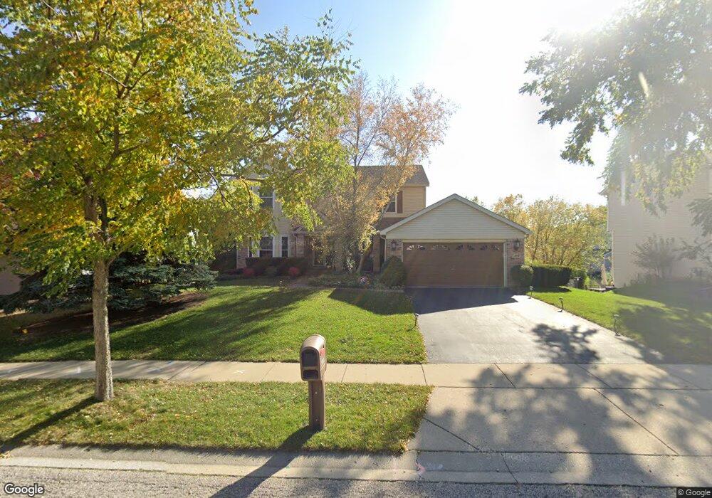
1931 Jester Ln Algonquin, IL 60102
High Hill Farms NeighborhoodEstimated Value: $434,162 - $499,000
Studio
1
Bath
2,598
Sq Ft
$184/Sq Ft
Est. Value
About This Home
This home is located at 1931 Jester Ln, Algonquin, IL 60102 and is currently estimated at $479,041, approximately $184 per square foot. 1931 Jester Ln is a home located in McHenry County with nearby schools including Westfield Community School, Lincoln Prairie Elementary School, and Harry D Jacobs High School.
Ownership History
Date
Name
Owned For
Owner Type
Purchase Details
Closed on
Nov 26, 1997
Sold by
United Homes Inc
Bought by
Oneill Kevin J and Oneill Vicki S
Current Estimated Value
Home Financials for this Owner
Home Financials are based on the most recent Mortgage that was taken out on this home.
Original Mortgage
$144,000
Outstanding Balance
$23,155
Interest Rate
7.46%
Estimated Equity
$455,886
Create a Home Valuation Report for This Property
The Home Valuation Report is an in-depth analysis detailing your home's value as well as a comparison with similar homes in the area
Home Values in the Area
Average Home Value in this Area
Purchase History
| Date | Buyer | Sale Price | Title Company |
|---|---|---|---|
| Oneill Kevin J | $223,500 | Chicago Title Insurance Co |
Source: Public Records
Mortgage History
| Date | Status | Borrower | Loan Amount |
|---|---|---|---|
| Open | Oneill Kevin J | $144,000 |
Source: Public Records
Tax History
| Year | Tax Paid | Tax Assessment Tax Assessment Total Assessment is a certain percentage of the fair market value that is determined by local assessors to be the total taxable value of land and additions on the property. | Land | Improvement |
|---|---|---|---|---|
| 2024 | $9,888 | $142,403 | $23,288 | $119,115 |
| 2023 | $9,322 | $127,361 | $20,828 | $106,533 |
| 2022 | $9,471 | $116,436 | $21,044 | $95,392 |
| 2021 | $9,093 | $108,474 | $19,605 | $88,869 |
| 2020 | $9,685 | $113,860 | $18,911 | $94,949 |
| 2019 | $9,456 | $108,978 | $18,100 | $90,878 |
| 2018 | $9,024 | $100,673 | $16,721 | $83,952 |
| 2017 | $8,847 | $94,840 | $15,752 | $79,088 |
| 2016 | $8,723 | $88,951 | $14,774 | $74,177 |
| 2013 | -- | $68,788 | $13,783 | $55,005 |
Source: Public Records
Map
Nearby Homes
- 1920 Jester Ln
- 681 Majestic Dr
- 760 Regal Ln
- 700 Fairfield Ln
- 1820 Crofton Dr
- 145 S Oakleaf Rd
- 2380 Dawson Ln Unit 165
- 7 Falcon Ridge Ct
- 135 Arquilla Dr
- 1157 Sawmill Ln
- 1431 Essex St
- 14 Wander Way
- 1002 Interloch Ct Unit 152
- 113 Pheasant Trail
- 101 Oakleaf Rd
- 1354 Essex St Unit 2
- 13 Brian Ct
- 2051 Carlisle St
- LOT 3 Blackhawk Dr
- 909 Roger St
Your Personal Tour Guide
Ask me questions while you tour the home.