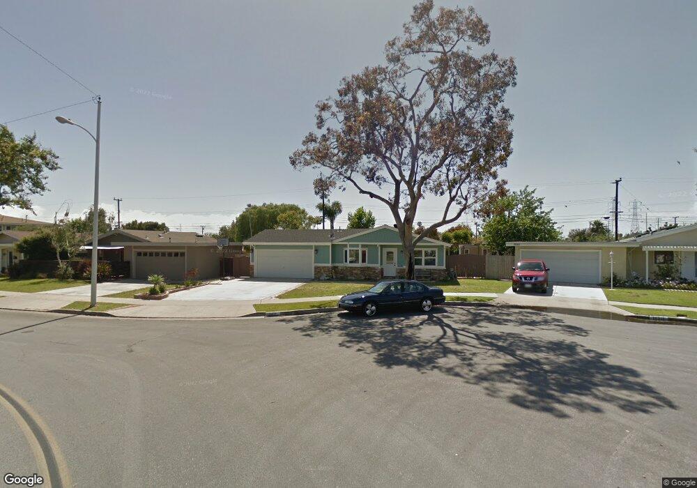
19311 Joice Ln Huntington Beach, CA 92646
Estimated Value: $1,152,677 - $1,383,000
3
Beds
2
Baths
1,324
Sq Ft
$949/Sq Ft
Est. Value
About This Home
This home is located at 19311 Joice Ln, Huntington Beach, CA 92646 and is currently estimated at $1,255,919, approximately $948 per square foot. 19311 Joice Ln is a home located in Orange County with nearby schools including Isojiro Oka Elementary, Talbert Middle School, and Huntington Beach High School.
Ownership History
Date
Name
Owned For
Owner Type
Purchase Details
Closed on
Apr 7, 2020
Sold by
Mirtle Scott and Mirtle Hazel
Bought by
Mirtle Scott and Mirtle Hazel
Current Estimated Value
Purchase Details
Closed on
Apr 16, 1999
Sold by
James Knowles
Bought by
Mirtle Scott and Mirtle Hazel
Home Financials for this Owner
Home Financials are based on the most recent Mortgage that was taken out on this home.
Original Mortgage
$186,800
Outstanding Balance
$46,908
Interest Rate
6.94%
Estimated Equity
$1,209,011
Purchase Details
Closed on
Mar 9, 1998
Sold by
Lamb Earl A and Lamb James R
Bought by
Knowles James R
Home Financials for this Owner
Home Financials are based on the most recent Mortgage that was taken out on this home.
Original Mortgage
$160,000
Interest Rate
7%
Create a Home Valuation Report for This Property
The Home Valuation Report is an in-depth analysis detailing your home's value as well as a comparison with similar homes in the area
Home Values in the Area
Average Home Value in this Area
Purchase History
| Date | Buyer | Sale Price | Title Company |
|---|---|---|---|
| Mirtle Scott | -- | None Available | |
| Mirtle Scott | $233,500 | Old Republic Title Company | |
| Knowles James R | -- | First American Title Ins Co |
Source: Public Records
Mortgage History
| Date | Status | Borrower | Loan Amount |
|---|---|---|---|
| Open | Mirtle Scott | $186,800 | |
| Previous Owner | Knowles James R | $160,000 |
Source: Public Records
Tax History Compared to Growth
Tax History
| Year | Tax Paid | Tax Assessment Tax Assessment Total Assessment is a certain percentage of the fair market value that is determined by local assessors to be the total taxable value of land and additions on the property. | Land | Improvement |
|---|---|---|---|---|
| 2025 | $4,475 | $381,117 | $296,255 | $84,862 |
| 2024 | $4,475 | $373,645 | $290,446 | $83,199 |
| 2023 | $4,369 | $366,319 | $284,751 | $81,568 |
| 2022 | $4,303 | $359,137 | $279,168 | $79,969 |
| 2021 | $4,221 | $352,096 | $273,695 | $78,401 |
| 2020 | $4,196 | $348,486 | $270,888 | $77,598 |
| 2019 | $4,113 | $341,653 | $265,576 | $76,077 |
| 2018 | $4,036 | $334,954 | $260,368 | $74,586 |
| 2017 | $3,972 | $328,387 | $255,263 | $73,124 |
| 2016 | $3,807 | $321,949 | $250,258 | $71,691 |
| 2015 | $3,749 | $317,114 | $246,499 | $70,615 |
| 2014 | $3,676 | $310,903 | $241,671 | $69,232 |
Source: Public Records
Map
Nearby Homes
- 9331 Grand Dr
- 9462 Litchfield Dr
- 19202 Hickory Ln
- 9172 Veronica Dr
- 9121 Madeline Dr
- 19251 Brookhurst St Unit 137
- 19251 Brookhurst St Unit 13
- 19251 Brookhurst St Unit 48
- 19251 Brookhurst St Unit 11
- 19251 Brookhurst St Unit 38
- 19251 Brookhurst St Unit 69
- 19251 Brookhurst St Unit 22
- 18820 Cordata St
- 19361 Brookhurst St Unit 87
- 19361 Brookhurst St Unit 50
- 19361 Brookhurst St Unit 184
- 19361 Brookhurst St Unit 22
- 19361 Brookhurst St Unit 159
- 19361 Brookhurst St Unit 21
- 19361 Brookhurst St Unit 33