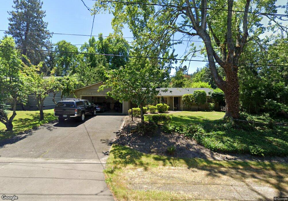
1932 Mapleleaf Rd Lake Oswego, OR 97034
Palisades NeighborhoodEstimated Value: $742,971 - $879,000
3
Beds
2
Baths
1,659
Sq Ft
$487/Sq Ft
Est. Value
About This Home
This home is located at 1932 Mapleleaf Rd, Lake Oswego, OR 97034 and is currently estimated at $807,243, approximately $486 per square foot. 1932 Mapleleaf Rd is a home located in Clackamas County with nearby schools including Hallinan Elementary School, Lakeridge Middle School, and Lakeridge High School.
Ownership History
Date
Name
Owned For
Owner Type
Purchase Details
Closed on
Jul 23, 2007
Sold by
Baird Clint and Baird Jane
Bought by
Baird Clinton G and Baird Jane E
Current Estimated Value
Home Financials for this Owner
Home Financials are based on the most recent Mortgage that was taken out on this home.
Original Mortgage
$197,000
Outstanding Balance
$124,027
Interest Rate
6.73%
Mortgage Type
New Conventional
Estimated Equity
$683,216
Purchase Details
Closed on
May 23, 2002
Sold by
Watkins Robert C
Bought by
Baird Clint and Baird Jane
Home Financials for this Owner
Home Financials are based on the most recent Mortgage that was taken out on this home.
Original Mortgage
$173,250
Interest Rate
6.89%
Purchase Details
Closed on
Apr 8, 1993
Sold by
Watkins Cynthia C
Bought by
The Cynthia C Watkins Living Trust
Create a Home Valuation Report for This Property
The Home Valuation Report is an in-depth analysis detailing your home's value as well as a comparison with similar homes in the area
Home Values in the Area
Average Home Value in this Area
Purchase History
| Date | Buyer | Sale Price | Title Company |
|---|---|---|---|
| Baird Clinton G | -- | Transnation Title Agency Or | |
| Baird Clint | $231,000 | Fidelity National Title Co | |
| The Cynthia C Watkins Living Trust | -- | -- |
Source: Public Records
Mortgage History
| Date | Status | Borrower | Loan Amount |
|---|---|---|---|
| Open | Baird Clinton G | $197,000 | |
| Closed | Baird Clint | $173,250 |
Source: Public Records
Tax History
| Year | Tax Paid | Tax Assessment Tax Assessment Total Assessment is a certain percentage of the fair market value that is determined by local assessors to be the total taxable value of land and additions on the property. | Land | Improvement |
|---|---|---|---|---|
| 2025 | $5,138 | $267,543 | -- | -- |
| 2024 | $5,001 | $259,751 | -- | -- |
| 2023 | $5,001 | $252,186 | $0 | $0 |
| 2022 | $4,710 | $244,841 | $0 | $0 |
| 2021 | $4,350 | $237,710 | $0 | $0 |
| 2020 | $4,241 | $230,787 | $0 | $0 |
| 2019 | $4,137 | $224,066 | $0 | $0 |
| 2018 | $3,934 | $217,540 | $0 | $0 |
| 2017 | $3,796 | $211,204 | $0 | $0 |
| 2016 | $3,456 | $205,052 | $0 | $0 |
Source: Public Records
Map
Nearby Homes
- 17706 Treetop Way
- 17349 Banyan Ln
- 1847 Woodland Terrace
- 0 S Shore Blvd
- 17920 Meadowlark Ln
- 1721 Highland Dr
- 17808 Hillside Way
- 2627 Park Rd
- 17973 Saint Clair Dr
- 1471 Greentree Cir
- 2825 Dellwood Dr
- 2764 Glen Haven Rd
- 2815 Arrowhead Ct
- 1300 Tyndall Ct
- 1224 Tyndall Ct
- 17035 Westview Dr
- 1093 Tyndall Ct
- 16871 Greenbrier Rd
- 17677 Westview Dr
- 2543 Palisades Crest Dr
- 1924 Mapleleaf Rd
- 1940 Mapleleaf Rd
- 1940 Mapleaf
- 1931 Mapleleaf Ct
- 1875 Fernwood Dr
- 1948 Mapleleaf Rd
- 1878 Mapleleaf Rd
- 1835 Fernwood Dr
- 1865 Fernwood Dr
- 1865 Mapleleaf Rd
- 1875 Mapleleaf Rd
- 0 Mapleleaf Rd
- 1795 Fernwood Dr
- 1935 Fernwood Dr
- 1793 Mapleleaf Rd
- 1770 Mapleleaf Rd
- 1901 Mapleleaf Ct
- 1960 Mapleleaf Rd
- 1931 Mapleleaf Rd
- 1775 Fernwood Dr
Your Personal Tour Guide
Ask me questions while you tour the home.