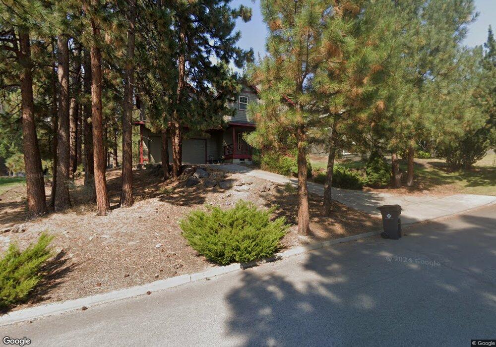
1932 SW Prestwick Place Bend, OR 97702
Summit West NeighborhoodEstimated Value: $912,000 - $1,026,000
3
Beds
3
Baths
1,894
Sq Ft
$507/Sq Ft
Est. Value
About This Home
This home is located at 1932 SW Prestwick Place, Bend, OR 97702 and is currently estimated at $960,774, approximately $507 per square foot. 1932 SW Prestwick Place is a home located in Deschutes County with nearby schools including High Lakes Elementary School, Pacific Crest Middle School, and Summit High School.
Ownership History
Date
Name
Owned For
Owner Type
Purchase Details
Closed on
Mar 23, 2004
Sold by
Ransom John W
Bought by
Ransom Robert C and Ransom Gayle J
Current Estimated Value
Home Financials for this Owner
Home Financials are based on the most recent Mortgage that was taken out on this home.
Original Mortgage
$187,500
Interest Rate
3.87%
Mortgage Type
New Conventional
Create a Home Valuation Report for This Property
The Home Valuation Report is an in-depth analysis detailing your home's value as well as a comparison with similar homes in the area
Home Values in the Area
Average Home Value in this Area
Purchase History
| Date | Buyer | Sale Price | Title Company |
|---|---|---|---|
| Ransom Robert C | $250,000 | First Amer Title Ins Co Or |
Source: Public Records
Mortgage History
| Date | Status | Borrower | Loan Amount |
|---|---|---|---|
| Closed | Ransom Robert C | $187,500 |
Source: Public Records
Tax History Compared to Growth
Tax History
| Year | Tax Paid | Tax Assessment Tax Assessment Total Assessment is a certain percentage of the fair market value that is determined by local assessors to be the total taxable value of land and additions on the property. | Land | Improvement |
|---|---|---|---|---|
| 2025 | $5,905 | $349,490 | -- | -- |
| 2024 | $5,681 | $339,320 | -- | -- |
| 2023 | $5,267 | $329,440 | $0 | $0 |
| 2022 | $4,914 | $310,540 | $0 | $0 |
| 2021 | $4,921 | $301,500 | $0 | $0 |
| 2020 | $4,669 | $301,500 | $0 | $0 |
| 2019 | $4,539 | $292,720 | $0 | $0 |
| 2018 | $4,411 | $284,200 | $0 | $0 |
| 2017 | $4,282 | $275,930 | $0 | $0 |
| 2016 | $4,083 | $267,900 | $0 | $0 |
| 2015 | $3,970 | $260,100 | $0 | $0 |
| 2014 | $3,919 | $252,530 | $0 | $0 |
Source: Public Records
Map
Nearby Homes
- 1828 SW Troon Ave
- 1834 SW Turnberry Place
- 1829 SW Turnberry Place
- 15 SW Quail Butte Place
- 1785 SW Troon Ave
- 1772 SW Troon Ave
- 19490 Green Lakes Loop
- 1710 SW Knoll Ave
- 113 NW Outlook Vista Dr
- 19571 SW Simpson Ave
- 19651 Painted Ridge Loop
- 319 NW Flagline Dr
- 19586 Green Lakes Loop
- 400 NW Flagline Dr
- 137 NW Outlook Vista Dr
- 505 NW Flagline Dr
- 2409 NW Quinn Creek Loop
- 19442 Chip Shot Ln
- 2379 NW Drouillard Ave
- 19563 Painted Ridge Loop
- 1950 SW Prestwick Place
- 19 SW Gleneagles Way
- 1968 SW Prestwick Place
- 1915 SW Prestwick Place
- 1933 SW Prestwick Place
- 1986 SW Prestwick Place
- 1951 SW Prestwick Place
- 1901 SW Prestwick Place
- 1987 SW Prestwick Place
- 1868 SW Turnberry Place
- 1969 SW Prestwick Place
- 46 SW Gleneagles Way
- 32 SW Gleneagles Way
- 1928 SW Troon Ave
- 1900 SW Troon Ave
- 30 SW Quail Butte Place
- 20 SW Quail Butte Place
- 55 SW Gleneagles Way
- 40 SW Quail Butte Place
- 1942 SW Troon Ave