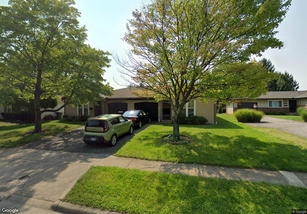
1933 Hampstead Dr Unit 935 Columbus, OH 43229
Northgate NeighborhoodEstimated Value: $304,000 - $381,000
4
Beds
2
Baths
2,112
Sq Ft
$158/Sq Ft
Est. Value
About This Home
This home is located at 1933 Hampstead Dr Unit 935, Columbus, OH 43229 and is currently estimated at $333,032, approximately $157 per square foot. 1933 Hampstead Dr Unit 935 is a home located in Franklin County with nearby schools including Alpine Elementary School, Northgate Intermediate, and Woodward Park Middle School.
Ownership History
Date
Name
Owned For
Owner Type
Purchase Details
Closed on
Oct 9, 2018
Sold by
Shepherd William J and Shepherd Brenda S
Bought by
Massey Joseph M
Current Estimated Value
Home Financials for this Owner
Home Financials are based on the most recent Mortgage that was taken out on this home.
Interest Rate
4.71%
Purchase Details
Closed on
Sep 24, 2009
Sold by
Strapp Karol S
Bought by
Shepherd William J and Shepherd Brenda S
Purchase Details
Closed on
Jul 17, 1996
Sold by
Mampieri Louis A
Bought by
Strapp William F and Strapp Karol S
Home Financials for this Owner
Home Financials are based on the most recent Mortgage that was taken out on this home.
Original Mortgage
$139,000
Interest Rate
8.88%
Mortgage Type
New Conventional
Purchase Details
Closed on
Sep 21, 1993
Create a Home Valuation Report for This Property
The Home Valuation Report is an in-depth analysis detailing your home's value as well as a comparison with similar homes in the area
Home Values in the Area
Average Home Value in this Area
Purchase History
| Date | Buyer | Sale Price | Title Company |
|---|---|---|---|
| Massey Joseph M | $125,000 | -- | |
| Shepherd William J | $11,000 | Talon Group | |
| Strapp William F | $133,500 | -- | |
| -- | -- | -- |
Source: Public Records
Mortgage History
| Date | Status | Borrower | Loan Amount |
|---|---|---|---|
| Closed | Massey Joseph M | -- | |
| Previous Owner | Strapp William F | $139,000 |
Source: Public Records
Tax History Compared to Growth
Tax History
| Year | Tax Paid | Tax Assessment Tax Assessment Total Assessment is a certain percentage of the fair market value that is determined by local assessors to be the total taxable value of land and additions on the property. | Land | Improvement |
|---|---|---|---|---|
| 2024 | $4,257 | $92,900 | $22,720 | $70,180 |
| 2023 | $4,354 | $92,890 | $22,715 | $70,175 |
| 2022 | $2,855 | $50,900 | $12,080 | $38,820 |
| 2021 | $2,860 | $50,900 | $12,080 | $38,820 |
| 2020 | $2,864 | $50,900 | $12,080 | $38,820 |
| 2019 | $2,681 | $40,710 | $9,660 | $31,050 |
| 2018 | $2,582 | $40,710 | $9,660 | $31,050 |
| 2017 | $2,714 | $40,710 | $9,660 | $31,050 |
| 2016 | $2,897 | $42,640 | $9,630 | $33,010 |
| 2015 | $2,637 | $42,640 | $9,630 | $33,010 |
| 2014 | $2,644 | $42,640 | $9,630 | $33,010 |
| 2013 | $1,449 | $47,390 | $10,710 | $36,680 |
Source: Public Records
Map
Nearby Homes
- 6019 Beechcroft Rd
- 6245 Sharon Woods Blvd
- 5732 Beechcroft Rd Unit B
- 2250 Webster Canyon Ct
- 5726 Beechcroft Rd Unit J
- 1752 Pine Tree St S Unit H
- 1743 Pine Tree St N Unit A
- 1881 Brimfield Rd
- 6035 Karl Rd
- 1549 Alpine Dr
- 6355 Johnanne St
- 6342 Bellmeadow Dr
- 2197 Bayfield Dr
- 6048 Pinemoor St
- 6407 Skywae Dr
- 2084 Brookfield Rd
- 2292 Laurelwood Dr Unit 2292L
- 1687 Brookfield Square S
- 1914 Walden Dr
- 6407 Faircrest Rd
- 1933-1935 Hampstead Dr
- 1941 Hampstead Dr Unit 943
- 1941 Hampstead Dr Unit 2
- 1921-1923 Hampstead Dr
- 1921 Hampstead Dr Unit 923
- 1921 Hampstead Dr Unit 1923
- 1955 Hampstead Dr Unit 957
- 1913 Hampstead Dr Unit 915
- 1915 Hampstead Dr
- 1913 Hampstead Dr
- 1938 -1940 Hampstead Dr
- 1930 Hampstead Dr Unit 932
- 1938-1940 Hampstead Dr
- 1938 Hampstead Dr Unit 940
- 1922-1924 Hampstead Dr
- 1952 Hampstead Dr
- 1922 Hampstead Dr Unit 924
- 1901-1903 Hampstead Dr Unit 903
- 1901 Hampstead Dr Unit 903
- 1963 Hampstead Dr Unit 965