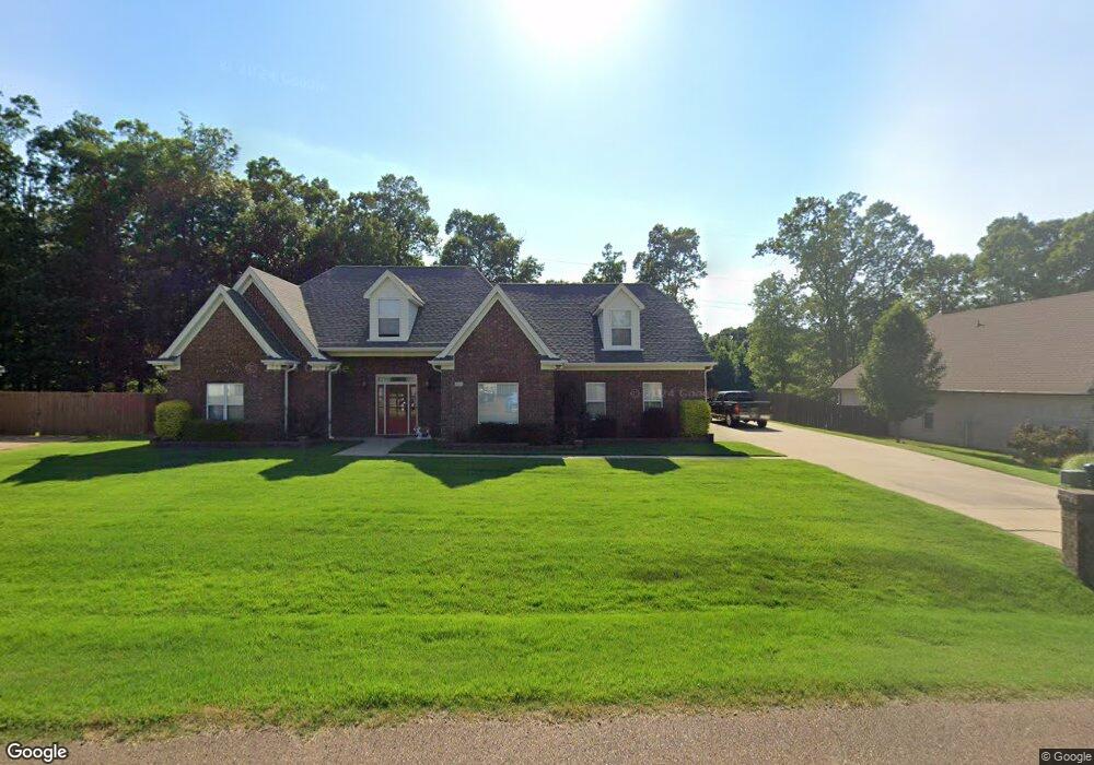
1933 Keenlan Dr W Hernando, MS 38632
Estimated Value: $394,152 - $461,000
4
Beds
--
Bath
3,050
Sq Ft
$142/Sq Ft
Est. Value
About This Home
This home is located at 1933 Keenlan Dr W, Hernando, MS 38632 and is currently estimated at $432,788, approximately $141 per square foot. 1933 Keenlan Dr W is a home located in DeSoto County with nearby schools including Oak Grove Central Elementary School, Hernando Hills Elementary, and Hernando Elementary School.
Ownership History
Date
Name
Owned For
Owner Type
Purchase Details
Closed on
Feb 27, 2014
Sold by
Bass Anthony
Bought by
Rosenbury Nancy A and Young Michael O
Current Estimated Value
Home Financials for this Owner
Home Financials are based on the most recent Mortgage that was taken out on this home.
Original Mortgage
$225,834
Outstanding Balance
$170,184
Interest Rate
4.42%
Mortgage Type
FHA
Estimated Equity
$262,604
Purchase Details
Closed on
Jan 26, 2007
Sold by
Letson Neal
Bought by
Bass Anthony and Bass Susan
Create a Home Valuation Report for This Property
The Home Valuation Report is an in-depth analysis detailing your home's value as well as a comparison with similar homes in the area
Home Values in the Area
Average Home Value in this Area
Purchase History
| Date | Buyer | Sale Price | Title Company |
|---|---|---|---|
| Rosenbury Nancy A | -- | First Natl Fincl Title Svc | |
| Bass Anthony | -- | None Available |
Source: Public Records
Mortgage History
| Date | Status | Borrower | Loan Amount |
|---|---|---|---|
| Open | Rosenbury Nancy A | $225,834 |
Source: Public Records
Tax History
| Year | Tax Paid | Tax Assessment Tax Assessment Total Assessment is a certain percentage of the fair market value that is determined by local assessors to be the total taxable value of land and additions on the property. | Land | Improvement |
|---|---|---|---|---|
| 2025 | $1,619 | $21,310 | $3,500 | $17,810 |
| 2024 | $1,926 | $21,310 | $3,500 | $17,810 |
| 2023 | $1,926 | $21,310 | $0 | $0 |
| 2022 | $1,926 | $21,310 | $3,500 | $17,810 |
| 2021 | $1,926 | $21,310 | $3,500 | $17,810 |
| 2020 | $1,926 | $21,310 | $3,500 | $17,810 |
| 2019 | $1,926 | $21,310 | $3,500 | $17,810 |
| 2017 | $1,850 | $37,890 | $20,695 | $17,195 |
| 2016 | $1,570 | $19,178 | $3,500 | $15,678 |
| 2015 | $2,563 | $34,856 | $19,178 | $15,678 |
| 2014 | $2,212 | $19,178 | $0 | $0 |
| 2013 | $2,276 | $19,178 | $0 | $0 |
Source: Public Records
Map
Nearby Homes
- 1742 Keenlan Dr W
- 1916 Trapper Dr
- 1377 Notting Hill Loop
- 1335 Creekside Blvd
- 1705 Cedar Lake Cove
- 5188 Reserve Way
- 5267 Reserve Way
- 2197 Hyacinth Ln
- 3066 Meadows Way
- 1254 Creekside Ln
- 665 Cedar Grove Cove
- 1567 Eden Loop
- 0 E Commerce St
- 2953 Dove Cove
- 2850 Jaybird Rd
- 2890 Jaybird Rd
- 833 Martin Cir N
- 990 Eagle Ridge Cove
- 791 Hickory Ridge Dr
- 879 Red Cedar Loop
- 1915 Keenlan Dr W
- 1963 Keenlan Dr W
- 1897 Keenlan Dr W
- 1971 Oakbridge Rd N
- 1971 Oak Bridge Rd N
- 1942 W Keenlan Dr Unit L 126
- 1942 W Keenlan Dr
- 1920 Keenlan Dr W
- 1940 Keenlan Dr W
- 1914 W Keenlan Dr Unit L 125
- 1900 Keenlan Dr W
- 1875 Keenlan Dr W
- 1989 Oak Bridge Rd N
- 1989 Oakbridge Rd N
- 1859 Keenlan Dr W
- 1884 Keenlan Dr W
- 1610 Keenlan Dr
- 1610 Keenlan Dr Unit L 115
- 1599 Keenlan Dr
- 1599 Keenlan Dr Unit L 132
Your Personal Tour Guide
Ask me questions while you tour the home.