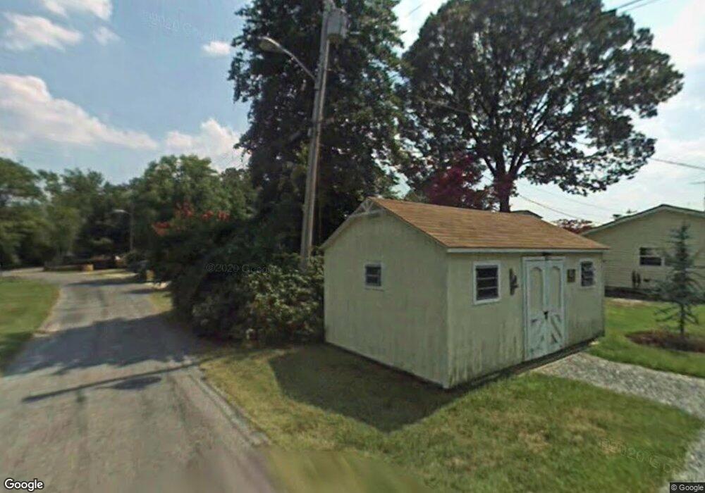
1933 Locust Rd Pasadena, MD 21122
Jacobsville-Bayside Beach NeighborhoodEstimated Value: $795,000 - $1,008,000
Studio
2
Baths
2,542
Sq Ft
$356/Sq Ft
Est. Value
About This Home
This home is located at 1933 Locust Rd, Pasadena, MD 21122 and is currently estimated at $904,835, approximately $355 per square foot. 1933 Locust Rd is a home located in Anne Arundel County with nearby schools including Fort Smallwood Elementary School, Chesapeake Bay Middle School, and Chesapeake High School.
Ownership History
Date
Name
Owned For
Owner Type
Purchase Details
Closed on
Feb 15, 2019
Sold by
Lamartina Stephen J and Estate Of Ellen M Lamartina
Bought by
Siegman Ellen C and Siegman Richard A
Current Estimated Value
Home Financials for this Owner
Home Financials are based on the most recent Mortgage that was taken out on this home.
Original Mortgage
$517,000
Outstanding Balance
$453,609
Interest Rate
4.4%
Mortgage Type
New Conventional
Estimated Equity
$451,226
Create a Home Valuation Report for This Property
The Home Valuation Report is an in-depth analysis detailing your home's value as well as a comparison with similar homes in the area
Home Values in the Area
Average Home Value in this Area
Purchase History
| Date | Buyer | Sale Price | Title Company |
|---|---|---|---|
| Siegman Ellen C | $600,000 | Preferred Title & Escrow Inc |
Source: Public Records
Mortgage History
| Date | Status | Borrower | Loan Amount |
|---|---|---|---|
| Open | Siegman Ellen C | $517,000 |
Source: Public Records
Tax History Compared to Growth
Tax History
| Year | Tax Paid | Tax Assessment Tax Assessment Total Assessment is a certain percentage of the fair market value that is determined by local assessors to be the total taxable value of land and additions on the property. | Land | Improvement |
|---|---|---|---|---|
| 2025 | $7,091 | $745,067 | -- | -- |
| 2024 | $7,091 | $658,000 | $414,900 | $243,100 |
| 2023 | $7,232 | $619,967 | $0 | $0 |
| 2022 | $6,697 | $581,933 | $0 | $0 |
| 2020 | $6,390 | $539,633 | $0 | $0 |
| 2019 | $6,351 | $535,367 | $0 | $0 |
| 2018 | $5,385 | $531,100 | $346,100 | $185,000 |
| 2017 | $4,403 | $512,900 | $0 | $0 |
| 2016 | -- | $494,700 | $0 | $0 |
| 2015 | -- | $476,500 | $0 | $0 |
| 2014 | -- | $476,500 | $0 | $0 |
Source: Public Records
Map
Nearby Homes
- 1930 Cedar Rd
- 2004 Gooseneck Rd
- 7963 Oak Rd
- 7715 Paradise Beach Rd
- LOT 1 Burgess Rd
- 1627 Lakewood Rd
- 7819 Appletree Rd
- 7821 Bodkin View Dr
- 1638 Carnoustie Dr
- 0 Bush Ave
- 2053 Kurtz Ave
- 2032 Kurtz Ave
- 9188 Firefly Run
- 151 Long Point Ct
- 7654 Bay St
- 1976 Yorkie Ave
- 1664 Glen Dr
- 8407 Bodkin Ave
- 8425 Bussenius Rd
- 1590 Long Point Rd
- 1931 Locust Rd
- 1927 Locust Rd
- 1937 Locust Rd
- 1925 Locust Rd
- 1941 Locust Rd
- 1923 Poplar Ridge Rd
- 1921 Poplar Ridge Rd
- 1915 Poplar Ridge Rd
- 1970 Poplar Ridge Rd
- 1966 Poplar Ridge Rd
- 1933 Poplar Ridge Rd
- 1964 Poplar Ridge Rd
- 1974 Poplar Ridge Rd
- 1949 Poplar Ridge Rd
- 1913 Poplar Ridge Rd
- 1972 Poplar Ridge Rd
- 1960 Poplar Ridge Rd
- 1911 Poplar Ridge Rd
- 1976 Poplar Ridge Rd
- 1978 Poplar Ridge Rd
