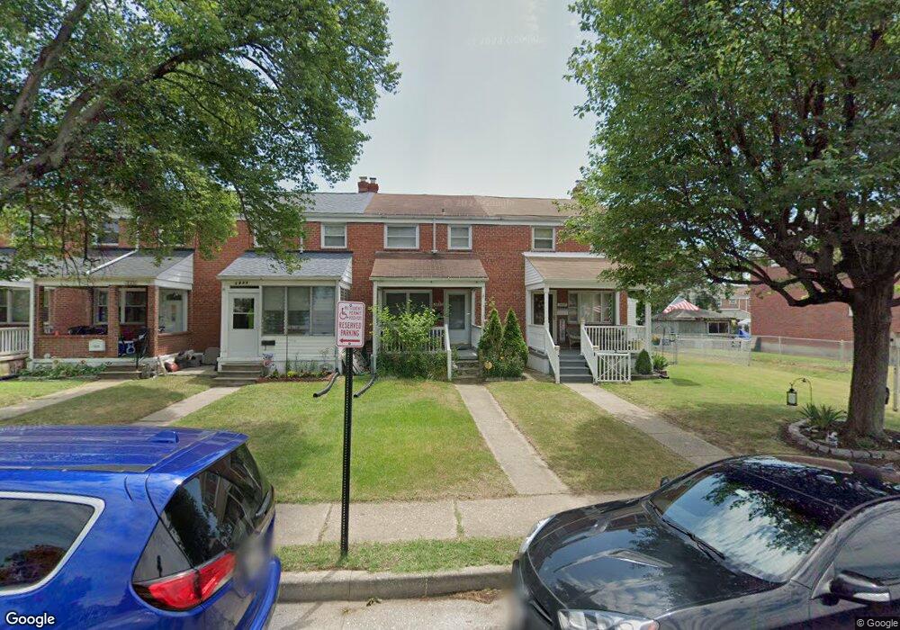
1933 Merritt Blvd Dundalk, MD 21222
Estimated Value: $192,000 - $230,000
--
Bed
1
Bath
1,008
Sq Ft
$211/Sq Ft
Est. Value
About This Home
This home is located at 1933 Merritt Blvd, Dundalk, MD 21222 and is currently estimated at $212,811, approximately $211 per square foot. 1933 Merritt Blvd is a home located in Baltimore County with nearby schools including Grange Elementary School, General John Stricker Middle School, and Patapsco High & Center for Arts.
Ownership History
Date
Name
Owned For
Owner Type
Purchase Details
Closed on
Jul 27, 2012
Sold by
Triple A Properties Llc
Bought by
Gross Jennifer M
Current Estimated Value
Home Financials for this Owner
Home Financials are based on the most recent Mortgage that was taken out on this home.
Original Mortgage
$137,464
Outstanding Balance
$95,363
Interest Rate
3.7%
Mortgage Type
FHA
Estimated Equity
$117,448
Purchase Details
Closed on
Jan 24, 2012
Sold by
Glushakow Robert S and Burgess Douglas L
Bought by
Triple A Properties Llc
Purchase Details
Closed on
Nov 18, 2004
Sold by
Isennock Amelia Zaharis
Bought by
Rill Timothy D and Rill Theresa C
Purchase Details
Closed on
Nov 6, 2004
Sold by
Phillips Amelia E
Bought by
Isennock Amelia Zaharis
Create a Home Valuation Report for This Property
The Home Valuation Report is an in-depth analysis detailing your home's value as well as a comparison with similar homes in the area
Home Values in the Area
Average Home Value in this Area
Purchase History
| Date | Buyer | Sale Price | Title Company |
|---|---|---|---|
| Gross Jennifer M | $140,000 | Lakeside Title Company | |
| Triple A Properties Llc | $51,500 | Lakeside Title Company | |
| Rill Timothy D | $90,900 | -- | |
| Rill Timothy D | $90,900 | -- | |
| Isennock Amelia Zaharis | -- | -- |
Source: Public Records
Mortgage History
| Date | Status | Borrower | Loan Amount |
|---|---|---|---|
| Open | Gross Jennifer M | $137,464 |
Source: Public Records
Tax History Compared to Growth
Tax History
| Year | Tax Paid | Tax Assessment Tax Assessment Total Assessment is a certain percentage of the fair market value that is determined by local assessors to be the total taxable value of land and additions on the property. | Land | Improvement |
|---|---|---|---|---|
| 2025 | $2,025 | $136,833 | -- | -- |
| 2024 | $2,025 | $127,667 | $0 | $0 |
| 2023 | $975 | $118,500 | $36,000 | $82,500 |
| 2022 | $1,981 | $117,033 | $0 | $0 |
| 2021 | $2,194 | $115,567 | $0 | $0 |
| 2020 | $2,194 | $114,100 | $36,000 | $78,100 |
| 2019 | $2,013 | $111,433 | $0 | $0 |
| 2018 | $1,784 | $108,767 | $0 | $0 |
| 2017 | $2,139 | $106,100 | $0 | $0 |
| 2016 | $1,896 | $106,100 | $0 | $0 |
| 2015 | $1,896 | $106,100 | $0 | $0 |
| 2014 | $1,896 | $122,600 | $0 | $0 |
Source: Public Records
Map
Nearby Homes
- 2707 Moorgate Rd
- 1935 Stanhope Rd
- 2738 Moorgate Rd
- 1940 Wareham Rd
- 2735 Moorgate Rd
- 2746 Moorgate Rd
- 2706 Kirkleigh Rd
- 1922 Ormand Rd
- 7252 Meadow Ln
- 7245 Meadow Ln
- 2338 Searles Rd
- 2743 Kirkleigh Rd
- 1940H Robinwood Rd
- 7608 Dunmanway
- 7815 Rockbourne Rd
- 7821 Rockbourne Rd
- 2922 Sollers Point Rd
- 7443 Lawrence Rd
- 7518 Lawrence Rd
- 7445 Holabird Ave
- 1931 Merritt Blvd
- 1935 Merritt Blvd
- 1929 Merritt Blvd
- 1927 Merritt Blvd
- 1937 Merritt Blvd
- 1925 Merritt Blvd
- 1939 Merritt Blvd
- 1923 Merritt Blvd
- 1941 Merritt Blvd
- 1921 Merritt Blvd
- 1932 Stanhope Rd
- 1943 Merritt Blvd
- 1930 Stanhope Rd
- 1934 Stanhope Rd
- 1928 Stanhope Rd
- 1926 Stanhope Rd
- 1919 Merritt Blvd
- 1936 Stanhope Rd
- 1945 Merritt Blvd
- 1924 Stanhope Rd