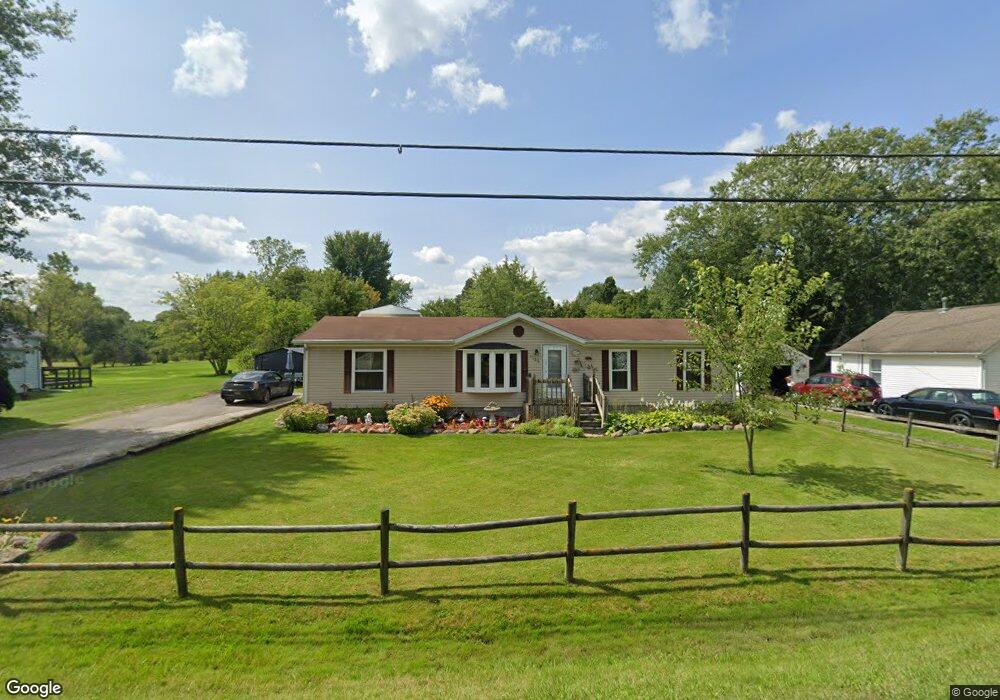
1933 Omar Rd Kimball, MI 48074
Estimated Value: $228,000 - $264,000
3
Beds
2
Baths
1,992
Sq Ft
$125/Sq Ft
Est. Value
About This Home
This home is located at 1933 Omar Rd, Kimball, MI 48074 and is currently estimated at $248,791, approximately $124 per square foot. 1933 Omar Rd is a home located in St. Clair County with nearby schools including Kimball Elementary School, Central Middle School, and Port Huron High School.
Ownership History
Date
Name
Owned For
Owner Type
Purchase Details
Closed on
Dec 26, 2016
Sold by
Dickinson Sheila L and Green Sheila L
Bought by
Dickinson Sheila L
Current Estimated Value
Purchase Details
Closed on
Dec 29, 2006
Sold by
Green Addie M
Bought by
Green Sheila L
Home Financials for this Owner
Home Financials are based on the most recent Mortgage that was taken out on this home.
Original Mortgage
$91,266
Outstanding Balance
$54,631
Interest Rate
6.24%
Mortgage Type
FHA
Estimated Equity
$194,160
Create a Home Valuation Report for This Property
The Home Valuation Report is an in-depth analysis detailing your home's value as well as a comparison with similar homes in the area
Home Values in the Area
Average Home Value in this Area
Purchase History
| Date | Buyer | Sale Price | Title Company |
|---|---|---|---|
| Dickinson Sheila L | -- | None Available | |
| Green Sheila L | $93,000 | None Available |
Source: Public Records
Mortgage History
| Date | Status | Borrower | Loan Amount |
|---|---|---|---|
| Open | Green Sheila L | $91,266 |
Source: Public Records
Tax History Compared to Growth
Tax History
| Year | Tax Paid | Tax Assessment Tax Assessment Total Assessment is a certain percentage of the fair market value that is determined by local assessors to be the total taxable value of land and additions on the property. | Land | Improvement |
|---|---|---|---|---|
| 2025 | $1,817 | $122,100 | $0 | $0 |
| 2024 | $973 | $112,300 | $0 | $0 |
| 2023 | $891 | $108,300 | $0 | $0 |
| 2022 | $1,677 | $93,700 | $0 | $0 |
| 2021 | $1,552 | $88,400 | $0 | $0 |
| 2020 | $1,552 | $88,000 | $88,000 | $0 |
| 2019 | $1,528 | $80,800 | $0 | $0 |
| 2018 | $1,469 | $65,200 | $0 | $0 |
| 2017 | $1,444 | $64,600 | $0 | $0 |
| 2016 | $749 | $64,600 | $0 | $0 |
| 2015 | -- | $62,600 | $62,600 | $0 |
| 2014 | -- | $52,600 | $52,600 | $0 |
| 2013 | -- | $59,800 | $0 | $0 |
Source: Public Records
Map
Nearby Homes
- 1979 Allen Rd
- 1830 Leland Rd
- V/L Allen
- 1701 Allen Rd
- 4632 Cloverdale Ln
- 00 Howard Rd
- 4595 Griswold Rd
- 1604 Allen Rd
- 0 Allen Rd Unit 20250008597
- 0 Allen Rd Unit 20250008612
- 0000 Range Rd
- 1405 Range Rd
- 00 Range Rd
- 5510 Griswold Rd
- 0 Wall Rd Unit 50185999
- 0 Lapeer Rd Unit 50137357
- 1876 Morningstar Ave
- 0 Wadhams Rd Unit 50155021
- 1091 Allen Rd
- 4380 Lapeer Rd