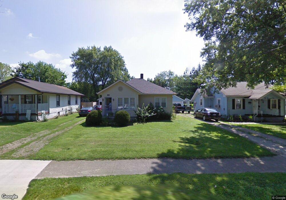
1933 Sheffield St Unit 935 Middletown, OH 45044
Mayfield NeighborhoodEstimated Value: $81,000 - $126,462
2
Beds
2
Baths
864
Sq Ft
$111/Sq Ft
Est. Value
About This Home
This home is located at 1933 Sheffield St Unit 935, Middletown, OH 45044 and is currently estimated at $95,616, approximately $110 per square foot. 1933 Sheffield St Unit 935 is a home located in Butler County with nearby schools including Mayfield Elementary School, Highview 6th Grade Center, and Middletown Middle School.
Ownership History
Date
Name
Owned For
Owner Type
Purchase Details
Closed on
Nov 12, 2024
Sold by
Armstrong Family Revocable Living Trust and Armstrong Janice M
Bought by
Olvera Castelan Alvaro
Current Estimated Value
Purchase Details
Closed on
Nov 20, 2003
Sold by
Armstrong Janice and Armstong Roland E
Bought by
Armstrong Roland E and Armstrong Janice M
Create a Home Valuation Report for This Property
The Home Valuation Report is an in-depth analysis detailing your home's value as well as a comparison with similar homes in the area
Home Values in the Area
Average Home Value in this Area
Purchase History
| Date | Buyer | Sale Price | Title Company |
|---|---|---|---|
| Olvera Castelan Alvaro | $85,000 | None Listed On Document | |
| Armstrong Roland E | -- | -- |
Source: Public Records
Tax History Compared to Growth
Tax History
| Year | Tax Paid | Tax Assessment Tax Assessment Total Assessment is a certain percentage of the fair market value that is determined by local assessors to be the total taxable value of land and additions on the property. | Land | Improvement |
|---|---|---|---|---|
| 2024 | $4,365 | $32,850 | $6,670 | $26,180 |
| 2023 | $1,731 | $32,850 | $6,670 | $26,180 |
| 2022 | $2,214 | $23,990 | $6,670 | $17,320 |
| 2021 | $1,526 | $23,990 | $6,670 | $17,320 |
| 2020 | $1,434 | $23,990 | $6,670 | $17,320 |
| 2019 | $1,104 | $15,230 | $6,200 | $9,030 |
| 2018 | $986 | $15,230 | $6,200 | $9,030 |
| 2017 | $988 | $15,230 | $6,200 | $9,030 |
| 2016 | $908 | $13,410 | $6,200 | $7,210 |
| 2015 | $895 | $13,410 | $6,200 | $7,210 |
| 2014 | $1,239 | $13,410 | $6,200 | $7,210 |
| 2013 | $1,239 | $20,170 | $6,200 | $13,970 |
Source: Public Records
Map
Nearby Homes
- 1933 Sheffield St
- 2120 Fernwood St
- 1804 Fernwood St
- 2128 Lamberton St
- 1728 Fernwood St
- 2212 Fernwood St
- 2033 Jackson Ln
- 2010 Waynedale Ct
- 2225 Sheffield St
- 1901 Brentwood St
- 1808 Waynebrook Dr
- 1811 Waynebrook Dr
- 1605 Lamberton St
- 3002 Goldman Ave
- 3218 Keays Ave
- 3610 Roosevelt Blvd
- 3220 Barbara Dr
- 1308 Orchard St
- 1919 Greenfield Dr
- 1030 Jackson Ln
- 1929 Sheffield St
- 2001 Sheffield St
- 1925 Sheffield St Unit 927
- 2005 Sheffield St
- 1921 Sheffield St
- 2009 Sheffield St
- 1932 Sheffield St
- 2000 Sheffield St
- 1928 Sheffield St
- 2013 Sheffield St
- 2004 Sheffield St
- 1924 Sheffield St
- 1917 Sheffield St
- 2008 Sheffield St
- 1920 Sheffield St
- 2017 Sheffield St
- 1913 Sheffield St
- 1916 Sheffield St
- 2016 Sheffield St
- 1912 Sheffield St