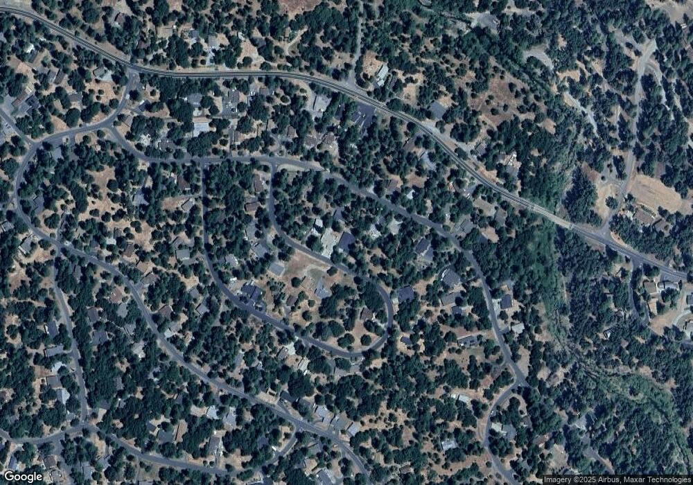
19339 James Cir Unit 233 Groveland, CA 95321
Estimated Value: $552,000 - $712,000
3
Beds
3
Baths
2,406
Sq Ft
$261/Sq Ft
Est. Value
About This Home
This home is located at 19339 James Cir Unit 233, Groveland, CA 95321 and is currently estimated at $627,161, approximately $260 per square foot. 19339 James Cir Unit 233 is a home located in Tuolumne County.
Ownership History
Date
Name
Owned For
Owner Type
Purchase Details
Closed on
Oct 11, 2021
Sold by
Billups Donnie P and Billups June L
Bought by
Dekas Robert S and Dekas Laura D
Current Estimated Value
Purchase Details
Closed on
Jun 25, 2007
Sold by
Billups Don P and Billups June L
Bought by
Billups Donnie P and Billups June L
Purchase Details
Closed on
Jul 18, 2006
Sold by
Rmp Sierra Development Co
Bought by
Billups Don P and Billups June L
Home Financials for this Owner
Home Financials are based on the most recent Mortgage that was taken out on this home.
Original Mortgage
$494,400
Interest Rate
6.76%
Mortgage Type
Purchase Money Mortgage
Purchase Details
Closed on
Oct 25, 2004
Sold by
Mcbride Belinda H
Bought by
Rmp Sierra Development Co
Purchase Details
Closed on
May 12, 2004
Sold by
Mcbride Belinda H
Bought by
Mcbride Brian D and Mcbride Shannon B
Create a Home Valuation Report for This Property
The Home Valuation Report is an in-depth analysis detailing your home's value as well as a comparison with similar homes in the area
Home Values in the Area
Average Home Value in this Area
Purchase History
| Date | Buyer | Sale Price | Title Company |
|---|---|---|---|
| Dekas Robert S | $703,000 | Fidelity National Title Co | |
| Billups Donnie P | -- | None Available | |
| Billups Don P | $618,000 | Yosemite Title Company | |
| Rmp Sierra Development Co | $2,500 | Yosemite Title Co | |
| Mcbride Belinda H | -- | Yosemite Title Co | |
| Mcbride Belinda H | -- | Yosemite Title Co | |
| Mcbride Belinda H | -- | Yosemite Title Co | |
| Mcbride Belinda H | -- | Yosemite Title Co | |
| Mcbride Brian D | -- | -- |
Source: Public Records
Mortgage History
| Date | Status | Borrower | Loan Amount |
|---|---|---|---|
| Previous Owner | Billups Don P | $494,400 |
Source: Public Records
Tax History Compared to Growth
Tax History
| Year | Tax Paid | Tax Assessment Tax Assessment Total Assessment is a certain percentage of the fair market value that is determined by local assessors to be the total taxable value of land and additions on the property. | Land | Improvement |
|---|---|---|---|---|
| 2025 | $5,584 | $511,042 | $54,121 | $456,921 |
| 2024 | $5,584 | $501,022 | $53,060 | $447,962 |
| 2023 | $5,463 | $491,199 | $52,020 | $439,179 |
| 2022 | $5,358 | $481,568 | $51,000 | $430,568 |
| 2021 | $6,436 | $576,997 | $121,473 | $455,524 |
| 2020 | $5,985 | $539,249 | $113,526 | $425,723 |
| 2019 | $5,803 | $528,675 | $111,300 | $417,375 |
| 2018 | $5,511 | $503,500 | $106,000 | $397,500 |
| 2017 | $5,023 | $457,000 | $96,000 | $361,000 |
| 2016 | $4,771 | $436,104 | $91,736 | $344,368 |
| 2015 | $4,781 | $436,104 | $91,736 | $344,368 |
| 2014 | $4,337 | $396,459 | $83,397 | $313,062 |
Source: Public Records
Map
Nearby Homes
- 13166 Wells Fargo Dr
- 13150 Wells Fargo Dr
- 19418 Ferretti Rd
- 13133 Mohrmann St
- 13161 Jackson Mill Dr
- 13061 Moeklumnes Cir
- 19563 Cottonwood St
- 12918 Jackson Mill Dr
- 19369 Ferretti Rd
- 13024 Burns Ct
- 19099 Raboul Ct
- 13095 Fox Ct
- 13025 Gamble St
- 12944 Wells Fargo Dr
- 13069 Wells Fargo Dr
- 0 Mueller Dr Unit 224127979
- 13024 Gamble St
- 12904 Jackson Mill Dr
- 19339 James Cir
- 19349 James Cir Unit 232
- 19349 James Cir
- 13242 Wells Fargo Dr Unit 2/225
- 13242 Wells Fargo Dr
- 13220 Wells Fargo Dr
- 19353 James Cir
- 13250 Wells Fargo Dr Unit 226
- 13250 Wells Fargo Dr
- 13210 Wells Fargo Dr
- 0 James Cir Unit 355 20121242
- 0 James Cir Unit 358
- 19310 James Cir Unit 357
- 19310 James Cir Unit 2/357
- 19310 James Cir
- 19336 James Cir
- 19340 James Cir Unit 2
- 19340 James Cir
- 13254 Wells Fargo Dr Unit 227
- 13254 Wells Fargo Dr
