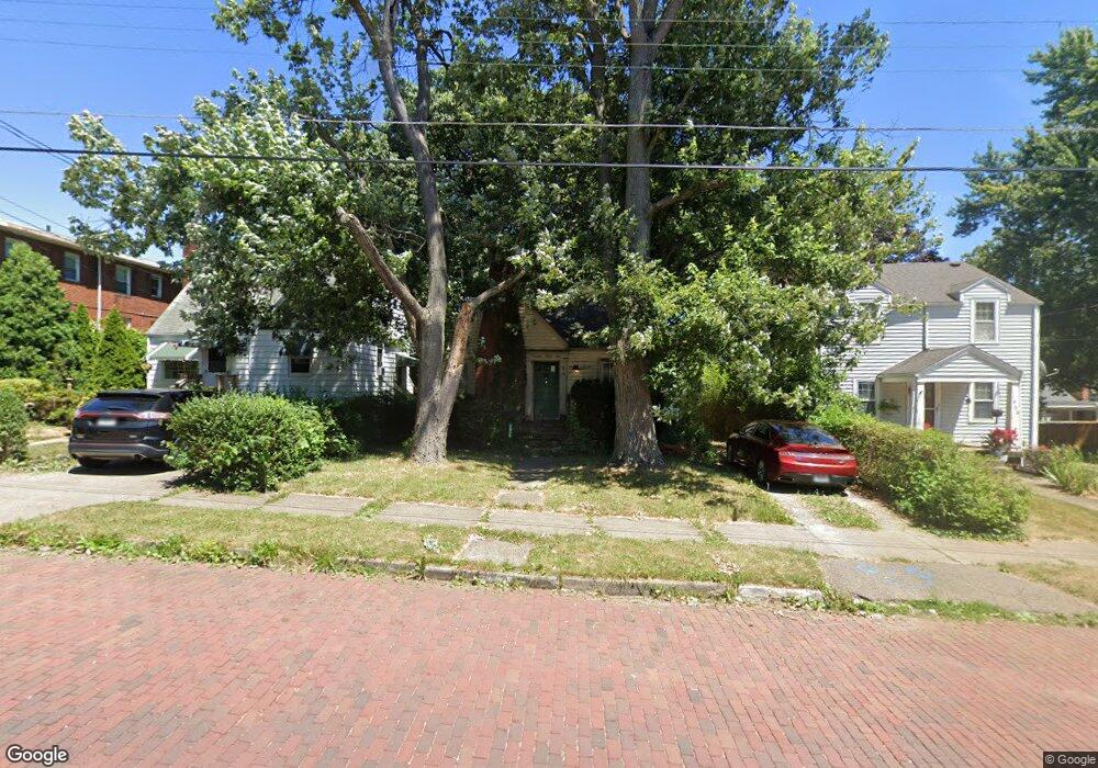
1934 Rowland Ave NE Canton, OH 44714
Colonial Heights NeighborhoodEstimated Value: $82,000 - $128,000
2
Beds
2
Baths
1,222
Sq Ft
$89/Sq Ft
Est. Value
About This Home
This home is located at 1934 Rowland Ave NE, Canton, OH 44714 and is currently estimated at $108,658, approximately $88 per square foot. 1934 Rowland Ave NE is a home located in Stark County with nearby schools including Belle Stone Elementary School, Early Learning Center @ Schreiber, and Youtz Intermediate School.
Ownership History
Date
Name
Owned For
Owner Type
Purchase Details
Closed on
Oct 31, 2008
Sold by
Clark Randall S and Clark Maureen R
Bought by
Bliese James A
Current Estimated Value
Purchase Details
Closed on
Apr 24, 2008
Sold by
Estate Of Claudia C Clark
Bought by
Clark Randall S
Purchase Details
Closed on
Aug 7, 2003
Sold by
Clark Ronald O and Clark Claudia C
Bought by
Clark Ronald O and Clark Claudia C
Create a Home Valuation Report for This Property
The Home Valuation Report is an in-depth analysis detailing your home's value as well as a comparison with similar homes in the area
Home Values in the Area
Average Home Value in this Area
Purchase History
| Date | Buyer | Sale Price | Title Company |
|---|---|---|---|
| Bliese James A | $24,000 | Attorney | |
| Clark Randall S | -- | None Available | |
| Clark Ronald O | -- | -- |
Source: Public Records
Tax History Compared to Growth
Tax History
| Year | Tax Paid | Tax Assessment Tax Assessment Total Assessment is a certain percentage of the fair market value that is determined by local assessors to be the total taxable value of land and additions on the property. | Land | Improvement |
|---|---|---|---|---|
| 2025 | -- | $33,810 | $8,470 | $25,340 |
| 2024 | -- | $33,810 | $8,470 | $25,340 |
| 2023 | $1,490 | $24,430 | $5,460 | $18,970 |
| 2022 | $725 | $24,430 | $5,460 | $18,970 |
| 2021 | $1,466 | $24,430 | $5,460 | $18,970 |
| 2020 | $1,326 | $19,780 | $4,410 | $15,370 |
| 2019 | $1,161 | $19,780 | $4,410 | $15,370 |
| 2018 | $1,169 | $19,780 | $4,410 | $15,370 |
| 2017 | $1,161 | $17,890 | $4,170 | $13,720 |
| 2016 | $1,165 | $17,890 | $4,170 | $13,720 |
| 2015 | $1,173 | $17,890 | $4,170 | $13,720 |
| 2014 | $1,331 | $19,090 | $4,450 | $14,640 |
| 2013 | $641 | $19,090 | $4,450 | $14,640 |
Source: Public Records
Map
Nearby Homes
- 0 Rowland Ave NE Unit 5089960
- 2219 Rowland Ave NE
- 1734 Rowland Ave NE
- 1513 22nd St NE
- 1126 18th St NE
- 918 19th St NE
- 1219 17th St NE
- 1607 18th St NE
- 1602 18th St NE
- 908 22nd St NE
- 1220 25th St NE
- 2015 Maple Ave NE
- 1631 Shriver Ave NE
- 2100 Maple Ave NE
- 0 Dover Ave NE
- 2315 Maple Ave NE
- 1611 Rowland Ave NE
- 1517 16th St NE
- 2510 Gross Ave NE
- 2310 Maple Ave NE
- 1938 Rowland Ave NE
- 1930 Rowland Ave NE
- 1944 Rowland Ave NE Unit 3
- 1944 Rowland Ave NE Unit 8
- 1944 Rowland Ave NE Unit 2
- 1944 Rowland Ave NE Unit 6
- 1944 Rowland Ave NE Unit 1
- 1944 Rowland Ave NE
- 1918 Rowland Ave NE
- 1310 20th St NE
- 1314 20th St NE
- 1316 20th St NE
- 1325 Vermont Place NE
- 1935 Rowland Ave NE
- 1314 Vermont Place NE
- 1931 Rowland Ave NE
- 1939 Rowland Ave NE
- 1914 Rowland Ave NE
- 1318 Vermont Place NE
- 2003 Rowland Ave NE