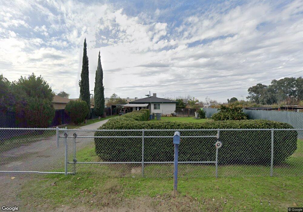
1934 S West Ave Fresno, CA 93706
Edison NeighborhoodEstimated Value: $261,319 - $312,000
3
Beds
1
Bath
1,063
Sq Ft
$275/Sq Ft
Est. Value
About This Home
This home is located at 1934 S West Ave, Fresno, CA 93706 and is currently estimated at $292,830, approximately $275 per square foot. 1934 S West Ave is a home located in Fresno County with nearby schools including Columbia Elementary School, Rutherford B. Gaston Sr. Middle, and Edison High School.
Ownership History
Date
Name
Owned For
Owner Type
Purchase Details
Closed on
Nov 21, 1996
Sold by
Lilian Edmonds
Bought by
Ayala Roberto and Ayala Donna
Current Estimated Value
Home Financials for this Owner
Home Financials are based on the most recent Mortgage that was taken out on this home.
Original Mortgage
$59,823
Interest Rate
7.63%
Mortgage Type
FHA
Purchase Details
Closed on
Oct 7, 1993
Sold by
Solwazi Kehinde and Solwazi Kemisole
Bought by
Mageo Suaalii M
Create a Home Valuation Report for This Property
The Home Valuation Report is an in-depth analysis detailing your home's value as well as a comparison with similar homes in the area
Home Values in the Area
Average Home Value in this Area
Purchase History
| Date | Buyer | Sale Price | Title Company |
|---|---|---|---|
| Ayala Roberto | $60,000 | Commonwealth Land Title Ins | |
| Mageo Suaalii M | -- | -- |
Source: Public Records
Mortgage History
| Date | Status | Borrower | Loan Amount |
|---|---|---|---|
| Previous Owner | Ayala Roberto | $59,823 | |
| Closed | Ayala Roberto | $2,528 |
Source: Public Records
Tax History Compared to Growth
Tax History
| Year | Tax Paid | Tax Assessment Tax Assessment Total Assessment is a certain percentage of the fair market value that is determined by local assessors to be the total taxable value of land and additions on the property. | Land | Improvement |
|---|---|---|---|---|
| 2025 | $2,500 | $89,546 | $16,273 | $73,273 |
| 2023 | $2,479 | $86,071 | $15,642 | $70,429 |
| 2022 | $1,013 | $84,385 | $15,336 | $69,049 |
| 2021 | $984 | $82,732 | $15,036 | $67,696 |
| 2020 | $978 | $81,884 | $14,882 | $67,002 |
| 2019 | $940 | $80,280 | $14,591 | $65,689 |
| 2018 | $918 | $78,706 | $14,305 | $64,401 |
| 2017 | $901 | $77,164 | $14,025 | $63,139 |
| 2016 | $870 | $75,651 | $13,750 | $61,901 |
| 2015 | $856 | $74,516 | $13,544 | $60,972 |
| 2014 | $836 | $73,057 | $13,279 | $59,778 |
Source: Public Records
Map
Nearby Homes
- 924 W Myers Ave
- 511 S Teilman Ave
- 0 Moc: Mission Ranch Unit 629384
- 50 S Hughes Ave
- 356 W Strother Ave
- 209 W Eden Ave
- 255 W Hawes Ave
- 119 W Eden Ave
- 0 Fresno St
- 75 E Florence Ave
- 23 E Strother Ave
- 87 E Florence Ave
- 90 E Geary St
- 78 E Geary St
- 66 E Geary St
- 1667 S Plumas St
- 106 W Church
- 84 E Geary St
- 54 E Kearney Blvd
- 5 E Oleander Ave
- 2002 S West Ave
- 2012 S West Ave
- 1244 W Woodward Ave
- 1838 S West Ave
- 1243 W Valencia Ave
- 1236 W Woodward Ave
- 1237 W Valencia Ave
- 1235 W Woodward Ave
- 1224 W Woodward Ave
- 1886 S West Ave
- 1320 W California Ave
- 1227 W Valencia Ave
- 1216 W Woodward Ave
- 1221 W Woodward Ave
- 1242 W California Ave
- 1217 W Valencia Ave
- 1244 W Valencia Ave
- 1326 W California Ave
- 1330 W California Ave
- 1211 W Woodward Ave