19340 Robert Walker Rd Citronelle, AL 36522
Estimated Value: $251,000 - $419,000
3
Beds
3
Baths
2,712
Sq Ft
$133/Sq Ft
Est. Value
About This Home
This home is located at 19340 Robert Walker Rd, Citronelle, AL 36522 and is currently estimated at $360,958, approximately $133 per square foot. 19340 Robert Walker Rd is a home located in Mobile County with nearby schools including McDavid-Jones Elementary School, Lott Middle School, and Citronelle High School.
Ownership History
Date
Name
Owned For
Owner Type
Purchase Details
Closed on
Jan 13, 2014
Sold by
Crim Sheila Ann and Nell Lawrence Hayes
Bought by
Morrow Justin and Morrow Annie
Current Estimated Value
Purchase Details
Closed on
Dec 19, 2000
Sold by
Jackson Deryck and Jackson Theresa
Bought by
Morrow Justin L and Morrow Annie J
Home Financials for this Owner
Home Financials are based on the most recent Mortgage that was taken out on this home.
Original Mortgage
$187,200
Outstanding Balance
$69,531
Interest Rate
7.81%
Estimated Equity
$291,427
Create a Home Valuation Report for This Property
The Home Valuation Report is an in-depth analysis detailing your home's value as well as a comparison with similar homes in the area
Home Values in the Area
Average Home Value in this Area
Purchase History
| Date | Buyer | Sale Price | Title Company |
|---|---|---|---|
| Morrow Justin | $58,000 | None Available | |
| Morrow Justin L | -- | -- |
Source: Public Records
Mortgage History
| Date | Status | Borrower | Loan Amount |
|---|---|---|---|
| Open | Morrow Justin L | $187,200 |
Source: Public Records
Tax History Compared to Growth
Tax History
| Year | Tax Paid | Tax Assessment Tax Assessment Total Assessment is a certain percentage of the fair market value that is determined by local assessors to be the total taxable value of land and additions on the property. | Land | Improvement |
|---|---|---|---|---|
| 2024 | $1,086 | $23,710 | $5,320 | $18,390 |
| 2023 | $1,044 | $22,840 | $5,230 | $17,610 |
| 2022 | $1,012 | $22,190 | $5,080 | $17,110 |
| 2021 | $948 | $20,870 | $3,280 | $17,590 |
| 2020 | $932 | $20,540 | $3,280 | $17,260 |
| 2019 | $871 | $19,290 | $3,280 | $16,010 |
| 2018 | $882 | $19,520 | $0 | $0 |
| 2017 | $923 | $20,360 | $0 | $0 |
| 2016 | $931 | $20,520 | $0 | $0 |
| 2013 | $866 | $18,800 | $0 | $0 |
Source: Public Records
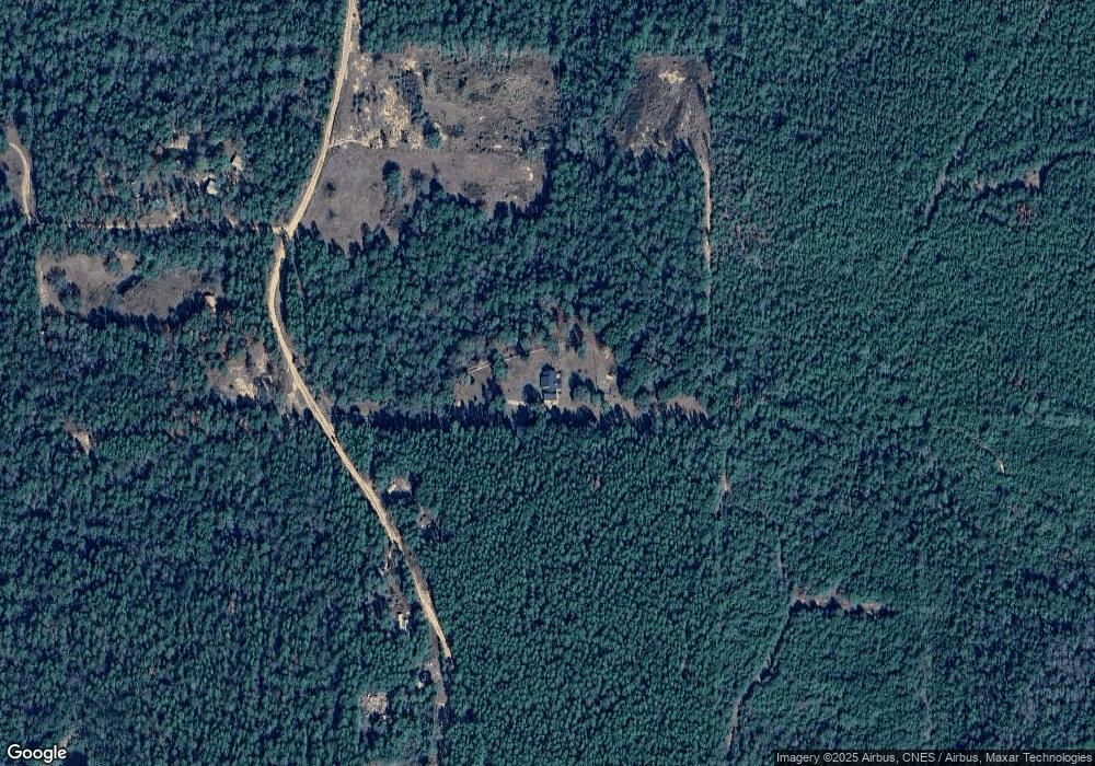
Map
Nearby Homes
- 19335 Robert Walker Rd
- 0 Robert Walker Rd
- 00000 Beverly Jeffries Hwy
- 11135 Hickory Ct
- 0 Dogwood Dr Unit LOT 2 10608062
- 0 Dogwood Dr Unit 7179557
- 10645 Dogwood Dr
- 10835 Mitt Dr
- 0 Wilson Dr Unit 7179706
- 8770 State St
- 8800 W Williams St
- 18280 S 6th St
- 19645 N 5th St
- 8520 W Lebaron Ave
- 0 Reed Rd
- 19850 N 5th St
- 8525 South St
- 12950 Beverly Jeffries Hwy
- 19665 N 4th St
- 19747 N 4th St
- 19375 Robert Walker Rd
- 0 Paul's Ln
- 19500 Robert Walker Rd
- 10905 Pauls Ln
- 19540 Robert Walker Rd
- 19000 Robert Walker Rd
- 10865 Paul's Ln
- 19600 Robert Walker Rd
- 19610 Robert Walker Rd
- 19675 Robert Walker Rd
- 10825 Beverly Jeffries Hwy
- 10250 Anderson Rd
- 10355 Anderson Rd
- 19940 Robert Walker Rd
- 10875 Beverly Jeffries Hwy
- 10100 Roussert Rd
- 0 Anderson Rd
- 11610 Beverly Jeffries Hwy