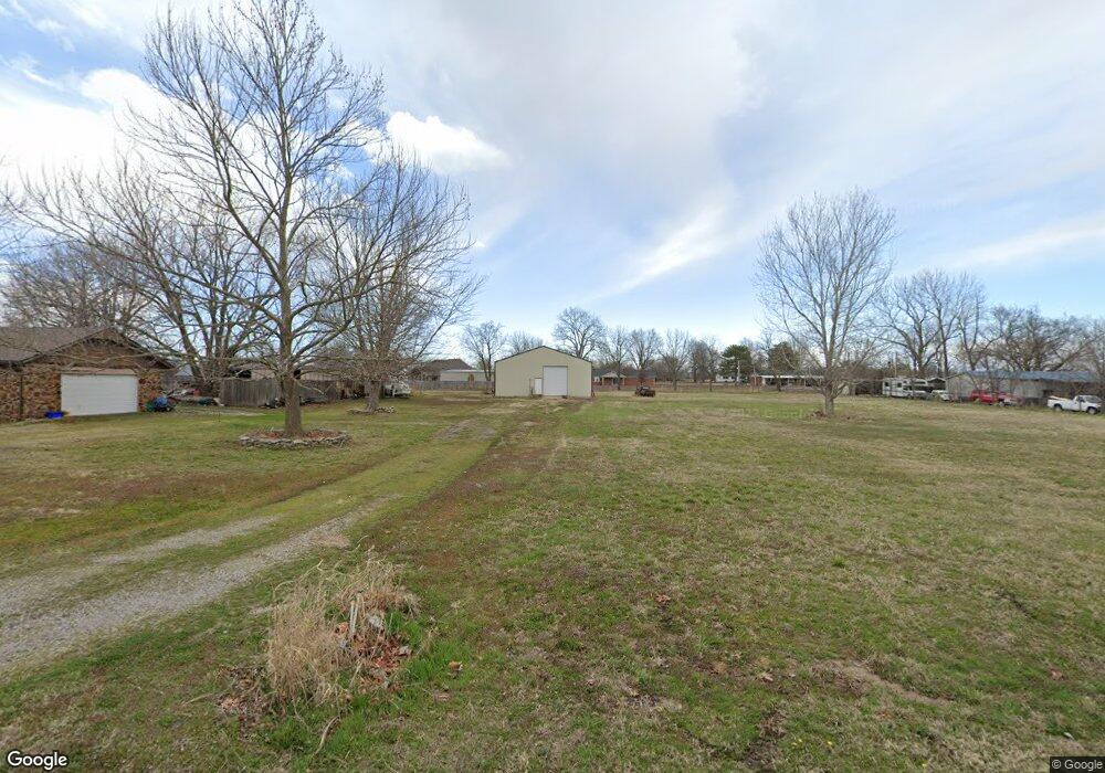
19345 E 484 Rd Owasso, OK 74055
Estimated Value: $292,563 - $321,000
3
Beds
2
Baths
1,513
Sq Ft
$201/Sq Ft
Est. Value
About This Home
This home is located at 19345 E 484 Rd, Owasso, OK 74055 and is currently estimated at $304,641, approximately $201 per square foot. 19345 E 484 Rd is a home located in Rogers County with nearby schools including Pamela Hodson Elementary School, Owasso 6th Grade Center, and Owasso 8th Grade Center.
Ownership History
Date
Name
Owned For
Owner Type
Purchase Details
Closed on
Mar 17, 2023
Sold by
Thorpe Alma Joe
Bought by
Musante Nicholas
Current Estimated Value
Home Financials for this Owner
Home Financials are based on the most recent Mortgage that was taken out on this home.
Original Mortgage
$251,750
Outstanding Balance
$242,682
Interest Rate
6.12%
Mortgage Type
New Conventional
Estimated Equity
$61,959
Purchase Details
Closed on
Jun 7, 2005
Sold by
Mullins Robert L and Mullins Robert Lee
Bought by
Thorpe Alma Joe and Thorpe Guy M
Home Financials for this Owner
Home Financials are based on the most recent Mortgage that was taken out on this home.
Original Mortgage
$25,001
Interest Rate
5.79%
Mortgage Type
Seller Take Back
Purchase Details
Closed on
Jun 18, 2004
Sold by
Martin Dannie Ray and Martin Ellen~M
Create a Home Valuation Report for This Property
The Home Valuation Report is an in-depth analysis detailing your home's value as well as a comparison with similar homes in the area
Purchase History
| Date | Buyer | Sale Price | Title Company |
|---|---|---|---|
| Musante Nicholas | $265,000 | -- | |
| Thorpe Alma Joe | $125,500 | None Available | |
| -- | $87,000 | -- |
Source: Public Records
Mortgage History
| Date | Status | Borrower | Loan Amount |
|---|---|---|---|
| Open | Musante Nicholas | $251,750 | |
| Previous Owner | Thorpe Alma Joe | $25,001 |
Source: Public Records
Map
Nearby Homes
- 0 N 193rd East Ave Unit 2609599
- 12012 N 193rd East Ave
- 18818 E Bridgewater Place
- 20624 S Brentwood Ave
- 20644 S Brentwood Ave
- 20801 S Brentwood Ave
- 20706 S Concord Ave
- 20823 S Concord Ave
- 0 E 106th St N Unit 2543814
- 0 E 106th St N Unit 2546711
- 4728 E Hwy 20
- 19000 E Knightsbridge Rd
- 5225 E Norwood St
- 20903 S Richmond Ave
- 5207 E Brookhaven St
- 18509 E 100th St N
- 10653 N 177th Ave E
- 20924 S Windsor Ave
- 19715 E Clear Brook Rd
- 12325 Nightes Ave
- 4155 E 484 Rd
- 19360 E 483 Rd
- 4154 E 483 Rd
- 4198 E 483 Rd
- 4156 E 484 Rd
- 5820 N River Birch Rd
- 4090 E 483 Rd
- 19314 E 483 Rd
- 4155 E 483 Rd
- 19310 E 484 Rd
- 4078 E 484 Rd
- 4099 E 483 Rd
- 4032 E 483 Rd
- 19304 E 483 Rd
- 4031 E 484 Rd
- 19320 E 113th St N
- 4051 E 483 Rd
- 11015 N 193rd East Ave
- 4219 E 483 Rd
- 4368 E 483 Rd
Your Personal Tour Guide
Ask me questions while you tour the home.