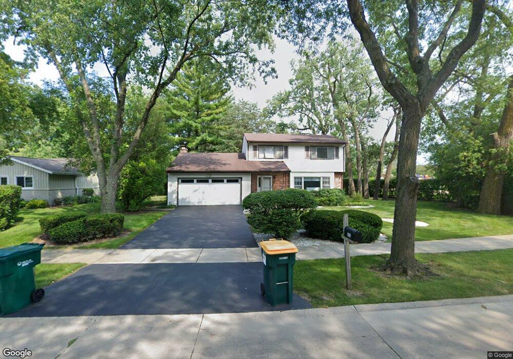
1935 Birch Rd Northbrook, IL 60062
Estimated Value: $740,000 - $805,142
4
Beds
3
Baths
1,751
Sq Ft
$435/Sq Ft
Est. Value
About This Home
This home is located at 1935 Birch Rd, Northbrook, IL 60062 and is currently estimated at $761,786, approximately $435 per square foot. 1935 Birch Rd is a home located in Cook County with nearby schools including Wescott Elementary School, Maple School, and Glenbrook North High School.
Ownership History
Date
Name
Owned For
Owner Type
Purchase Details
Closed on
May 13, 2022
Sold by
Joel H Wayne Trust
Bought by
Elaine D Wayne Living Trust
Current Estimated Value
Purchase Details
Closed on
Jun 14, 2013
Sold by
Horwitz Seymour
Bought by
Wayne Elaine D and Elaine D Wayne Trust
Create a Home Valuation Report for This Property
The Home Valuation Report is an in-depth analysis detailing your home's value as well as a comparison with similar homes in the area
Home Values in the Area
Average Home Value in this Area
Purchase History
| Date | Buyer | Sale Price | Title Company |
|---|---|---|---|
| Elaine D Wayne Living Trust | -- | None Listed On Document | |
| Wayne Elaine D | -- | None Available |
Source: Public Records
Tax History
| Year | Tax Paid | Tax Assessment Tax Assessment Total Assessment is a certain percentage of the fair market value that is determined by local assessors to be the total taxable value of land and additions on the property. | Land | Improvement |
|---|---|---|---|---|
| 2025 | $12,052 | $64,001 | $22,412 | $41,589 |
| 2024 | $12,052 | $55,875 | $22,412 | $33,463 |
| 2023 | $11,680 | $56,959 | $22,412 | $34,547 |
| 2022 | $11,680 | $56,959 | $22,412 | $34,547 |
| 2021 | $11,515 | $50,332 | $19,423 | $30,909 |
| 2020 | $11,506 | $50,332 | $19,423 | $30,909 |
| 2019 | $11,067 | $55,310 | $19,423 | $35,887 |
| 2018 | $10,296 | $48,367 | $17,182 | $31,185 |
| 2017 | $10,110 | $48,367 | $17,182 | $31,185 |
| 2016 | $10,234 | $51,869 | $17,182 | $34,687 |
| 2015 | $9,282 | $43,260 | $14,193 | $29,067 |
| 2014 | $9,072 | $43,260 | $14,193 | $29,067 |
| 2013 | $8,932 | $43,260 | $14,193 | $29,067 |
Source: Public Records
Map
Nearby Homes
- 1943 Sunnyside Cir
- 250 Violet Ln
- 240 Violet Ln
- 3075 Keystone Rd
- 2329 Illinois Rd
- 2347 Oak Ave
- 2335 Maple Ave
- 3005 Highland Rd
- 1904 Somerset Ln Unit 48
- 1341 Pfingsten Rd
- 1331 Pfingsten Rd
- 3263 Doriann Dr
- 3293 Doriann Dr
- 1817 Somerset Ln Unit 24
- 2419 Center Ave
- 2571 Essex Dr
- 2090 Shermer Rd
- 2117 Illinois Rd
- 1772 Lancaster Way
- 2050 Valencia Dr Unit 300C
- 1929 Birch Rd
- 2645 Mulberry Ln
- 1944 Birch Rd
- 1938 Birch Rd
- 2639 Mulberry Ln
- 1926 Birch Rd Unit 3
- 2648 Mulberry Ln
- 2631 Mulberry Ln
- 1925 Birch Rd
- 1922 Birch Rd
- 2625 Mulberry Ln
- 2632 Mulberry Ln
- 1916 Birch Rd
- 1949 Sunnyside Cir
- 1937 Sunnyside Cir
- 2626 Mulberry Ln
- 2619 Mulberry Ln
- 1910 Birch Rd
- 1931 Sunnyside Cir
- 1965 Pfingsten Rd
Your Personal Tour Guide
Ask me questions while you tour the home.