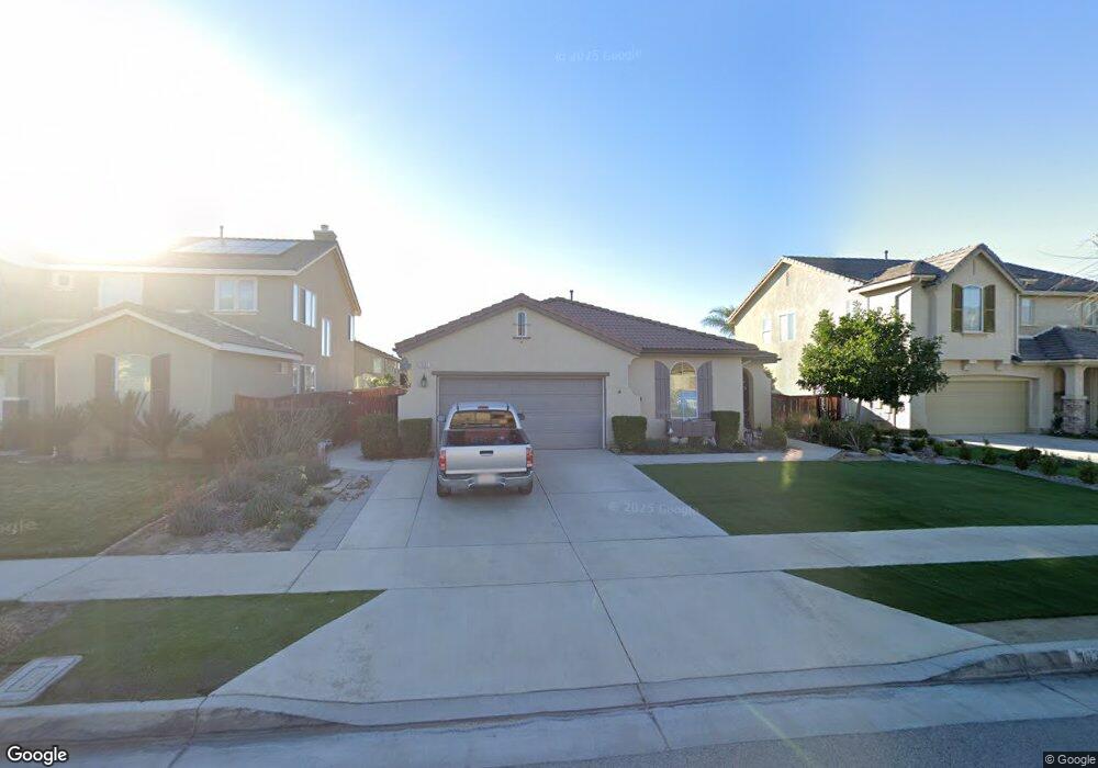
1935 Colorado St Redlands, CA 92374
North Redlands NeighborhoodEstimated Value: $674,957 - $772,000
4
Beds
2
Baths
2,401
Sq Ft
$306/Sq Ft
Est. Value
About This Home
This home is located at 1935 Colorado St, Redlands, CA 92374 and is currently estimated at $735,239, approximately $306 per square foot. 1935 Colorado St is a home located in San Bernardino County with nearby schools including Lugonia Elementary School, Clement Middle School, and Citrus Valley High School.
Ownership History
Date
Name
Owned For
Owner Type
Purchase Details
Closed on
Feb 18, 2020
Sold by
Petralia Mary C and Mattei Lisa A
Bought by
Petralia Mary C and Petralia Lisa A
Current Estimated Value
Purchase Details
Closed on
Oct 14, 2008
Sold by
Petralia Vincent and Petralia Mary
Bought by
Petralia Vincent and Petralia Mary
Home Financials for this Owner
Home Financials are based on the most recent Mortgage that was taken out on this home.
Original Mortgage
$570,000
Outstanding Balance
$311,738
Interest Rate
3%
Mortgage Type
Reverse Mortgage Home Equity Conversion Mortgage
Estimated Equity
$423,501
Purchase Details
Closed on
Jul 15, 2008
Sold by
Beazer Homes Holding Corp
Bought by
Petralia Vincent and Petralia Mary
Home Financials for this Owner
Home Financials are based on the most recent Mortgage that was taken out on this home.
Original Mortgage
$245,000
Interest Rate
6.51%
Mortgage Type
New Conventional
Create a Home Valuation Report for This Property
The Home Valuation Report is an in-depth analysis detailing your home's value as well as a comparison with similar homes in the area
Home Values in the Area
Average Home Value in this Area
Purchase History
| Date | Buyer | Sale Price | Title Company |
|---|---|---|---|
| Petralia Mary C | -- | None Available | |
| Petralia Vincent | -- | Placer Title Company | |
| Petralia Vincent | $381,000 | Fidelity National Title Co |
Source: Public Records
Mortgage History
| Date | Status | Borrower | Loan Amount |
|---|---|---|---|
| Open | Petralia Vincent | $570,000 | |
| Previous Owner | Petralia Vincent | $245,000 |
Source: Public Records
Tax History Compared to Growth
Tax History
| Year | Tax Paid | Tax Assessment Tax Assessment Total Assessment is a certain percentage of the fair market value that is determined by local assessors to be the total taxable value of land and additions on the property. | Land | Improvement |
|---|---|---|---|---|
| 2025 | $5,611 | $490,379 | $103,022 | $387,357 |
| 2024 | $5,611 | $480,764 | $101,002 | $379,762 |
| 2023 | $5,603 | $471,338 | $99,022 | $372,316 |
| 2022 | $5,520 | $462,096 | $97,080 | $365,016 |
| 2021 | $5,619 | $453,035 | $95,176 | $357,859 |
| 2020 | $5,535 | $448,390 | $94,200 | $354,190 |
| 2019 | $5,378 | $439,598 | $92,353 | $347,245 |
| 2018 | $5,242 | $430,978 | $90,542 | $340,436 |
| 2017 | $5,196 | $422,528 | $88,767 | $333,761 |
| 2016 | $4,958 | $414,242 | $87,025 | $327,217 |
| 2015 | $4,958 | $397,000 | $119,000 | $278,000 |
| 2014 | $4,435 | $390,000 | $117,000 | $273,000 |
Source: Public Records
Map
Nearby Homes
- 420 Deodar St
- 1845 Furlow Dr
- 325 Deodar St
- 2050 Furlow Dr
- 140 W Pioneer Ave Unit 76
- 402 Baldwin Ave
- 1909 Crystal Cove Ct
- 1734 Orange St
- 1636 Webster St
- 874 Royal Knight Trail
- 1808 Cave St
- 2036 Tangelo Ln
- 2040 Tangelo Ln
- 2046 Tangelo Ln
- 2037 Tangelo Ln
- 2049 Tangelo Ln
- 2036 Meyer Ln
- 2063 Meyer Ln
- 2040 Meyer Ln
- 2052 Meyer Ln
- 1925 Colorado St
- 1945 Colorado St
- 1915 Colorado St
- 1955 Colorado St
- 1930 Furlow Dr
- 1940 Furlow Dr
- 1920 Furlow Dr
- 1950 Furlow Dr
- 1910 Furlow Dr
- 1905 Colorado St
- 1965 Colorado St
- 1930 Colorado St
- 1940 Colorado St
- 1920 Colorado St
- 1900 Furlow Dr
- 1950 Colorado St
- 1895 Colorado St
- 1910 Colorado St
- 1975 Colorado St
- 1970 Furlow Dr