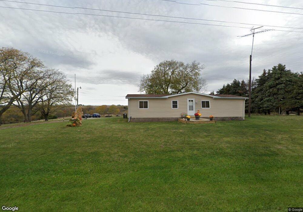
1935 Corning Carl Rd Corning, IA 50841
--
Bed
--
Bath
--
Sq Ft
--
Built
About This Home
This home is located at 1935 Corning Carl Rd, Corning, IA 50841. 1935 Corning Carl Rd is a home located in Adams County.
Create a Home Valuation Report for This Property
The Home Valuation Report is an in-depth analysis detailing your home's value as well as a comparison with similar homes in the area
Tax History
| Year | Tax Paid | Tax Assessment Tax Assessment Total Assessment is a certain percentage of the fair market value that is determined by local assessors to be the total taxable value of land and additions on the property. | Land | Improvement |
|---|---|---|---|---|
| 2025 | $1,684 | $152,100 | $45,000 | $107,100 |
| 2024 | $1,684 | $156,800 | $45,000 | $111,800 |
| 2023 | $1,722 | $156,800 | $45,000 | $111,800 |
| 2022 | $1,352 | $138,000 | $45,000 | $93,000 |
| 2021 | $1,310 | $92,546 | $11,540 | $81,006 |
| 2020 | $1,404 | $92,546 | $11,540 | $81,006 |
| 2019 | $1,404 | $92,546 | $0 | $0 |
| 2018 | $1,362 | $92,546 | $0 | $0 |
| 2017 | $1,386 | $92,546 | $0 | $0 |
| 2016 | $1,306 | $92,546 | $0 | $0 |
| 2015 | $1,074 | $77,122 | $0 | $0 |
| 2014 | $326 | $31,569 | $0 | $0 |
Source: Public Records
Map
Nearby Homes
- 73.80 Acres Adams County Iowa
- 87.20 Acres Adams County Iowa
- 1703 East St
- 601 15th St
- 1403 Benton Ave
- 1303 Benton Ave
- 1207 Grove Ave
- 300 9th St
- 808 Adams St
- 806 11th St
- 907 Nodaway St
- 58.34 Acres Quincy Township
- 1 US Hwy 34
- 1017 9th St Unit 160 Grove Add
- 1003 6th St
- 1110 8th St
- 604 Terrace Hill Dr
- 801 Sunset Dr
- 901 Timber Ln Unit B
- 000 Holly Ln
Your Personal Tour Guide
Ask me questions while you tour the home.