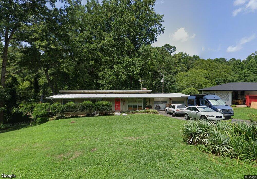
1935 E Lake Dr Marietta, GA 30066
Northwestern Marietta NeighborhoodEstimated Value: $321,000 - $336,167
2
Beds
1
Bath
1,400
Sq Ft
$234/Sq Ft
Est. Value
About This Home
This home is located at 1935 E Lake Dr, Marietta, GA 30066 and is currently estimated at $327,792, approximately $234 per square foot. 1935 E Lake Dr is a home located in Cobb County with nearby schools including Kincaid Elementary School, Daniell Middle School, and Sprayberry High School.
Ownership History
Date
Name
Owned For
Owner Type
Purchase Details
Closed on
Aug 8, 2005
Sold by
Baumann Virginia C
Bought by
Sheffield Matthew M
Current Estimated Value
Home Financials for this Owner
Home Financials are based on the most recent Mortgage that was taken out on this home.
Original Mortgage
$105,620
Outstanding Balance
$53,236
Interest Rate
5.13%
Mortgage Type
New Conventional
Estimated Equity
$274,556
Purchase Details
Closed on
Oct 20, 2004
Sold by
Baumann David J
Bought by
Baumann Virginia C
Create a Home Valuation Report for This Property
The Home Valuation Report is an in-depth analysis detailing your home's value as well as a comparison with similar homes in the area
Home Values in the Area
Average Home Value in this Area
Purchase History
| Date | Buyer | Sale Price | Title Company |
|---|---|---|---|
| Sheffield Matthew M | $132,100 | -- | |
| Baumann Virginia C | -- | -- |
Source: Public Records
Mortgage History
| Date | Status | Borrower | Loan Amount |
|---|---|---|---|
| Open | Sheffield Matthew M | $105,620 |
Source: Public Records
Tax History Compared to Growth
Tax History
| Year | Tax Paid | Tax Assessment Tax Assessment Total Assessment is a certain percentage of the fair market value that is determined by local assessors to be the total taxable value of land and additions on the property. | Land | Improvement |
|---|---|---|---|---|
| 2025 | $2,544 | $109,252 | $78,756 | $30,496 |
| 2024 | $2,546 | $109,252 | $78,756 | $30,496 |
| 2023 | $1,972 | $107,800 | $78,756 | $29,044 |
| 2022 | $2,182 | $91,692 | $62,648 | $29,044 |
| 2021 | $1,786 | $73,604 | $48,328 | $25,276 |
| 2020 | $1,551 | $62,864 | $37,588 | $25,276 |
| 2019 | $1,551 | $62,864 | $37,588 | $25,276 |
| 2018 | $1,352 | $53,792 | $30,428 | $23,364 |
| 2017 | $1,187 | $50,212 | $26,848 | $23,364 |
| 2016 | $1,188 | $50,212 | $26,848 | $23,364 |
| 2015 | $832 | $37,072 | $16,108 | $20,964 |
| 2014 | $839 | $37,072 | $0 | $0 |
Source: Public Records
Map
Nearby Homes
- 1931 Redfield Rd NE
- 1058 Boyd Rd
- 1854 Addison Rd NE
- 1386 Valmont Trace NE
- 0 Oland Cir Unit 10570943
- 1924 Wilkenson Crossing
- 1716 Chanson Place
- 0000 Oland Cir
- 1425 Rosewood Creek Dr
- 2201 Lessie Maude Dr
- 844 Kurtz Rd
- 1800 Chardin Way
- 1490 Longwing Ln
- 1368 Woodcutt Place
- 1387 Woodcutt Place
- 1100 Sallete Ct
- 1834 Butterfly Way
- 1834 Butterfly NE
- Robie Plan at The Village at Sandy Plains
- Harbor Plan at The Village at Sandy Plains
- 1921 E Lake Dr
- 1975 E Lake Dr
- 1937 New Kemp Rd
- 1917 New Kemp Rd
- 1977 E Lake Dr
- 1907 New Kemp Rd
- 1157 Boyd Rd
- 1970 Addison Rd NE
- 2001 E Lake Dr
- 2000 New Kemp Rd
- 1920 Addison Rd NE
- 1930 Addison Rd NE
- 1910 Addison Rd NE
- 1158 Boyd Rd
- 1950 New Kemp Rd
- 1946 New Kemp Rd
- 2003 E Lake Dr
- 1954 New Kemp Rd
- 1996 Addison Rd NE
- 1958 New Kemp Rd