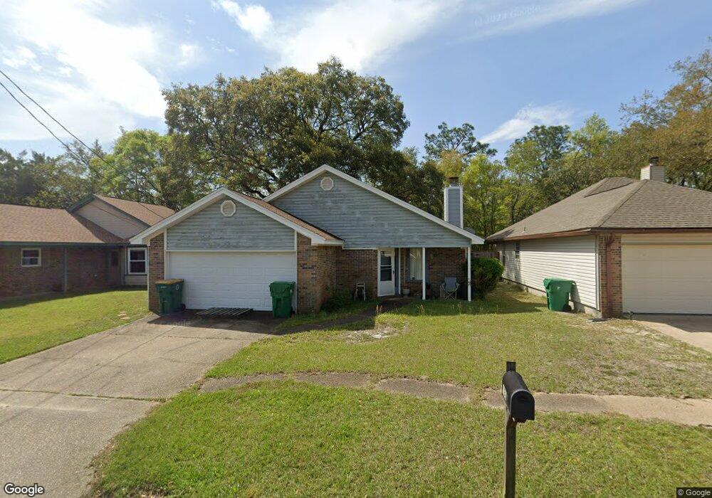
1935 Estival St Fort Walton Beach, FL 32547
Wright NeighborhoodEstimated Value: $287,000 - $362,000
3
Beds
2
Baths
1,308
Sq Ft
$241/Sq Ft
Est. Value
About This Home
This home is located at 1935 Estival St, Fort Walton Beach, FL 32547 and is currently estimated at $314,624, approximately $240 per square foot. 1935 Estival St is a home located in Okaloosa County with nearby schools including Longwood Elementary School, W.C. Pryor Middle School, and Choctawhatchee Senior High School.
Ownership History
Date
Name
Owned For
Owner Type
Purchase Details
Closed on
Oct 28, 2004
Sold by
Carroll Lana L and Carroll Richard A
Bought by
Cooper David L
Current Estimated Value
Home Financials for this Owner
Home Financials are based on the most recent Mortgage that was taken out on this home.
Original Mortgage
$124,000
Outstanding Balance
$58,641
Interest Rate
5%
Mortgage Type
New Conventional
Estimated Equity
$255,983
Purchase Details
Closed on
Jun 9, 2000
Sold by
Levreault Michael R
Bought by
Cartledge Lana L
Create a Home Valuation Report for This Property
The Home Valuation Report is an in-depth analysis detailing your home's value as well as a comparison with similar homes in the area
Home Values in the Area
Average Home Value in this Area
Purchase History
| Date | Buyer | Sale Price | Title Company |
|---|---|---|---|
| Cooper David L | $155,000 | Old South Land Title | |
| Cartledge Lana L | $85,000 | Twin Cities Land Title Inc |
Source: Public Records
Mortgage History
| Date | Status | Borrower | Loan Amount |
|---|---|---|---|
| Open | Cooper David L | $124,000 | |
| Closed | Cooper David L | $23,250 |
Source: Public Records
Tax History Compared to Growth
Tax History
| Year | Tax Paid | Tax Assessment Tax Assessment Total Assessment is a certain percentage of the fair market value that is determined by local assessors to be the total taxable value of land and additions on the property. | Land | Improvement |
|---|---|---|---|---|
| 2024 | -- | $227,341 | -- | -- |
| 2023 | $0 | $220,719 | $0 | $0 |
| 2022 | $0 | $214,290 | $56,652 | $157,638 |
| 2021 | $2,147 | $168,348 | $42,151 | $126,197 |
| 2020 | $1,953 | $150,820 | $41,321 | $109,499 |
| 2019 | $1,857 | $141,555 | $39,353 | $102,202 |
| 2018 | $1,760 | $132,557 | $0 | $0 |
| 2017 | $1,703 | $127,698 | $0 | $0 |
| 2016 | $1,607 | $121,286 | $0 | $0 |
| 2015 | $1,540 | $114,546 | $0 | $0 |
| 2014 | $1,480 | $109,937 | $0 | $0 |
Source: Public Records
Map
Nearby Homes
- 1100 Crosswinds Landing Unit 14
- 1100 Crosswinds Landing Unit 19
- 1100 Crosswinds Landing Unit 21
- 1602 Mariah Way E
- 1810 Scirocco Loop
- 1905 Mistral Ln W
- 1845 Pointed Leaf Ln
- 1832 Pointed Leaf Ln
- 1942 Woodcrest Ridge Unit 2
- 1329 White Blossom Ln
- 1864 Whispering Oaks Ln
- 1956 Woodcrest Ridge
- 1765 Old Ranch Rd
- 1832 Whispering Oaks Ln
- 1961 Chesapeake Ridge
- 1819 Stable Ln
- 1028 Mclaren Cir
- 606 Lee St
- 0 Brooks Ave
- 850 Holbrook Cir
- 1937 Estival St
- 1933 Estival St
- 1939 Estival St
- 1931 Estival St
- 1936 Estival St
- 1932 Estival St
- 1934 Estival St
- 1938 Estival St
- 1929 Estival St
- 0 Estival St
- 1940 Estival St
- 1342 N Beal Extension
- 1927 Estival St
- 1904 Estival St
- 1925 Estival St
- 1906 Estival St
- 1902 Estival St
- 228 Schneider Dr
- 1908 Estival St
- 1923 Estival St