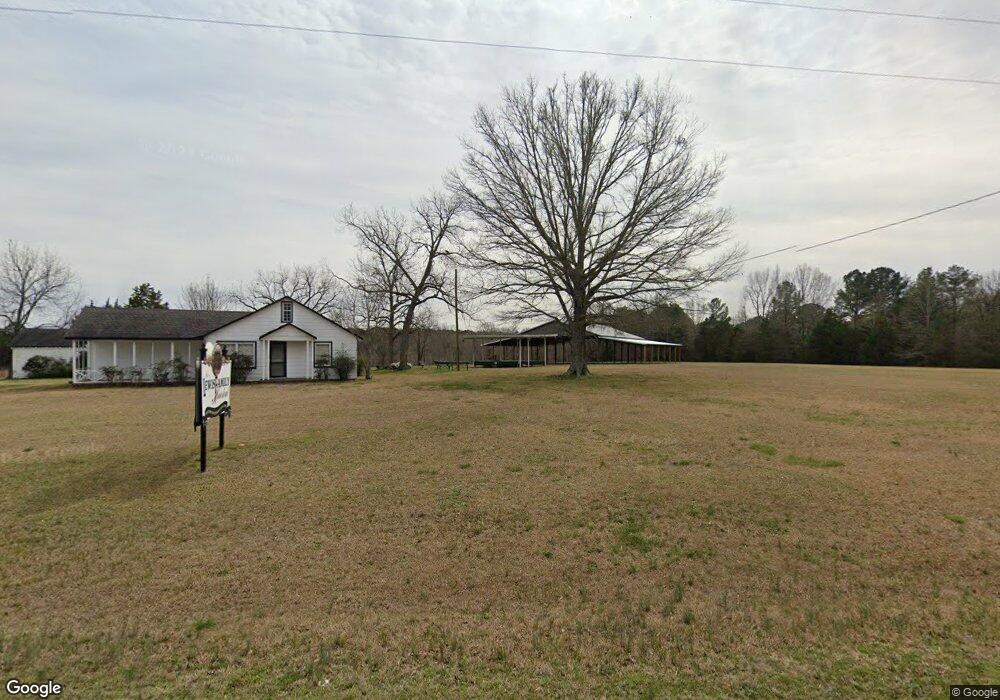
1935 Lewis Family Rd Lincolnton, GA 30817
Estimated Value: $290,000 - $314,061
3
Beds
2
Baths
1,457
Sq Ft
$207/Sq Ft
Est. Value
About This Home
This home is located at 1935 Lewis Family Rd, Lincolnton, GA 30817 and is currently estimated at $302,031, approximately $207 per square foot. 1935 Lewis Family Rd is a home with nearby schools including Lincoln County Elementary School, Lincoln County Middle School, and Lincoln County High School.
Ownership History
Date
Name
Owned For
Owner Type
Purchase Details
Closed on
Jan 21, 2025
Sold by
Easter Amos J
Bought by
Smith Landan C and Smith Morgan E
Current Estimated Value
Home Financials for this Owner
Home Financials are based on the most recent Mortgage that was taken out on this home.
Original Mortgage
$253,794
Outstanding Balance
$65,083
Interest Rate
6.85%
Mortgage Type
New Conventional
Estimated Equity
$236,948
Purchase Details
Closed on
Sep 2, 2004
Sold by
Ed-Will Enterprises Inc
Bought by
Easter Amos J and Easter Sheri W
Purchase Details
Closed on
May 18, 1990
Sold by
Lewis Lewis N and Lewis
Bought by
Ed-Will Enterprises Inc
Purchase Details
Closed on
Aug 26, 1985
Sold by
Lewis Roy
Bought by
Lewis Blanche Pauline
Purchase Details
Closed on
Mar 8, 1935
Bought by
Lewis Roy
Create a Home Valuation Report for This Property
The Home Valuation Report is an in-depth analysis detailing your home's value as well as a comparison with similar homes in the area
Home Values in the Area
Average Home Value in this Area
Purchase History
| Date | Buyer | Sale Price | Title Company |
|---|---|---|---|
| Smith Landan C | -- | -- | |
| Easter Amos J | $187,600 | -- | |
| Ed-Will Enterprises Inc | $45,000 | -- | |
| Lewis Lewis N | -- | -- | |
| Lewis Blanche Pauline | -- | -- | |
| Lewis Roy | $900 | -- |
Source: Public Records
Mortgage History
| Date | Status | Borrower | Loan Amount |
|---|---|---|---|
| Open | Smith Landan C | $253,794 |
Source: Public Records
Tax History Compared to Growth
Tax History
| Year | Tax Paid | Tax Assessment Tax Assessment Total Assessment is a certain percentage of the fair market value that is determined by local assessors to be the total taxable value of land and additions on the property. | Land | Improvement |
|---|---|---|---|---|
| 2025 | $1,379 | $84,320 | $56,960 | $27,360 |
| 2024 | $1,341 | $77,160 | $50,960 | $26,200 |
| 2023 | $1,822 | $69,280 | $45,520 | $23,760 |
| 2022 | $1,095 | $67,320 | $50,800 | $16,520 |
| 2021 | $1,115 | $58,400 | $43,680 | $14,720 |
| 2020 | $1,187 | $55,320 | $42,440 | $12,880 |
| 2019 | $1,176 | $55,320 | $42,440 | $12,880 |
| 2018 | $1,739 | $55,320 | $42,440 | $12,880 |
| 2017 | $2,375 | $75,560 | $60,240 | $15,320 |
| 2016 | $1,094 | $15,320 | $0 | $15,320 |
| 2015 | -- | $75,560 | $60,240 | $15,320 |
| 2014 | -- | $73,000 | $60,240 | $12,760 |
| 2013 | -- | $66,120 | $60,240 | $5,880 |
Source: Public Records
Map
Nearby Homes
- 000 Georgia 220
- 0 Georgia 220 Unit TRACT B 10468309
- 0 Georgia 220 Unit TRACT A 10468318
- 0 Ga-220 Unit 541923
- 0 Hwy 220 Tract A
- 1460 Leathersville Rd
- 0 Crook Rd Unit 10643680
- 280 May Ave
- 1987 Crook Rd
- Na Metasville Rd
- Lot 32 Eagle Point
- 168 Watson Street Extension
- 125 Elm St
- 0 Watson St
- 168 Ext Watson St
- 118 Humphrey St
- 125 Goshen St
- 202 Goshen St
- 570 Wallace-Wells Cir
- 00 Crook Rd
- 1975 Lewis Family Rd
- 1978 Lewis Family Rd
- 1980 Lewis Family Rd
- 1979 Lewis Family Rd
- 1979 Lewis Family Rd
- 1983 Lewis Family Rd
- 2001 Lewis Family Rd
- 1380 Mercier Rd
- 2063 Lewis Family Rd
- 2082 Lewis Family Rd
- 1483 Mercier Rd
- 0 Mercier Rd Unit 22371395
- 0 Mercier Rd Unit 248227
- 0 Mercier Rd Unit 533506
- 0 Mercier Rd Unit 339920
- 0 Mercier Rd Unit 368809
- 1855 Washington Hwy
- 1755 Washington Hwy
- 1597 Mercier Rd