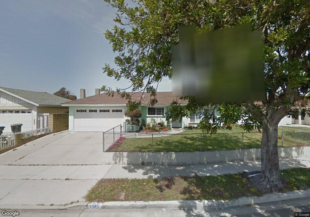
1935 Macarthur Place Oxnard, CA 93033
Lemonwood Eastmont NeighborhoodEstimated Value: $693,687 - $793,000
4
Beds
2
Baths
1,615
Sq Ft
$463/Sq Ft
Est. Value
About This Home
This home is located at 1935 Macarthur Place, Oxnard, CA 93033 and is currently estimated at $747,172, approximately $462 per square foot. 1935 Macarthur Place is a home located in Ventura County with nearby schools including Lemonwood Elementary School, R.J. Frank Academy of Marine Science & Engineering, and Santa Clara High School.
Ownership History
Date
Name
Owned For
Owner Type
Purchase Details
Closed on
Jul 17, 2023
Sold by
Edejer Napoleon M
Bought by
Edejer Family Trust and Edejer
Current Estimated Value
Purchase Details
Closed on
Mar 5, 1999
Sold by
Edejer Norman M
Bought by
Edejer Napoleon M
Home Financials for this Owner
Home Financials are based on the most recent Mortgage that was taken out on this home.
Original Mortgage
$127,000
Interest Rate
6.73%
Create a Home Valuation Report for This Property
The Home Valuation Report is an in-depth analysis detailing your home's value as well as a comparison with similar homes in the area
Home Values in the Area
Average Home Value in this Area
Purchase History
| Date | Buyer | Sale Price | Title Company |
|---|---|---|---|
| Edejer Family Trust | -- | None Listed On Document | |
| Edejer Napoleon M | $63,500 | Fidelity National Title Co | |
| Edejer Napoleon M | -- | Fidelity National Title Co |
Source: Public Records
Mortgage History
| Date | Status | Borrower | Loan Amount |
|---|---|---|---|
| Previous Owner | Edejer Napoleon M | $127,000 |
Source: Public Records
Tax History
| Year | Tax Paid | Tax Assessment Tax Assessment Total Assessment is a certain percentage of the fair market value that is determined by local assessors to be the total taxable value of land and additions on the property. | Land | Improvement |
|---|---|---|---|---|
| 2025 | $3,571 | $291,992 | $116,793 | $175,199 |
| 2024 | $3,571 | $286,267 | $114,503 | $171,764 |
| 2023 | $1,496 | $280,654 | $112,257 | $168,397 |
| 2022 | $1,547 | $275,151 | $110,055 | $165,096 |
| 2021 | $1,529 | $269,756 | $107,897 | $161,859 |
| 2020 | $1,591 | $266,992 | $106,792 | $160,200 |
| 2019 | $1,560 | $261,758 | $104,699 | $157,059 |
| 2018 | $1,563 | $256,627 | $102,647 | $153,980 |
| 2017 | $6,850 | $251,596 | $100,635 | $150,961 |
| 2016 | $1,458 | $246,663 | $98,662 | $148,001 |
| 2015 | $1,463 | $242,960 | $97,181 | $145,779 |
| 2014 | $1,435 | $238,202 | $95,278 | $142,924 |
Source: Public Records
Map
Nearby Homes
- 1928 San Benito St
- 3700 Olds Rd Unit 86
- 1407 Peach Ave Unit 14
- 3130 Paula St
- 2151 E Wooley Rd
- 2117 Cardinal Ave Unit 2117h
- 2178 Thrush Ave Unit J
- 4032 Mockingbird Ln
- 3151 Fournier St
- 2177 Robin Ave Unit 2177A
- 860 Morro Way
- 1645 Lime Ave Unit 91
- 4200 Browning Dr
- 2400 E Pleasant Valley Rd Unit 108
- 4340 Highland Ave
- 4108 Ranchita Ln
- 3631 La Costa Place
- 360 Ibsen Place Unit 129
- 225 W Iris St
- 4160 Petit Dr Unit 39
- 1931 Macarthur Place
- 1941 Macarthur Place
- 1934 San Mateo Place
- 1940 San Mateo Place
- 1930 San Mateo Place
- 1945 Macarthur Place
- 2410 Beaufort Dr
- 1944 San Mateo Place
- 1936 Macarthur Place
- 1949 Macarthur Place
- 1950 San Mateo Place
- 2325 Beaufort Dr
- 2420 Beaufort Dr
- 2311 Beaufort Dr
- 2401 Beaufort Dr
- 2301 Beaufort Dr
- 2230 Beaufort Dr
- 1961 Macarthur Place
- 2231 Carnegie Ct
- 2411 Beaufort Dr
Your Personal Tour Guide
Ask me questions while you tour the home.