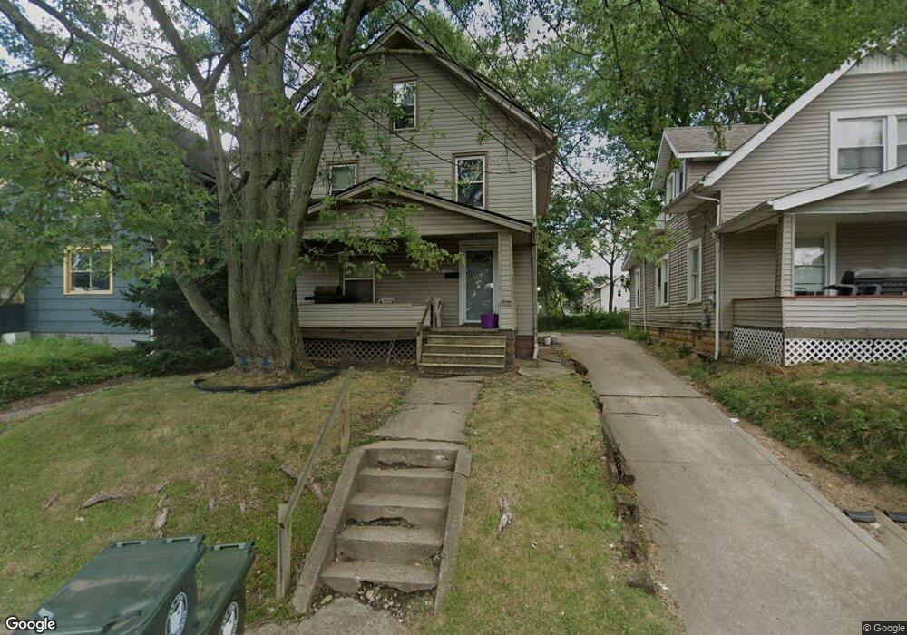
1935 Maple Ave NE Canton, OH 44714
Colonial Heights NeighborhoodEstimated Value: $84,000 - $111,000
3
Beds
1
Bath
1,296
Sq Ft
$77/Sq Ft
Est. Value
About This Home
This home is located at 1935 Maple Ave NE, Canton, OH 44714 and is currently estimated at $100,171, approximately $77 per square foot. 1935 Maple Ave NE is a home located in Stark County with nearby schools including Belle Stone Elementary School, Early Learning Center @ Schreiber, and Youtz Intermediate School.
Ownership History
Date
Name
Owned For
Owner Type
Purchase Details
Closed on
Aug 22, 1996
Sold by
Roush Joseph L
Bought by
Mcelroy Veronica Y and Mcelroy Lillie
Current Estimated Value
Home Financials for this Owner
Home Financials are based on the most recent Mortgage that was taken out on this home.
Original Mortgage
$36,600
Outstanding Balance
$2,960
Interest Rate
8.47%
Mortgage Type
FHA
Estimated Equity
$97,211
Purchase Details
Closed on
Jan 13, 1995
Sold by
Davala John M
Bought by
Roush Joseph L and Roush Denise
Home Financials for this Owner
Home Financials are based on the most recent Mortgage that was taken out on this home.
Original Mortgage
$32,106
Interest Rate
9.23%
Mortgage Type
FHA
Create a Home Valuation Report for This Property
The Home Valuation Report is an in-depth analysis detailing your home's value as well as a comparison with similar homes in the area
Home Values in the Area
Average Home Value in this Area
Purchase History
| Date | Buyer | Sale Price | Title Company |
|---|---|---|---|
| Mcelroy Veronica Y | $36,500 | -- | |
| Roush Joseph L | $31,800 | -- |
Source: Public Records
Mortgage History
| Date | Status | Borrower | Loan Amount |
|---|---|---|---|
| Open | Mcelroy Veronica Y | $36,600 | |
| Previous Owner | Roush Joseph L | $32,106 |
Source: Public Records
Tax History
| Year | Tax Paid | Tax Assessment Tax Assessment Total Assessment is a certain percentage of the fair market value that is determined by local assessors to be the total taxable value of land and additions on the property. | Land | Improvement |
|---|---|---|---|---|
| 2025 | -- | $28,040 | $6,860 | $21,180 |
| 2024 | -- | $28,040 | $6,860 | $21,180 |
| 2023 | $1,095 | $18,310 | $4,410 | $13,900 |
| 2022 | $1,065 | $18,310 | $4,410 | $13,900 |
| 2021 | $1,076 | $18,310 | $4,410 | $13,900 |
| 2020 | $952 | $14,490 | $3,570 | $10,920 |
| 2019 | $831 | $14,490 | $3,570 | $10,920 |
Source: Public Records
Map
Nearby Homes
- 1607 18th St NE
- 0 Dover Ave NE
- 2015 Gross Ave NE
- 1528 22nd St NE
- 1624 May Place NE
- 1416 19th St NE
- 1610 23rd St NE
- 2010 18th St NE
- 0 Rowland Ave NE Unit 5089960
- 1517 16th St NE
- 2111 21st St NE
- 1210 17th St NE
- 1610 Colonial Blvd NE
- 1218 24th St NE
- 1410 Colonial Blvd NE
- 2211 17th St NE
- 1716 Gibbs Ave NE
- 1805 Gibbs Ave NE
- 1022 19th St NE
- 2102 16th St NE
- 1937 Maple Ave NE
- 1931 Maple Ave NE
- 1939 Maple Ave NE
- 1634 20th St NE
- 1923 Maple Ave NE
- 1632 20th St NE
- 1919 Maple Ave NE
- 2005 Maple Ave NE
- 1928 Maple Ave NE
- 1924 Maple Ave NE
- 1630 20th St NE
- 1919 Widmer Ct NE
- 1920 Maple Ave NE
- 1643 20th St NE
- 2009 Maple Ave NE
- 2000 Maple Ave NE
- 1915 Widmer Ct NE
- 1628 20th St NE
- 1909 Widmer Ct NE
- 1633 20th St NE
Your Personal Tour Guide
Ask me questions while you tour the home.