1935 Pierce Rd Quincy, MI 49082
Estimated Value: $431,000 - $491,284
Studio
--
Bath
2,470
Sq Ft
$189/Sq Ft
Est. Value
About This Home
This home is located at 1935 Pierce Rd, Quincy, MI 49082 and is currently estimated at $466,095, approximately $188 per square foot. 1935 Pierce Rd is a home with nearby schools including Jennings Elementary School, Quincy Middle School, and Quincy High School.
Ownership History
Date
Name
Owned For
Owner Type
Purchase Details
Closed on
Jul 2, 2021
Sold by
Estrada Rolando Bonilla
Bought by
Dela Cruz Osdel Sarabia
Current Estimated Value
Purchase Details
Closed on
May 24, 2001
Sold by
Krymis August A and Krymis Marie D
Bought by
Deventer Brandon L and Deventer Tara S
Create a Home Valuation Report for This Property
The Home Valuation Report is an in-depth analysis detailing your home's value as well as a comparison with similar homes in the area
Purchase History
| Date | Buyer | Sale Price | Title Company |
|---|---|---|---|
| Dela Cruz Osdel Sarabia | $140,000 | None Available | |
| Deventer Brandon L | $125,000 | -- |
Source: Public Records
Tax History
| Year | Tax Paid | Tax Assessment Tax Assessment Total Assessment is a certain percentage of the fair market value that is determined by local assessors to be the total taxable value of land and additions on the property. | Land | Improvement |
|---|---|---|---|---|
| 2025 | $1,416 | $257,600 | $0 | $0 |
| 2024 | $14 | $248,300 | $0 | $0 |
| 2023 | $1,314 | $190,800 | $0 | $0 |
| 2022 | $3,289 | $171,700 | $0 | $0 |
| 2021 | $3,208 | $169,400 | $0 | $0 |
| 2020 | $3,208 | $170,900 | $0 | $0 |
| 2019 | $3,252 | $158,100 | $0 | $0 |
| 2018 | $3,134 | $149,800 | $0 | $0 |
| 2017 | $3,027 | $153,800 | $0 | $0 |
| 2016 | $2,259 | $39,800 | $0 | $0 |
| 2015 | $203 | $39,800 | $0 | $0 |
| 2013 | -- | $32,620 | $0 | $0 |
| 2012 | $192 | $30,740 | $0 | $0 |
Source: Public Records
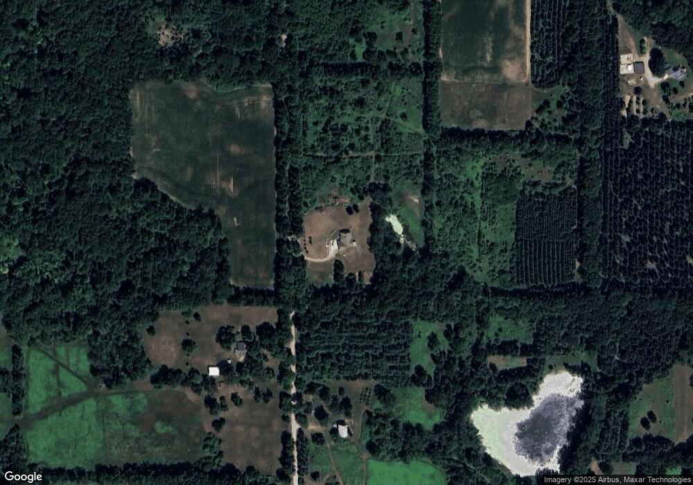
Map
Nearby Homes
- 1750 Pierce Rd
- 2408 Spruce Dr
- 9222 Beech Dr
- 8941 Kellogg Dr
- 9055 Kellogg Dr
- 9059 Kellogg Dr
- 9180 Arkansaw Rd
- 8875 Kellogg Dr
- 4111 Blair Rd
- 3870 Rus Dic Dr
- 0 Wildwood Rd
- 5100 Long Lake Rd
- 4380 Abbott Rd
- 5375 Paradise Dr
- 5211 Long Lake Rd
- 5339 Lake Dr
- 5482 Circle Dr
- 211 S Ray Quincy Rd
- 981 Generic Dr
- 944 Lukesport Rd
Your Personal Tour Guide
Ask me questions while you tour the home.