1935 Primrose Rd NE Sauk Rapids, MN 56379
Estimated Value: $710,000 - $736,754
4
Beds
5
Baths
4,610
Sq Ft
$157/Sq Ft
Est. Value
About This Home
This home is located at 1935 Primrose Rd NE, Sauk Rapids, MN 56379 and is currently estimated at $723,377, approximately $156 per square foot. 1935 Primrose Rd NE is a home located in Benton County with nearby schools including Foley Elementary School, Foley Intermediate Elementary School, and Foley Senior High School.
Ownership History
Date
Name
Owned For
Owner Type
Purchase Details
Closed on
Jan 3, 2017
Sold by
Richard L Bauerly & Helga J Bauerly Re
Bought by
Smith Christina L and Smith Danny W
Current Estimated Value
Purchase Details
Closed on
Mar 11, 2016
Sold by
Richard L Bauerly & Helga J Bauerly Re
Bought by
Richard L Bauerly & Helga J Bauerly Re
Create a Home Valuation Report for This Property
The Home Valuation Report is an in-depth analysis detailing your home's value as well as a comparison with similar homes in the area
Home Values in the Area
Average Home Value in this Area
Purchase History
| Date | Buyer | Sale Price | Title Company |
|---|---|---|---|
| Smith Christina L | -- | None Available | |
| Richard L Bauerly & Helga J Bauerly Re | -- | None Available |
Source: Public Records
Tax History Compared to Growth
Tax History
| Year | Tax Paid | Tax Assessment Tax Assessment Total Assessment is a certain percentage of the fair market value that is determined by local assessors to be the total taxable value of land and additions on the property. | Land | Improvement |
|---|---|---|---|---|
| 2025 | $3,372 | $706,700 | $117,600 | $589,100 |
| 2024 | $3,550 | $776,500 | $115,400 | $661,100 |
| 2023 | $2,724 | $745,400 | $115,400 | $630,000 |
| 2022 | $3,866 | $619,400 | $97,300 | $522,100 |
| 2021 | $4,034 | $521,400 | $88,300 | $433,100 |
| 2018 | $6,122 | $314,000 | $61,715 | $252,285 |
| 2017 | $6,122 | $281,700 | $60,627 | $221,073 |
| 2016 | $6,230 | $453,400 | $90,900 | $362,500 |
| 2015 | $5,890 | $438,200 | $128,999 | $309,201 |
| 2014 | -- | $435,900 | $122,448 | $313,452 |
| 2013 | -- | $433,900 | $116,385 | $317,515 |
Source: Public Records
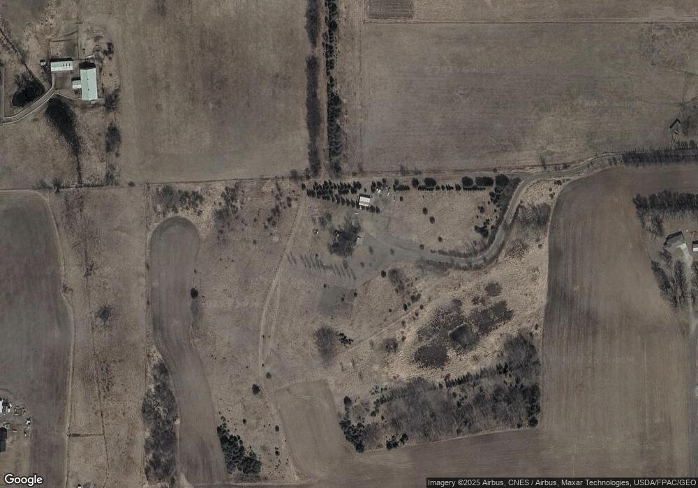
Map
Nearby Homes
- Lot B 75th Ave NE
- 5901 Rub-Of-the-green St
- 5916 Stadium St
- 4860 15th St NE
- 4820 15th St NE
- 12395 Duelm Rd NE
- 5345 Sand Bunker St
- 5376 Tee-To-green St
- 1226 45th Ave NE
- 1108 45th Ave NE
- 1106 45th Ave NE
- 1104 45th Ave NE
- 1102 45th Ave NE
- 8155 17th St SE
- 4771 8th Street Loop NE
- 4195 25th St NE
- 4745 8th Street Loop NE
- 971 45th Ave NE
- The Ashton Plan at Waters Edge
- The Mulberry Plan at Waters Edge - Liberty
- 2060 75th Ave NE
- 1885 Primrose Rd NE
- 1828 75th Ave NE
- 1840 Primrose Rd NE
- 2049 75th Ave NE
- 2049 75th Ave NE
- 1720 Primrose Rd NE
- 1939 Primrose Rd NE
- 1961 Primrose Rd NE
- 1995 75th Ave NE
- 2155 75th Ave NE
- 1978 Primrose Rd NE
- 2350 75th Ave NE
- 2003 Primrose Rd NE
- 2002 Primrose Rd NE
- 1546 Primrose Rd NE
- 8091 Highway 95 NE
- 2157 75th Ave NE
- 7338 Highway 95 NE
- 8181 Highway 95 NE