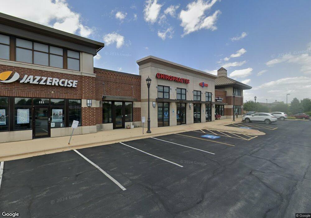
1935 Springbrook Square Dr Naperville, IL 60564
Springbrook Prairie NeighborhoodEstimated Value: $2,677,394
Studio
--
Bath
7,522
Sq Ft
$356/Sq Ft
Est. Value
About This Home
This home is located at 1935 Springbrook Square Dr, Naperville, IL 60564 and is currently estimated at $2,677,394, approximately $355 per square foot. 1935 Springbrook Square Dr is a home located in DuPage County with nearby schools including Welch Elementary School, Scullen Middle School, and Neuqua Valley High School.
Ownership History
Date
Name
Owned For
Owner Type
Purchase Details
Closed on
Apr 26, 2019
Sold by
Southern Land Development Llc
Bought by
Springbrook Square Llc
Current Estimated Value
Purchase Details
Closed on
Apr 9, 2015
Sold by
Dtd Llc
Bought by
Southern Land Development Llc
Purchase Details
Closed on
Mar 2, 2006
Sold by
Bushnell Land Development Llc
Bought by
Dtd Llc
Home Financials for this Owner
Home Financials are based on the most recent Mortgage that was taken out on this home.
Original Mortgage
$724,000
Interest Rate
6.33%
Mortgage Type
Commercial
Create a Home Valuation Report for This Property
The Home Valuation Report is an in-depth analysis detailing your home's value as well as a comparison with similar homes in the area
Home Values in the Area
Average Home Value in this Area
Purchase History
| Date | Buyer | Sale Price | Title Company |
|---|---|---|---|
| Springbrook Square Llc | -- | Attorney | |
| Southern Land Development Llc | $1,600,000 | C T I C | |
| Dtd Llc | $965,000 | Ctic |
Source: Public Records
Mortgage History
| Date | Status | Borrower | Loan Amount |
|---|---|---|---|
| Previous Owner | Dtd Llc | $724,000 |
Source: Public Records
Tax History
| Year | Tax Paid | Tax Assessment Tax Assessment Total Assessment is a certain percentage of the fair market value that is determined by local assessors to be the total taxable value of land and additions on the property. | Land | Improvement |
|---|---|---|---|---|
| 2024 | $25,186 | $403,504 | $89,132 | $314,372 |
| 2023 | $24,242 | $362,570 | $80,090 | $282,480 |
| 2022 | $28,750 | $420,690 | $111,000 | $309,690 |
| 2021 | $27,886 | $405,680 | $107,040 | $298,640 |
| 2020 | $27,847 | $405,680 | $107,040 | $298,640 |
| 2019 | $26,808 | $385,850 | $101,810 | $284,040 |
| 2018 | $26,175 | $369,770 | $97,570 | $272,200 |
| 2017 | $25,494 | $357,230 | $94,260 | $262,970 |
| 2016 | $23,704 | $324,040 | $90,460 | $233,580 |
| 2015 | $23,543 | $307,670 | $85,890 | $221,780 |
| 2014 | $14,347 | $180,990 | $85,890 | $95,100 |
| 2013 | $14,310 | $182,250 | $86,490 | $95,760 |
Source: Public Records
Map
Nearby Homes
- 2732 Flagstone Cir
- 1512 Harbour Towne Place
- 1517 Pine Lake Dr
- 9S321 Chandelle Dr
- 2204 Waterleaf Ct Unit CT104
- 1503 Wexford Place
- 4005 White Eagle Dr
- 4515 Chelsea Manor Cir
- 3942 Broadmoor Cir
- 3901 White Eagle Dr W
- 4139 Winslow Ct
- 1329 Amaranth Dr
- 1348 Amaranth Dr
- 4213 Calder Ln
- 1135 Red Clover Dr
- 2652 Charlestowne Ln
- 4118 Calder Ln
- 1441 Aberdeen Ct
- 4172 Calder Ln
- 2363 Fawn Lake Cir
- 1935 Springbrook Square Dr Unit 105
- 1935 Springbrook Square Dr Unit 109
- 1923 Springbrook Square Dr
- 1995 Springbrook Square Dr
- 1975 Springbrook Square Dr
- 1903 Springbrook Square Dr
- 1932 Springbrook Square Dr
- 1980 N Route 59
- 1980 Illinois Route 59
- 1960 Springbrook Square Dr
- 1960 Springbrook Square Dr Unit 100
- 1960 Springbrook Square Dr Unit 104
- 9S374 Aero Dr
- 1301 Illinois Route 59 Unit 101
- 1301 Illinois Route 59 Unit 109
- 1301 Illinois Route 59 Unit 105
- 1301 S Route 59 Unit 7
- 1301 S Route 59 Unit 3
- 1301 S Route 59 Unit 2
- 1301 S Route 59 Unit 4
Your Personal Tour Guide
Ask me questions while you tour the home.