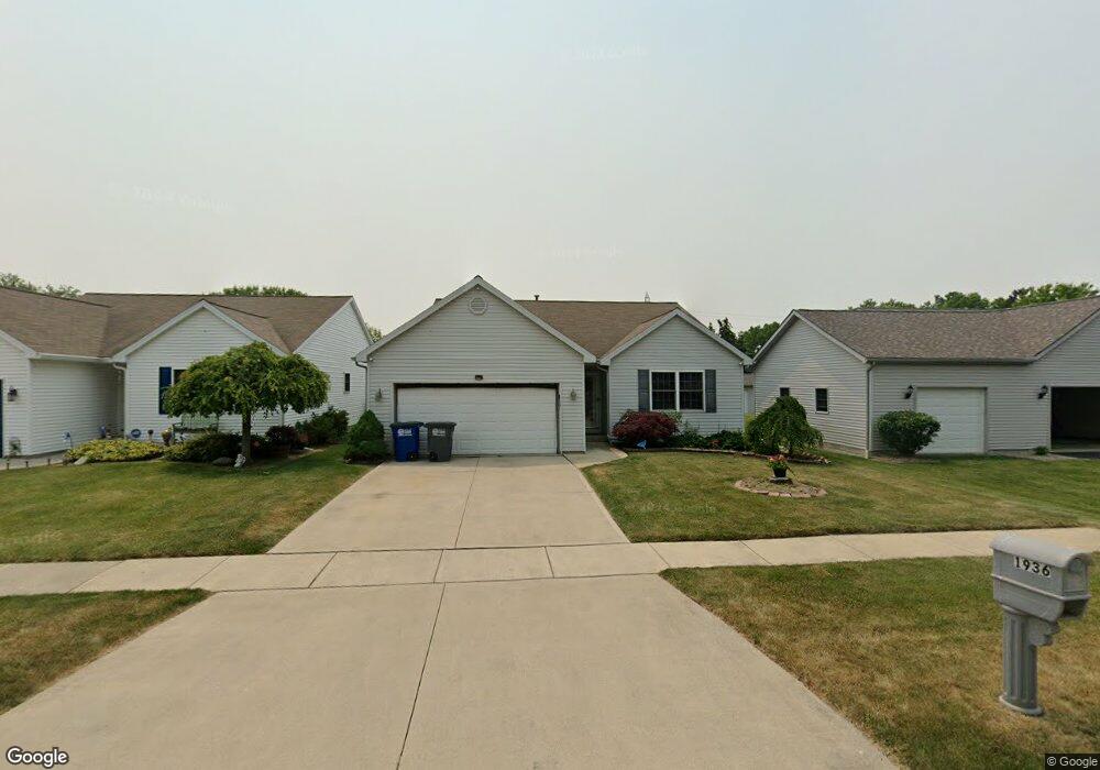
1936 Allendale Dr Toledo, OH 43611
Point Place NeighborhoodEstimated Value: $168,699 - $225,000
3
Beds
2
Baths
1,490
Sq Ft
$136/Sq Ft
Est. Value
About This Home
This home is located at 1936 Allendale Dr, Toledo, OH 43611 and is currently estimated at $202,925, approximately $136 per square foot. 1936 Allendale Dr is a home located in Lucas County with nearby schools including Shoreland Elementary School, Washington Junior High School, and Jefferson Junior High School.
Ownership History
Date
Name
Owned For
Owner Type
Purchase Details
Closed on
Feb 7, 2017
Sold by
Thomas Leslie R
Bought by
Thomas Ii William E
Current Estimated Value
Purchase Details
Closed on
Nov 28, 2005
Sold by
Baron Homes Inc
Bought by
Thomas Ii William E and Thomas Leslie R
Home Financials for this Owner
Home Financials are based on the most recent Mortgage that was taken out on this home.
Original Mortgage
$122,320
Outstanding Balance
$66,674
Interest Rate
6.25%
Mortgage Type
Fannie Mae Freddie Mac
Estimated Equity
$136,251
Create a Home Valuation Report for This Property
The Home Valuation Report is an in-depth analysis detailing your home's value as well as a comparison with similar homes in the area
Home Values in the Area
Average Home Value in this Area
Purchase History
| Date | Buyer | Sale Price | Title Company |
|---|---|---|---|
| Thomas Ii William E | -- | None Available | |
| Thomas Ii William E | $152,900 | None Available |
Source: Public Records
Mortgage History
| Date | Status | Borrower | Loan Amount |
|---|---|---|---|
| Open | Thomas Ii William E | $122,320 |
Source: Public Records
Tax History
| Year | Tax Paid | Tax Assessment Tax Assessment Total Assessment is a certain percentage of the fair market value that is determined by local assessors to be the total taxable value of land and additions on the property. | Land | Improvement |
|---|---|---|---|---|
| 2025 | -- | $33,355 | $8,015 | $25,340 |
| 2024 | $1,062 | $33,355 | $8,015 | $25,340 |
| 2023 | $1,958 | $26,145 | $4,585 | $21,560 |
| 2022 | $1,940 | $26,145 | $4,585 | $21,560 |
| 2021 | $1,995 | $26,145 | $4,585 | $21,560 |
| 2020 | $2,199 | $24,955 | $6,370 | $18,585 |
| 2019 | $670 | $6,370 | $6,370 | $0 |
| 2018 | $650 | $6,370 | $6,370 | $0 |
| 2017 | $628 | $6,370 | $6,370 | $0 |
| 2016 | $648 | $18,200 | $18,200 | $0 |
| 2015 | $673 | $18,200 | $18,200 | $0 |
| 2014 | $446 | $6,370 | $6,370 | $0 |
| 2013 | $446 | $6,370 | $6,370 | $0 |
Source: Public Records
Map
Nearby Homes
- 1930 Allendale Dr
- 4251 Northcroft Ln
- 4220 Northshire Rd
- 1945 Grimes Golden Dr
- 3624 Terrace Dr
- 3560 Dixie Dr
- 3533 Willow Brook Ln
- 4745 Ottawa Trail Rd
- 4539 290th St
- 2352 108th St
- 2426 106th St
- 4532 290th St
- 2718 Detwiler Dr
- 5314 Suder Ave
- 3030 Chase St
- 1548 Booth Ave
- 3427 Beaumont Dr
- 1816 Clay Ave
- 5457 Thornbrook Trail
- 1821 Ridgewood Ave
- 1942 Allendale Dr
- 1946 Allendale Dr
- 1916 Allendale Dr
- 1952 Allendale Dr
- 1920 Allendale Dr
- 1929 Northwyck Dr
- 1923 Northwyck Dr
- 1933 Northwyck Dr
- 4246 Northcroft Ln
- 1941 Allendale Dr
- 1943 Northwyck Dr
- 1937 Allendale Dr
- 1912 Allendale Dr
- 1947 Allendale Dr
- 1933 Allendale Dr
- 1962 Allendale Dr
- 1951 Allendale Dr
- 1927 Allendale Dr
- 1947 Northwyck Dr
Your Personal Tour Guide
Ask me questions while you tour the home.