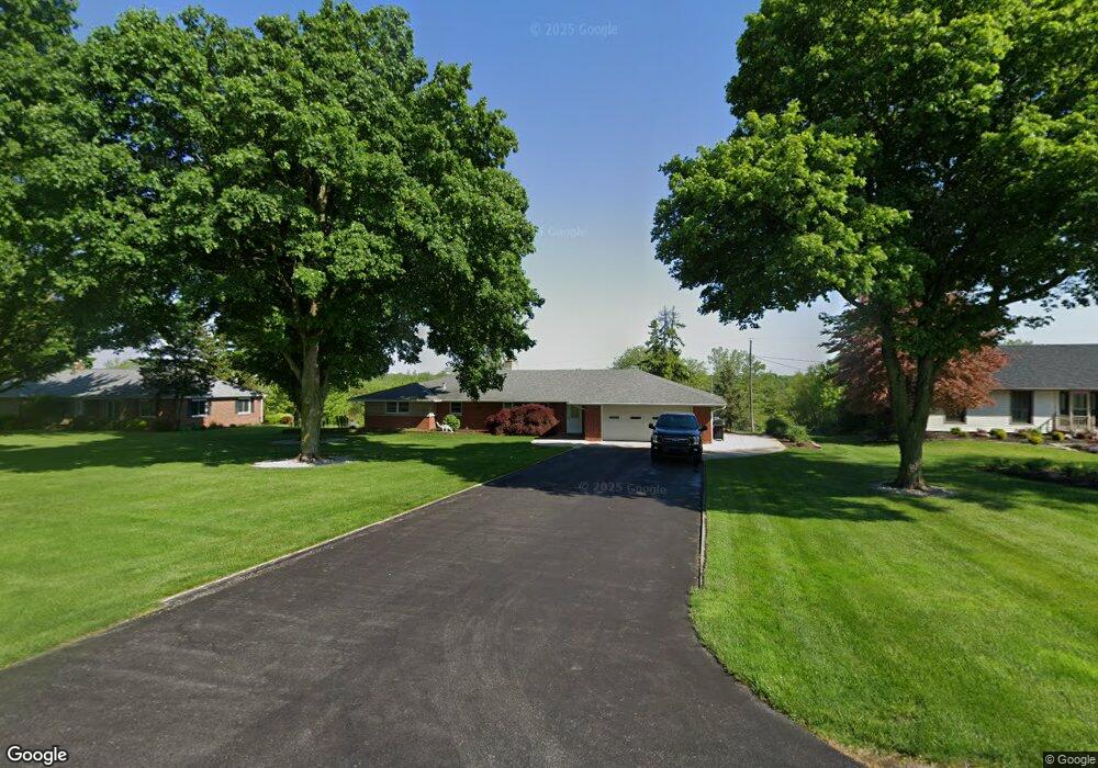
1936 Colwell Cir Defiance, OH 43512
Estimated Value: $228,000 - $305,000
3
Beds
2
Baths
1,930
Sq Ft
$140/Sq Ft
Est. Value
About This Home
This home is located at 1936 Colwell Cir, Defiance, OH 43512 and is currently estimated at $270,646, approximately $140 per square foot. 1936 Colwell Cir is a home located in Defiance County with nearby schools including Ayersville Elementary School, Ayersville High School, and St. John Lutheran School.
Ownership History
Date
Name
Owned For
Owner Type
Purchase Details
Closed on
Jun 7, 2016
Sold by
Colwell Marilyn A
Bought by
Sanders Scott P
Current Estimated Value
Purchase Details
Closed on
Jun 1, 2016
Sold by
Sanders Scott P
Bought by
Sanders Scott P
Purchase Details
Closed on
Apr 21, 2016
Sold by
Guilford David L and Guilford Myra
Bought by
Sanders Scott P
Purchase Details
Closed on
Oct 17, 2003
Bought by
Sanders Scott P
Purchase Details
Closed on
Mar 15, 2000
Bought by
Sanders Scott P
Create a Home Valuation Report for This Property
The Home Valuation Report is an in-depth analysis detailing your home's value as well as a comparison with similar homes in the area
Home Values in the Area
Average Home Value in this Area
Purchase History
| Date | Buyer | Sale Price | Title Company |
|---|---|---|---|
| Sanders Scott P | $300 | None Available | |
| Sanders Scott P | -- | None Available | |
| Sanders Scott P | -- | None Available | |
| Sanders Scott P | $194,000 | -- | |
| Sanders Scott P | $170,000 | -- |
Source: Public Records
Tax History Compared to Growth
Tax History
| Year | Tax Paid | Tax Assessment Tax Assessment Total Assessment is a certain percentage of the fair market value that is determined by local assessors to be the total taxable value of land and additions on the property. | Land | Improvement |
|---|---|---|---|---|
| 2024 | $2,628 | $73,970 | $11,670 | $62,300 |
| 2023 | $2,628 | $73,970 | $11,670 | $62,300 |
| 2022 | $2,762 | $65,310 | $11,670 | $53,640 |
| 2021 | $2,762 | $65,310 | $11,670 | $53,640 |
| 2020 | $2,818 | $65,310 | $11,670 | $53,640 |
| 2019 | $2,683 | $62,740 | $11,660 | $51,080 |
| 2018 | $2,656 | $62,740 | $11,660 | $51,080 |
| 2017 | $2,640 | $62,745 | $11,662 | $51,083 |
| 2016 | $2,220 | $53,270 | $11,462 | $41,808 |
| 2015 | -- | $53,270 | $11,462 | $41,808 |
| 2014 | -- | $53,270 | $11,462 | $41,808 |
| 2013 | -- | $53,270 | $11,462 | $41,808 |
| 2012 | -- | $53,271 | $11,463 | $41,808 |
Source: Public Records
Map
Nearby Homes
- 1819 Maumee Dr
- 1744 Lora Ln
- 649 Burning Tree Dr
- 1408 Heatherdowns Dr
- 1365 Heatherdowns Dr
- 655 Burning Tree Dr
- 673 Burning Tree Dr
- 679 Burning Tree Dr
- 1459 Deerwood Dr
- 1613 E 2nd St
- 846 Deerwood Dr
- 00 Carpenter Rd
- 850 Deerwood Dr
- 1275 Pinehurst Dr
- 0 Domersville Rd
- 600 Euclid St
- 905 Hees Ct
- 1050 Madison Ave
- 0 Carpenter Rd Unit 10001359
- 420 Highland St
- 1955 Colwell Cir
- 1923 Upton St
- 1950 Colwell Cir
- 1959 Colwell Cir
- 1915 Riverview Dr
- 1925 Riverview Dr
- 36 Colwell Cir
- 13 Riverview Dr
- 0 Riverview Dr
- 14 Riverview Dr
- 1932 Riverview Dr
- 1935 Riverview Dr
- 1916 Riverview Dr
- 1940 Riverview Dr
- 1887 Riverview Dr
- 1985 Colwell Cir
- 1894 Riverview Dr
- 1956 Riverview Dr
- 113 Spring Ct
- 117 Spring Ct