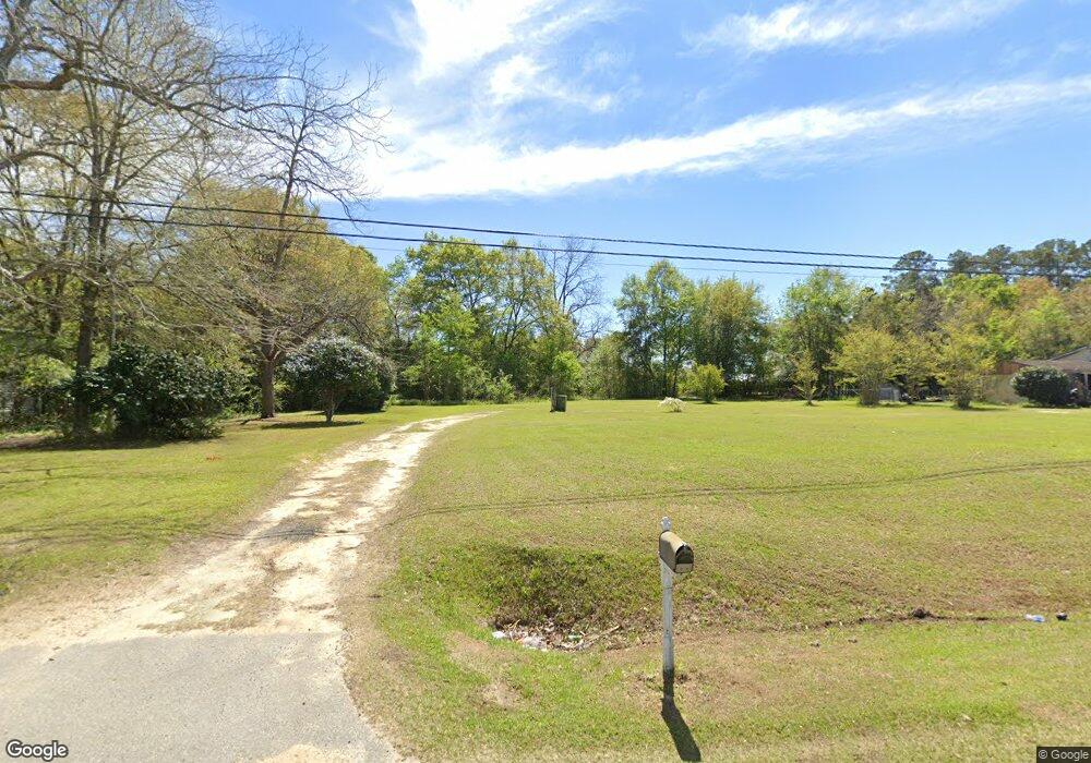
1936 Ga Highway 37 E Moultrie, GA 31788
Estimated Value: $56,000 - $181,000
--
Bed
--
Bath
720
Sq Ft
$136/Sq Ft
Est. Value
About This Home
This home is located at 1936 Ga Highway 37 E, Moultrie, GA 31788 and is currently estimated at $98,023, approximately $136 per square foot. 1936 Ga Highway 37 E is a home with nearby schools including Odom Elementary School, Willie J. Williams Middle School, and C.A. Gray Junior High School.
Ownership History
Date
Name
Owned For
Owner Type
Purchase Details
Closed on
Dec 5, 2003
Sold by
Williams Talmadge L
Bought by
Grogan James
Current Estimated Value
Purchase Details
Closed on
Sep 2, 2003
Sold by
Watts Gina
Bought by
Williams Talmadge L
Purchase Details
Closed on
Nov 19, 1998
Bought by
Watts Gina
Purchase Details
Closed on
Sep 8, 1995
Bought by
Tyson Coy L
Purchase Details
Closed on
Feb 14, 1995
Bought by
Brightwell Betty Gay
Purchase Details
Closed on
Jul 23, 1993
Bought by
Brightwell Betty Gay
Create a Home Valuation Report for This Property
The Home Valuation Report is an in-depth analysis detailing your home's value as well as a comparison with similar homes in the area
Home Values in the Area
Average Home Value in this Area
Purchase History
| Date | Buyer | Sale Price | Title Company |
|---|---|---|---|
| Grogan James | $26,600 | -- | |
| Williams Talmadge L | -- | -- | |
| Watts Gina | $39,000 | -- | |
| Tyson Coy L | $13,800 | -- | |
| Brightwell Betty Gay | -- | -- | |
| Brightwell Betty Gay | -- | -- |
Source: Public Records
Tax History Compared to Growth
Tax History
| Year | Tax Paid | Tax Assessment Tax Assessment Total Assessment is a certain percentage of the fair market value that is determined by local assessors to be the total taxable value of land and additions on the property. | Land | Improvement |
|---|---|---|---|---|
| 2024 | $99 | $4,374 | $3,574 | $800 |
| 2023 | $99 | $4,374 | $3,574 | $800 |
| 2022 | $95 | $4,000 | $3,200 | $800 |
| 2021 | $85 | $3,500 | $3,200 | $300 |
| 2020 | $87 | $3,500 | $3,200 | $300 |
| 2019 | $96 | $3,500 | $3,200 | $300 |
| 2018 | $90 | $3,500 | $3,200 | $300 |
| 2017 | $95 | $3,500 | $3,200 | $300 |
| 2016 | $90 | $3,500 | $3,200 | $300 |
| 2015 | -- | $3,500 | $3,200 | $300 |
| 2014 | -- | $3,500 | $3,200 | $300 |
| 2013 | -- | $0 | $0 | $0 |
Source: Public Records
Map
Nearby Homes
- 0 Doc Darbyshire Rd
- LL261 Rowland Dr
- 2332 Georgia 37
- 1406 3rd Ave SE
- 1716 5th Ave SE
- 619 E Central Ave
- 717 5th Ave SE
- 407 1st Ave SE
- 157 Quail Ridge
- 521 5th Ave SE Unit 4
- 515 5th Ave SE Unit 4
- 0 S U Highway 319 N
- 1021 11th Ave SE
- 302 4th Ave SE
- 224 4th Ave SE
- 292 Robin Ln
- 223 5th Ave SE
- 615 1st St NW
- 614 2nd St NW
- 503 2nd St NW
- 1924 Ga Highway 37 E
- 1954 Ga Highway 37 E
- 169 Lindale Ave
- 159 Lindale Ave
- 152 Lindale Ave
- 1902 Ga Highway 37 E
- 140 Myrtle St
- 152 Myrtle St
- 1972 Ga Highway 37 E
- 128 Myrtle St
- 130 Lindale Ave
- 166 Lindale Ave
- 178 Lindale Ave
- 104 Lindale Ave
- 190 Lindale Ave
- 1941 Ga Highway 37 E
- 1992 Ga Highway 37 E
- 203 Lindale Ave
- 198 Lindale Ave
- 114 Lindale Ave