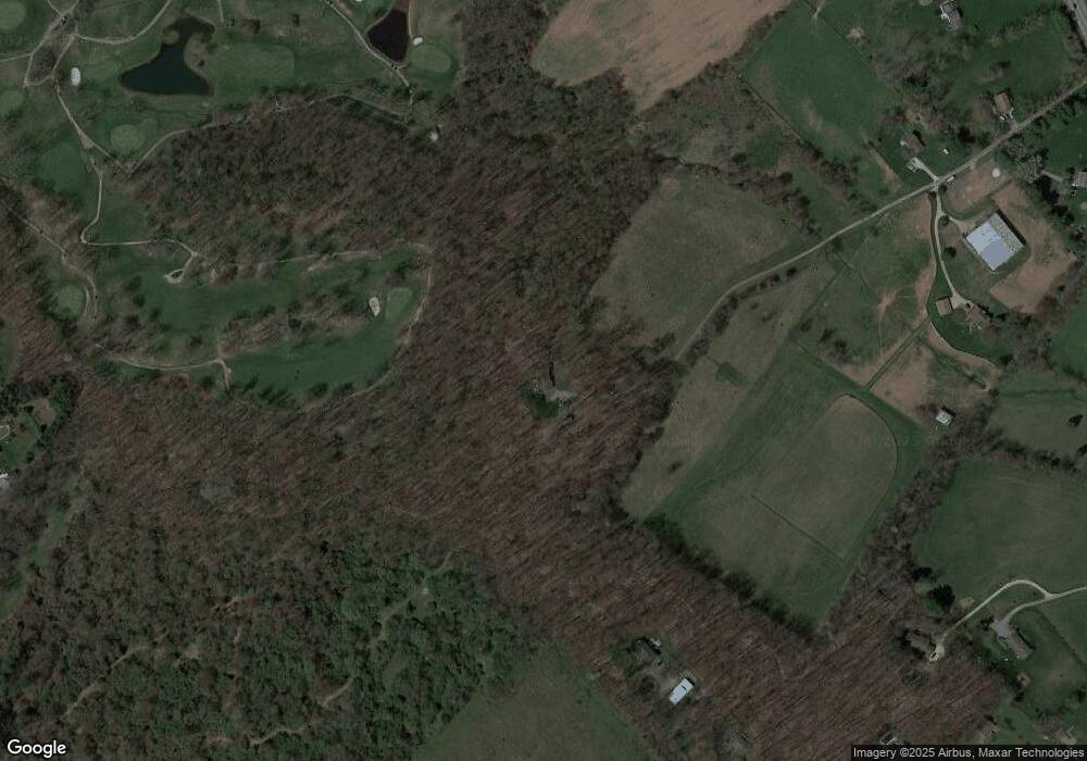
1936 Littlestown Pike Westminster, MD 21158
Estimated Value: $651,000 - $753,667
--
Bed
3
Baths
2,424
Sq Ft
$288/Sq Ft
Est. Value
About This Home
This home is located at 1936 Littlestown Pike, Westminster, MD 21158 and is currently estimated at $698,417, approximately $288 per square foot. 1936 Littlestown Pike is a home located in Carroll County with nearby schools including William Winchester Elementary School, Westminster East Middle School, and Winters Mill High School.
Ownership History
Date
Name
Owned For
Owner Type
Purchase Details
Closed on
Jun 9, 2014
Sold by
Lebold Mitchell Shane
Bought by
Peloquin Michael E and Peloquin Debra L
Current Estimated Value
Home Financials for this Owner
Home Financials are based on the most recent Mortgage that was taken out on this home.
Original Mortgage
$352,750
Interest Rate
4.21%
Mortgage Type
New Conventional
Purchase Details
Closed on
Oct 7, 2005
Sold by
Elaine Boose S and Elaine Ra
Bought by
Lebold Mitchell Shane
Purchase Details
Closed on
Dec 31, 1987
Sold by
Weidman Victor M
Bought by
Boose Sandra Elaine
Create a Home Valuation Report for This Property
The Home Valuation Report is an in-depth analysis detailing your home's value as well as a comparison with similar homes in the area
Home Values in the Area
Average Home Value in this Area
Purchase History
| Date | Buyer | Sale Price | Title Company |
|---|---|---|---|
| Peloquin Michael E | $415,000 | Supreme Title Company | |
| Lebold Mitchell Shane | -- | -- | |
| Boose Sandra Elaine | $15,500 | -- |
Source: Public Records
Mortgage History
| Date | Status | Borrower | Loan Amount |
|---|---|---|---|
| Previous Owner | Peloquin Michael E | $352,750 |
Source: Public Records
Tax History Compared to Growth
Tax History
| Year | Tax Paid | Tax Assessment Tax Assessment Total Assessment is a certain percentage of the fair market value that is determined by local assessors to be the total taxable value of land and additions on the property. | Land | Improvement |
|---|---|---|---|---|
| 2025 | $4,913 | $461,067 | $0 | $0 |
| 2024 | $4,913 | $433,333 | $0 | $0 |
| 2023 | $4,602 | $405,600 | $235,100 | $170,500 |
| 2022 | $4,568 | $402,567 | $0 | $0 |
| 2021 | $9,269 | $399,533 | $0 | $0 |
| 2020 | $4,540 | $396,500 | $235,100 | $161,400 |
| 2019 | $4,540 | $396,500 | $235,100 | $161,400 |
| 2018 | $4,500 | $396,500 | $235,100 | $161,400 |
| 2017 | $4,535 | $399,600 | $0 | $0 |
| 2016 | -- | $399,600 | $0 | $0 |
| 2015 | -- | $399,600 | $0 | $0 |
| 2014 | -- | $300,900 | $0 | $0 |
Source: Public Records
Map
Nearby Homes
- 200 Magers Dr
- 16 Kalten Rd
- 1624 Littlestown Pike
- 25 John Owings Rd
- 2440 Florence Dr
- 1254 Pinch Valley Rd
- 0 Deer Ridge Dr Unit MDCR2028308
- 380 Crowl Rd
- 0 Old Bachmans Valley Rd
- 1865 Hughes Shop Rd
- 2734 Littlestown Pike
- 785 View Dr W
- 1909 Hughes Shop Rd
- 2561 Cedar Ridge Dr
- 1310 Hughes Shop Rd
- 0 Pinch Valley Rd Unit MDCR2010438
- 315 Meadow Creek Dr
- 2227 Hughes Shop Rd
- 505 Alysweep Ct
- 715 Sullivan Rd
- 230 Magers Dr
- 220 Magers Dr
- 1938 Littlestown Pike
- 1934 Littlestown Pike
- 1840 Littlestown Pike
- 210 Magers Dr
- 1524 Miller Rd
- 1940 Littlestown Pike
- 1828 Littlestown Pike
- 410 Dotsie Dr
- 1930 Littlestown Pike
- 440 Dotsie Dr
- 407 Dotsie Dr
- 401 Plankwood Dr
- 1530 Miller Rd
- 1948 Littlestown Pike
- 1532 Miller Rd
- 470 Dotsie Dr
- 1918 Littlestown Pike
- 437 Dotsie Dr
