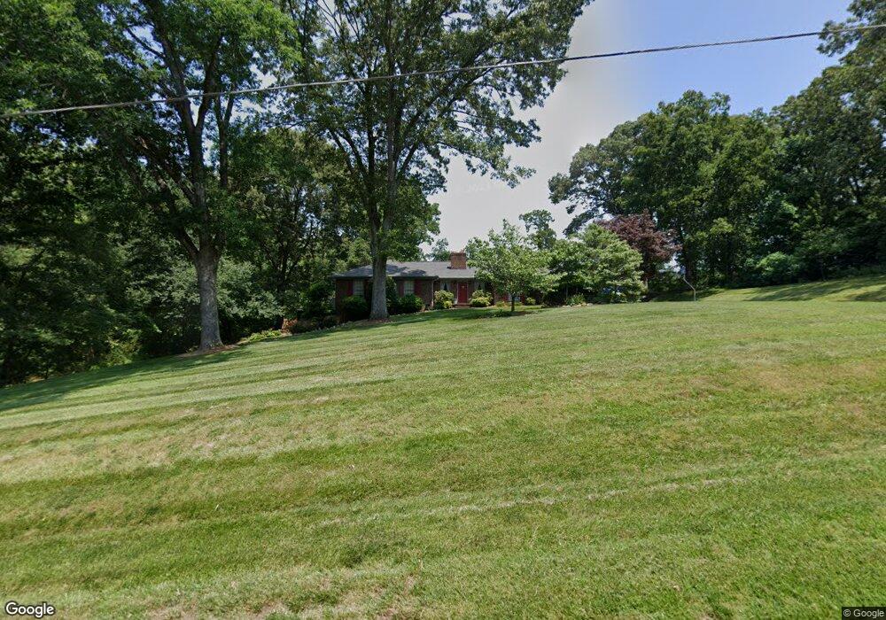
1936 Moss Dr Newton, NC 28658
Estimated Value: $291,000 - $381,911
3
Beds
2
Baths
2,105
Sq Ft
$164/Sq Ft
Est. Value
About This Home
This home is located at 1936 Moss Dr, Newton, NC 28658 and is currently estimated at $345,978, approximately $164 per square foot. 1936 Moss Dr is a home located in Catawba County with nearby schools including Balls Creek Elementary School, Bandys High School, and Mill Creek Middle School.
Ownership History
Date
Name
Owned For
Owner Type
Purchase Details
Closed on
Aug 23, 2021
Sold by
Moss Kenneth M and Moss Paulette G
Bought by
Williams Tara Moss and Moss Kenneth Garrett
Current Estimated Value
Purchase Details
Closed on
May 1, 1977
Bought by
Moss Kenneth Mitchel and Moss Paulett
Create a Home Valuation Report for This Property
The Home Valuation Report is an in-depth analysis detailing your home's value as well as a comparison with similar homes in the area
Home Values in the Area
Average Home Value in this Area
Purchase History
| Date | Buyer | Sale Price | Title Company |
|---|---|---|---|
| Williams Tara Moss | -- | None Available | |
| Moss Kenneth M | -- | None Listed On Document | |
| Moss Kenneth Mitchel | $5,000 | -- |
Source: Public Records
Tax History Compared to Growth
Tax History
| Year | Tax Paid | Tax Assessment Tax Assessment Total Assessment is a certain percentage of the fair market value that is determined by local assessors to be the total taxable value of land and additions on the property. | Land | Improvement |
|---|---|---|---|---|
| 2025 | $1,667 | $333,800 | $22,200 | $311,600 |
| 2024 | $1,667 | $333,800 | $22,200 | $311,600 |
| 2023 | $1,667 | $333,800 | $22,200 | $311,600 |
| 2022 | $1,728 | $238,400 | $22,200 | $216,200 |
| 2021 | $1,681 | $238,400 | $22,200 | $216,200 |
| 2020 | $1,681 | $238,400 | $22,200 | $216,200 |
| 2019 | $1,657 | $238,400 | $0 | $0 |
| 2018 | $1,478 | $212,600 | $21,900 | $190,700 |
| 2017 | $1,414 | $0 | $0 | $0 |
| 2016 | $1,414 | $0 | $0 | $0 |
| 2015 | $1,445 | $212,570 | $21,900 | $190,670 |
| 2014 | $1,445 | $240,900 | $29,300 | $211,600 |
Source: Public Records
Map
Nearby Homes
- 0 Caleb Setzer Rd
- 1895 Sandy Cir
- 1071 Caleb Setzer Rd
- 7.03 acres 5 W Hwy 10 Hwy
- 2320 Claremont Rd
- 1632 Piper Creek Ave
- 954 Leyna Ct
- 1668 Piper Creek Ave
- 1694 Piper Creek Ave
- 1490 Edisons Bright Way
- 1502 Mulberry Ridge Dr Unit 1
- 1494 Mulberry Ridge Dr
- 1231 E I St
- 1354 Cypress Loop
- 1522 Cannan Mountain Dr
- 1871 Crestview Dr
- 1585 Nathanial St
- 1254 Little Rd
- 624 Overlook Dr
- 2050 Hermit Trail
- 0000 Moss Dr Unit 1
- 1912 Moss Dr
- 1935 Moss Dr
- 1898 Moss Dr
- 1905 Moss Dr
- 1888 Moss Dr Unit 1
- 1888 Moss Dr
- 1948 Moss Dr
- 1920 Nance Dr
- 1889 Moss Dr
- 1354 Harris Ave
- 1904 Nance Dr
- 1362 Harris Ave
- 1331 Harris Ave
- 1372 Harris Ave
- 1921 Nance Dr
- 1921 Nance Dr Unit 5
- 1903 Nance Dr
- 1921 Eckard Ave
- 1390 Harris Ave