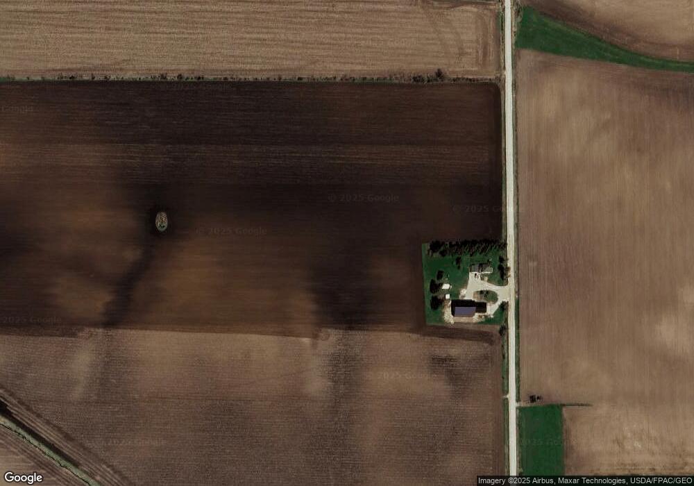
1936 Navaho Ave Tripoli, IA 50676
Estimated Value: $337,543 - $445,000
4
Beds
2
Baths
1,926
Sq Ft
$192/Sq Ft
Est. Value
About This Home
This home is located at 1936 Navaho Ave, Tripoli, IA 50676 and is currently estimated at $370,136, approximately $192 per square foot. 1936 Navaho Ave is a home located in Bremer County with nearby schools including Tripoli Elementary School and Tripoli Middle/High School.
Ownership History
Date
Name
Owned For
Owner Type
Purchase Details
Closed on
Dec 11, 2015
Sold by
Meyer Ivan M
Bought by
Milius Nathan Richard and Milius Lesley Ann
Current Estimated Value
Home Financials for this Owner
Home Financials are based on the most recent Mortgage that was taken out on this home.
Original Mortgage
$258,990
Outstanding Balance
$156,606
Interest Rate
3.75%
Mortgage Type
USDA
Estimated Equity
$213,530
Purchase Details
Closed on
Dec 23, 2010
Sold by
Estate Of Mary Ellen Zander
Bought by
Milius Nathan R and Mehmen Lesley A
Home Financials for this Owner
Home Financials are based on the most recent Mortgage that was taken out on this home.
Original Mortgage
$145,000
Interest Rate
4.53%
Mortgage Type
Future Advance Clause Open End Mortgage
Create a Home Valuation Report for This Property
The Home Valuation Report is an in-depth analysis detailing your home's value as well as a comparison with similar homes in the area
Home Values in the Area
Average Home Value in this Area
Purchase History
| Date | Buyer | Sale Price | Title Company |
|---|---|---|---|
| Milius Nathan Richard | $581,500 | None Available | |
| Milius Nathan R | $142,500 | None Available |
Source: Public Records
Mortgage History
| Date | Status | Borrower | Loan Amount |
|---|---|---|---|
| Open | Milius Nathan Richard | $258,990 | |
| Previous Owner | Milius Nathan R | $145,000 |
Source: Public Records
Tax History Compared to Growth
Tax History
| Year | Tax Paid | Tax Assessment Tax Assessment Total Assessment is a certain percentage of the fair market value that is determined by local assessors to be the total taxable value of land and additions on the property. | Land | Improvement |
|---|---|---|---|---|
| 2025 | $4,118 | $356,690 | $70,050 | $286,640 |
| 2024 | $4,118 | $328,860 | $70,050 | $258,810 |
| 2023 | $2,078 | $186,900 | $57,150 | $129,750 |
| 2022 | $2,042 | $157,020 | $53,900 | $103,120 |
| 2021 | $2,036 | $157,020 | $53,900 | $103,120 |
| 2020 | $2,036 | $145,330 | $43,750 | $101,580 |
| 2019 | $1,944 | $145,330 | $0 | $0 |
| 2018 | $1,934 | $145,330 | $0 | $0 |
| 2017 | $1,934 | $145,590 | $0 | $0 |
| 2016 | $1,990 | $145,590 | $0 | $0 |
| 2015 | $1,990 | $136,070 | $0 | $0 |
| 2014 | $1,866 | $136,070 | $0 | $0 |
Source: Public Records
Map
Nearby Homes
- 1000 S Main St
- 908 S Main St
- 908 SE 3rd St
- 904 SE 3rd St
- 606 S Main St
- 405 2nd Ave SW
- 315 S Main St
- 408 4th Ave SE
- 307 W Ridge St
- 120 Highland Ave
- 606 W View Dr
- 406 E 6th St
- 2842 220th St
- 1672 212th St
- 750 E Fayette St
- 541 E Fayette St
- 8.97 U S 63
- 11.05 Acres Hilton Ave
- Lot 12 Arrowhead Ridge
- LOt 10 Arrowhead Ridge