1936 W Dupont Rd Fort Wayne, IN 46818
Northwest Fort Wayne NeighborhoodEstimated Value: $324,000 - $487,000
3
Beds
2
Baths
2,128
Sq Ft
$178/Sq Ft
Est. Value
About This Home
This home is located at 1936 W Dupont Rd, Fort Wayne, IN 46818 and is currently estimated at $378,820, approximately $178 per square foot. 1936 W Dupont Rd is a home located in Allen County with nearby schools including Hickory Center Elementary School, Carroll Middle School, and Carroll High School.
Ownership History
Date
Name
Owned For
Owner Type
Purchase Details
Closed on
Apr 17, 2025
Sold by
Schroeder Margaret L
Bought by
Osborn Gary K
Current Estimated Value
Purchase Details
Closed on
Sep 24, 2001
Sold by
Bailey James E and Tressler Bailey Marcia L
Bought by
Bailey James E and Tressler Bailey Marcia L
Home Financials for this Owner
Home Financials are based on the most recent Mortgage that was taken out on this home.
Original Mortgage
$85,000
Interest Rate
6.97%
Create a Home Valuation Report for This Property
The Home Valuation Report is an in-depth analysis detailing your home's value as well as a comparison with similar homes in the area
Home Values in the Area
Average Home Value in this Area
Purchase History
| Date | Buyer | Sale Price | Title Company |
|---|---|---|---|
| Osborn Gary K | $320,000 | None Listed On Document | |
| Bailey James E | -- | Commonwealth Land Title Co |
Source: Public Records
Mortgage History
| Date | Status | Borrower | Loan Amount |
|---|---|---|---|
| Previous Owner | Bailey James E | $85,000 |
Source: Public Records
Tax History Compared to Growth
Tax History
| Year | Tax Paid | Tax Assessment Tax Assessment Total Assessment is a certain percentage of the fair market value that is determined by local assessors to be the total taxable value of land and additions on the property. | Land | Improvement |
|---|---|---|---|---|
| 2024 | $2,557 | $280,900 | $53,800 | $227,100 |
| 2022 | $2,572 | $234,600 | $53,800 | $180,800 |
| 2021 | $2,539 | $209,200 | $53,800 | $155,400 |
| 2020 | $2,580 | $195,000 | $53,800 | $141,200 |
| 2019 | $2,576 | $189,600 | $53,800 | $135,800 |
| 2018 | $2,570 | $179,200 | $46,800 | $132,400 |
| 2017 | $2,414 | $169,000 | $46,800 | $122,200 |
| 2016 | $2,396 | $165,200 | $46,800 | $118,400 |
| 2014 | $2,254 | $152,800 | $46,800 | $106,000 |
| 2013 | $2,227 | $149,500 | $46,800 | $102,700 |
Source: Public Records
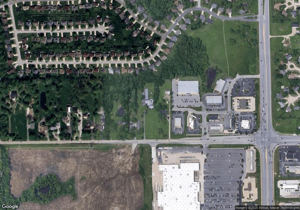
Map
Nearby Homes
- 1923 Sweet Cider Rd
- 2308 Broken Oak Rd
- 10717 Wild Ridge Place
- 10407 Thatcher Ct
- 2316 Sweet Cider Rd
- 2028 Weather Wood Place
- 2605 W Dupont Rd
- 2529 Sweet Cider Rd
- 11020 Windsor Woods Blvd
- 9611 Lima Rd
- 1607 Billy Dr
- 1421 Holly Ridge Run
- 10720 Lone Tree Place
- 11019 Millstone Dr
- 1301 Prosecco Ct
- 9444 Cappelli Way
- 9432 Cappelli Way
- 2517 Loganberry Cove
- 11416 Mountain Ash Run
- 2516 Loganberry Cove
- 1926 W Dupont Rd
- 2016 W Dupont Rd
- 2024 W Dupont Rd
- 2030 W Dupont Rd
- 2005 Broken Oak Rd
- 1927 Broken Oak Rd
- 2011 Broken Oak Rd
- 2017 Broken Oak Rd
- 2023 Broken Oak Rd
- 1921 Broken Oak Rd
- 2029 Broken Oak Rd
- 2034 W Dupont Rd
- 2103 Broken Oak Rd
- 2008 Broken Oak Rd
- 2014 Broken Oak Rd
- 2111 Broken Oak Rd
- 1918 Broken Oak Rd
- 1909 Broken Oak Rd
- 2020 Broken Oak Rd
- 2026 Broken Oak Rd