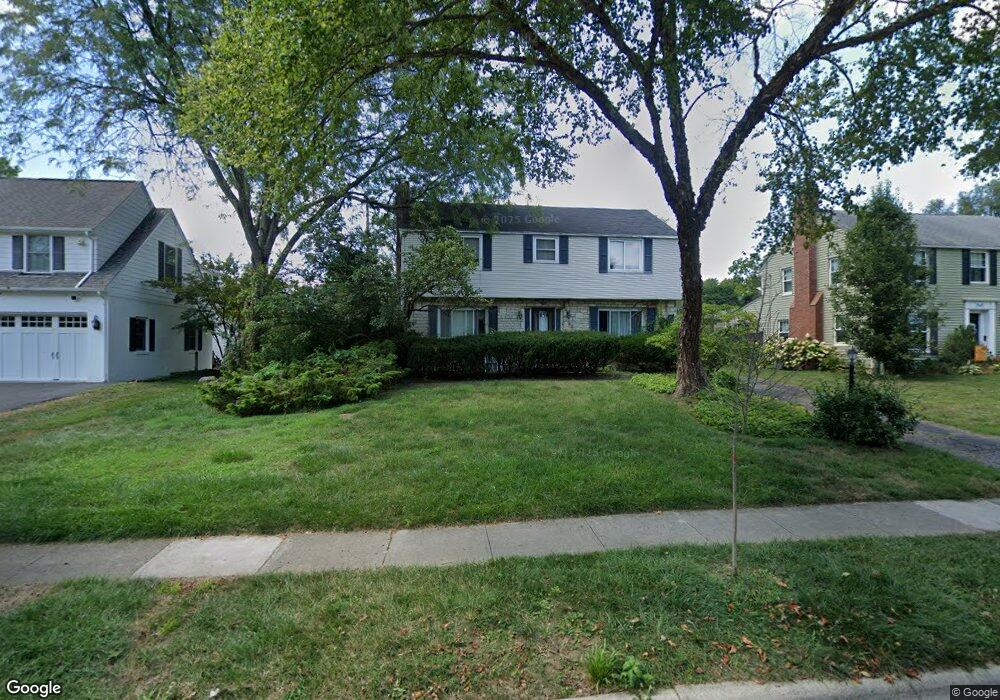
1937 Andover Rd Columbus, OH 43212
Estimated Value: $770,000 - $1,051,000
3
Beds
3
Baths
2,432
Sq Ft
$365/Sq Ft
Est. Value
About This Home
This home is located at 1937 Andover Rd, Columbus, OH 43212 and is currently estimated at $888,891, approximately $365 per square foot. 1937 Andover Rd is a home located in Franklin County with nearby schools including Barrington Road Elementary School, Jones Middle School, and Upper Arlington High School.
Ownership History
Date
Name
Owned For
Owner Type
Purchase Details
Closed on
Apr 27, 2005
Sold by
Cowman William F and Cowman Elizabeth A
Bought by
Cullen Sean and Cullen Amy S
Current Estimated Value
Purchase Details
Closed on
Dec 18, 1997
Sold by
Betty Cowman W F and Cowman William F
Bought by
Cowman William F and Cowman Elizabeth A
Create a Home Valuation Report for This Property
The Home Valuation Report is an in-depth analysis detailing your home's value as well as a comparison with similar homes in the area
Home Values in the Area
Average Home Value in this Area
Purchase History
| Date | Buyer | Sale Price | Title Company |
|---|---|---|---|
| Cullen Sean | $6,700 | Connor Land | |
| Cowman William F | -- | -- |
Source: Public Records
Tax History
| Year | Tax Paid | Tax Assessment Tax Assessment Total Assessment is a certain percentage of the fair market value that is determined by local assessors to be the total taxable value of land and additions on the property. | Land | Improvement |
|---|---|---|---|---|
| 2025 | $15,264 | $273,460 | $128,630 | $144,830 |
| 2024 | $15,264 | $273,460 | $128,630 | $144,830 |
| 2023 | $15,111 | $273,455 | $128,625 | $144,830 |
| 2022 | $14,073 | $210,140 | $73,500 | $136,640 |
| 2021 | $12,457 | $210,140 | $73,500 | $136,640 |
| 2020 | $12,347 | $210,140 | $73,500 | $136,640 |
| 2019 | $12,347 | $186,800 | $73,500 | $113,300 |
| 2018 | $10,962 | $186,800 | $73,500 | $113,300 |
| 2017 | $11,003 | $186,800 | $73,500 | $113,300 |
| 2016 | $9,655 | $153,270 | $56,980 | $96,290 |
| 2015 | $9,646 | $153,270 | $56,980 | $96,290 |
| 2014 | $9,558 | $153,270 | $56,980 | $96,290 |
| 2013 | $4,586 | $139,335 | $51,800 | $87,535 |
Source: Public Records
Map
Nearby Homes
- 1942 Bedford Rd
- 1921 Wyandotte Rd
- 1951 Glenn Ave
- 1780 Waltham Rd
- 1876 Westwood Ave
- 1810 Ashland Ave
- 2006 Cambridge Blvd
- 2151 Fairfax Rd
- 1785 Northwest Ct Unit D
- 2208 Arlington Ave
- 1627 Doone Rd
- 1654-1656 Ashland Ave
- 1648 Ashland Ave
- 1775 Northwest Ct Unit 105
- 1876 Northwest Blvd Unit 2B
- 1869 Tewksbury Rd
- 1507 Chesapeake Ave
- 1624 Ashland Ave
- 1799 Kings Ct Unit B
- 1561 Glenn Ave
- 1945 Andover Rd
- 1921 Andover Rd
- 1800 Stanford Rd
- 1953 Andover Rd
- 1924 Bedford Rd
- 1936 Andover Rd
- 1950 Bedford Rd
- 1926 Andover Rd
- 1961 Andover Rd
- 1946 Andover Rd
- 1770 Stanford Rd
- 1960 Bedford Rd
- 1956 Andover Rd
- 1901 Andover Rd
- 1969 Andover Rd
- 1801 Stanford Rd
- 1900 Bedford Rd
- 1964 Bedford Rd
- 1927 Bedford Rd
- 1900 Andover Rd
Your Personal Tour Guide
Ask me questions while you tour the home.