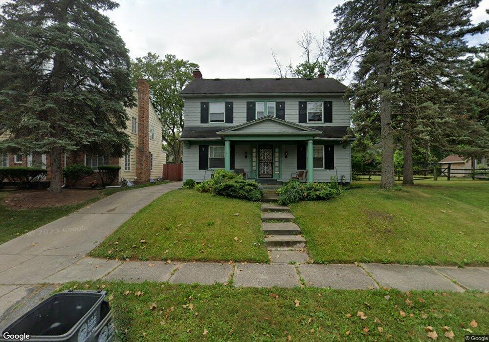
1937 Clarendon Dr Toledo, OH 43607
Ottawa NeighborhoodEstimated Value: $150,000 - $186,000
4
Beds
1
Bath
1,925
Sq Ft
$90/Sq Ft
Est. Value
About This Home
This home is located at 1937 Clarendon Dr, Toledo, OH 43607 and is currently estimated at $172,722, approximately $89 per square foot. 1937 Clarendon Dr is a home located in Lucas County with nearby schools including Jesup W. Scott High School, Explorers Academy, and GESU Catholic School.
Ownership History
Date
Name
Owned For
Owner Type
Purchase Details
Closed on
Aug 2, 2016
Sold by
Ham John and Stevenson Debbie L
Bought by
Ham Johnny J
Current Estimated Value
Purchase Details
Closed on
Feb 22, 2012
Sold by
Ham John
Bought by
Ham John and Stevenson Debbie L
Purchase Details
Closed on
Nov 30, 2011
Sold by
Federal Home Loan Mortgage Corporation
Bought by
Ham John
Purchase Details
Closed on
Sep 8, 2011
Sold by
Bartels Robert J
Bought by
Federal Home Loan Mortgage Corporation
Purchase Details
Closed on
May 29, 2003
Sold by
Williams Tamra
Bought by
Bartels Robert J and Saad Tobie L
Purchase Details
Closed on
Dec 28, 2000
Sold by
Mary Moore
Bought by
Williams Tamra
Purchase Details
Closed on
Aug 28, 1990
Sold by
Moore Moore L L and Moore M
Create a Home Valuation Report for This Property
The Home Valuation Report is an in-depth analysis detailing your home's value as well as a comparison with similar homes in the area
Home Values in the Area
Average Home Value in this Area
Purchase History
| Date | Buyer | Sale Price | Title Company |
|---|---|---|---|
| Ham Johnny J | -- | None Available | |
| Ham John | -- | Attorney | |
| Ham John | $26,000 | Chicago Title | |
| Federal Home Loan Mortgage Corporation | $56,667 | None Available | |
| Bartels Robert J | $120,500 | Northwest Title Agency Of Oh | |
| Williams Tamra | -- | -- | |
| -- | -- | -- |
Source: Public Records
Tax History Compared to Growth
Tax History
| Year | Tax Paid | Tax Assessment Tax Assessment Total Assessment is a certain percentage of the fair market value that is determined by local assessors to be the total taxable value of land and additions on the property. | Land | Improvement |
|---|---|---|---|---|
| 2024 | $4,646 | $44,415 | $8,050 | $36,365 |
| 2023 | $1,992 | $30,310 | $6,335 | $23,975 |
| 2022 | $1,984 | $30,310 | $6,335 | $23,975 |
| 2021 | $2,077 | $30,310 | $6,335 | $23,975 |
| 2020 | $2,227 | $28,945 | $6,405 | $22,540 |
| 2019 | $2,179 | $28,945 | $6,405 | $22,540 |
| 2018 | $2,165 | $28,945 | $6,405 | $22,540 |
| 2017 | $7,730 | $28,280 | $6,265 | $22,015 |
| 2016 | $10,247 | $80,800 | $17,900 | $62,900 |
| 2015 | $2,157 | $80,800 | $17,900 | $62,900 |
| 2014 | $2,669 | $28,290 | $6,270 | $22,020 |
| 2013 | $1,779 | $28,290 | $6,270 | $22,020 |
Source: Public Records
Map
Nearby Homes
- 1819 Shenandoah Rd
- 1723 Potomac Dr
- 1914 Upton Ave
- 1429 Potomac Dr
- 1427 Potomac Dr
- 1310 Waverly Ave
- 2033 Crosswell Place
- 1318 Addington Rd
- 1211 Manila St
- 1215 Woodstock Ave
- 2145 Dorr St
- 2053 Calumet Ave
- 1116 Woodstock Ave
- 2026 Clinton St
- 2141 Joffre Ave
- 1026 Marmion Ave
- 1114 Parkside Blvd
- 1004 Waverly Ave
- 1627 Fernwood Ave
- 2032 Elliott Ave
- 1943 Clarendon Dr
- 1933 Clarendon Dr
- 1947 Clarendon Dr
- 1925 Clarendon Dr
- 1940 Oakwood Ave
- 1936 Oakwood Ave
- 1946 Oakwood Ave
- 1709 Shenandoah Rd
- 1954 Oakwood Ave
- 1951 Clarendon Dr
- 1932 Oakwood Ave
- 1938 Clarendon Dr
- 1934 Clarendon Dr
- 1958 Oakwood Ave
- 1940 Clarendon Dr
- 1948 Clarendon Dr
- 1962 Oakwood Ave
- 1705 Shenandoah Rd
- 1954 Clarendon Dr
- 1955 Clarendon Dr