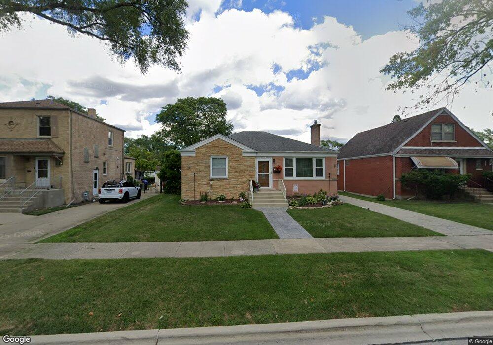
1937 Hull Ave Westchester, IL 60154
Estimated Value: $317,505 - $340,000
2
Beds
1
Bath
1,015
Sq Ft
$321/Sq Ft
Est. Value
About This Home
This home is located at 1937 Hull Ave, Westchester, IL 60154 and is currently estimated at $325,376, approximately $320 per square foot. 1937 Hull Ave is a home located in Cook County with nearby schools including Westchester Primary School, Westchester Intermediate School, and Westchester Middle School.
Ownership History
Date
Name
Owned For
Owner Type
Purchase Details
Closed on
Oct 28, 2004
Sold by
Mccarthy John J and Mccarthy Rhonda A
Bought by
Munoz Joseph C and Munoz Astrid G
Current Estimated Value
Home Financials for this Owner
Home Financials are based on the most recent Mortgage that was taken out on this home.
Original Mortgage
$223,250
Outstanding Balance
$112,373
Interest Rate
5.91%
Mortgage Type
Unknown
Estimated Equity
$213,003
Create a Home Valuation Report for This Property
The Home Valuation Report is an in-depth analysis detailing your home's value as well as a comparison with similar homes in the area
Home Values in the Area
Average Home Value in this Area
Purchase History
| Date | Buyer | Sale Price | Title Company |
|---|---|---|---|
| Munoz Joseph C | $235,000 | Chicago Title Insurance Comp |
Source: Public Records
Mortgage History
| Date | Status | Borrower | Loan Amount |
|---|---|---|---|
| Open | Munoz Joseph C | $223,250 |
Source: Public Records
Tax History Compared to Growth
Tax History
| Year | Tax Paid | Tax Assessment Tax Assessment Total Assessment is a certain percentage of the fair market value that is determined by local assessors to be the total taxable value of land and additions on the property. | Land | Improvement |
|---|---|---|---|---|
| 2024 | $4,806 | $21,626 | $4,655 | $16,971 |
| 2023 | $4,980 | $21,626 | $4,655 | $16,971 |
| 2022 | $4,980 | $19,744 | $3,990 | $15,754 |
| 2021 | $4,847 | $19,744 | $3,990 | $15,754 |
| 2020 | $4,802 | $19,744 | $3,990 | $15,754 |
| 2019 | $4,615 | $19,766 | $3,657 | $16,109 |
| 2018 | $4,553 | $19,766 | $3,657 | $16,109 |
| 2017 | $4,482 | $19,766 | $3,657 | $16,109 |
| 2016 | $4,048 | $16,377 | $3,325 | $13,052 |
| 2015 | $3,960 | $16,377 | $3,325 | $13,052 |
| 2014 | $3,884 | $16,377 | $3,325 | $13,052 |
| 2013 | $3,724 | $17,442 | $3,325 | $14,117 |
Source: Public Records
Map
Nearby Homes
- 1907 Suffolk Ave
- 1803 Balmoral Ave
- 1900 Manchester Ave
- 1816 Manchester Ave
- 1813 Manchester Ave
- 10324 Wight St
- 1908 Belleview Ave
- 1840 Gardner Rd
- 10461 Dorchester St
- 213 Pine Tree Ln
- 1500 Bristol Ave
- 1406 Portsmouth Ave
- 4 Garden Dr Unit 4
- 1921 Buckingham Ave
- 205 Huntington Ct
- 10567 Waterford Dr
- 1860 Buckingham Ave
- 10630 W Cermak Rd Unit 2E
- 1318 Balmoral Ave
- 1811 Downing Ave
- 1931 Hull Ave
- 1943 Hull Ave
- 1947 Hull Ave
- 1927 Hull Ave
- 1936 Newcastle Ave
- 1932 Newcastle Ave
- 1942 Newcastle Ave
- 1923 Hull Ave
- 1946 Newcastle Ave
- 1926 Newcastle Ave
- 1936 Hull Ave
- 1917 Hull Ave
- 1959 Hull Ave
- 1952 Newcastle Ave
- 1920 Newcastle Ave
- 1942 Hull Ave
- 1932 Hull Ave
- 1946 Hull Ave
- 1926 Hull Ave
- 1916 Newcastle Ave