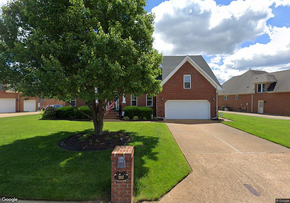
1937 Lancing Crest Ln Chesapeake, VA 23323
Deep Creek NeighborhoodEstimated Value: $840,977
5
Beds
4
Baths
3,645
Sq Ft
$231/Sq Ft
Est. Value
About This Home
This home is located at 1937 Lancing Crest Ln, Chesapeake, VA 23323 and is currently estimated at $840,977, approximately $230 per square foot. 1937 Lancing Crest Ln is a home located in Chesapeake City with nearby schools including Grassfield Elementary School, Hugo A. Owens Middle, and Grassfield High School.
Ownership History
Date
Name
Owned For
Owner Type
Purchase Details
Closed on
Mar 19, 2003
Sold by
Francisco Bldrs L L C
Bought by
Hart Gerald
Current Estimated Value
Home Financials for this Owner
Home Financials are based on the most recent Mortgage that was taken out on this home.
Original Mortgage
$259,200
Outstanding Balance
$111,592
Interest Rate
5.9%
Mortgage Type
FHA
Estimated Equity
$729,385
Purchase Details
Closed on
Apr 29, 2002
Sold by
New Mill Dev Assocs L L C
Bought by
Francisco Bldrs L L C
Create a Home Valuation Report for This Property
The Home Valuation Report is an in-depth analysis detailing your home's value as well as a comparison with similar homes in the area
Home Values in the Area
Average Home Value in this Area
Purchase History
We collect this data history from publicly available records. To have your information removed, we recommend requesting removal directly through your county’s website.
| Date | Buyer | Sale Price | Title Company |
|---|---|---|---|
| Hart Gerald | $324,000 | -- | |
| Francisco Bldrs L L C | $76,500 | -- |
Source: Public Records
Mortgage History
We collect this data history from publicly available records. To have your information removed, we recommend requesting removal directly through your county’s website.
| Date | Status | Borrower | Loan Amount |
|---|---|---|---|
| Open | Hart Gerald | $259,200 |
Source: Public Records
Tax History
| Year | Tax Paid | Tax Assessment Tax Assessment Total Assessment is a certain percentage of the fair market value that is determined by local assessors to be the total taxable value of land and additions on the property. | Land | Improvement |
|---|---|---|---|---|
| 2025 | -- | $707,500 | $200,000 | $507,500 |
| 2024 | -- | $675,500 | $185,000 | $490,500 |
| 2023 | -- | $617,600 | $165,000 | $452,600 |
| 2022 | -- | $579,100 | $145,000 | $434,100 |
| 2020 | $0 | $463,500 | $125,000 | $338,500 |
| 2019 | $0 | $499,900 | $125,000 | $374,900 |
| 2018 | $0 | $472,300 | $130,000 | $342,300 |
| 2017 | $4,359 | $472,300 | $130,000 | $342,300 |
| 2016 | $4,959 | $472,300 | $130,000 | $342,300 |
| 2015 | $4,907 | $467,300 | $125,000 | $342,300 |
| 2014 | $4,439 | $422,800 | $125,000 | $297,800 |
Source: Public Records
Map
Nearby Homes
- 1945 Lancing Crest Ln
- 1952 Lancing Crest Ln
- 1920 Lancing Crest Ln
- 1928 Moses Grandy Trail
- 1704 Lancing Crest Cir
- 2226 Harton Ln
- 1916 Mccoy Rd
- 1908 Mccoy Rd
- 1906 Mccoy Rd
- 1904 Mccoy Rd
- 1969 Beechwood Rd
- 1972 Beechwood Rd
- 1853 Rockwood Dr
- MM Carley (The Grassfield) Ct
- 1836 Rockwood Dr
- 450 Abelia Way
- 1844 Rockwood Dr
- 520 Abelia Way
- 2223 Summer Breeze Rd
- 1973 Burson Dr
- 1941 Lancing Crest Ln
- 1933 Lancing Crest Ln
- 1929 Lancing Crest Ln
- 1934 Lancing Crest Ln
- 1936 Lancing Crest Ln
- 1940 Lancing Crest Ln
- 1932 Lancing Crest Ln
- 1925 Lancing Crest Ln
- 1949 Lancing Crest Ln
- 1944 Lancing Crest Ln
- 1921 Lancing Crest Ln
- 401 Bracey Way
- 1930 Lancing Crest Ln
- 1928 Lancing Crest Ln
- 400 Bracey Way
- 1948 Lancing Crest Ln
- 1926 Lancing Crest Ln
- 1919 Lancing Crest Ln
- 1953 Lancing Crest Ln
- 403 Bracey Way
Your Personal Tour Guide
Ask me questions while you tour the home.