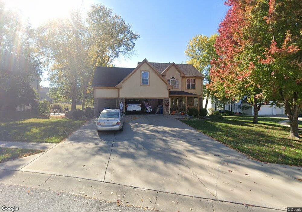
1937 Marvel Ln Liberty, MO 64068
Estimated Value: $379,523 - $440,000
3
Beds
3
Baths
2,014
Sq Ft
$201/Sq Ft
Est. Value
About This Home
This home is located at 1937 Marvel Ln, Liberty, MO 64068 and is currently estimated at $405,631, approximately $201 per square foot. 1937 Marvel Ln is a home located in Clay County with nearby schools including Alexander Doniphan Elementary School, Discovery Middle School, and Liberty High School.
Ownership History
Date
Name
Owned For
Owner Type
Purchase Details
Closed on
Jan 13, 2006
Sold by
J A Peterson Enterprises Inc
Bought by
Wohletz Steven M and Wohletz Cynthia Nichole
Current Estimated Value
Home Financials for this Owner
Home Financials are based on the most recent Mortgage that was taken out on this home.
Original Mortgage
$100,000
Outstanding Balance
$55,640
Interest Rate
6.1%
Mortgage Type
Fannie Mae Freddie Mac
Estimated Equity
$349,991
Create a Home Valuation Report for This Property
The Home Valuation Report is an in-depth analysis detailing your home's value as well as a comparison with similar homes in the area
Home Values in the Area
Average Home Value in this Area
Purchase History
| Date | Buyer | Sale Price | Title Company |
|---|---|---|---|
| Wohletz Steven M | -- | Mokan Title Services Llc |
Source: Public Records
Mortgage History
| Date | Status | Borrower | Loan Amount |
|---|---|---|---|
| Open | Wohletz Steven M | $100,000 |
Source: Public Records
Tax History Compared to Growth
Tax History
| Year | Tax Paid | Tax Assessment Tax Assessment Total Assessment is a certain percentage of the fair market value that is determined by local assessors to be the total taxable value of land and additions on the property. | Land | Improvement |
|---|---|---|---|---|
| 2025 | $4,283 | $61,790 | -- | -- |
| 2024 | $4,283 | $55,690 | -- | -- |
| 2023 | $4,356 | $55,690 | $0 | $0 |
| 2022 | $3,952 | $49,890 | $0 | $0 |
| 2021 | $3,921 | $49,894 | $7,600 | $42,294 |
| 2020 | $3,895 | $46,530 | $0 | $0 |
| 2019 | $3,894 | $46,530 | $0 | $0 |
| 2018 | $3,563 | $41,800 | $0 | $0 |
| 2017 | $3,442 | $41,800 | $5,700 | $36,100 |
| 2016 | $3,442 | $40,760 | $5,700 | $35,060 |
| 2015 | $3,442 | $40,760 | $5,700 | $35,060 |
| 2014 | $3,364 | $39,520 | $5,320 | $34,200 |
Source: Public Records
Map
Nearby Homes
- 509 Belmont St
- 415 Monterey Ave
- 1323 Amesbury Ave
- 420 Belmont St
- 1124 Amesbury Ave
- 1507 Amesbury Ave
- 1218 Canterbury Ln
- 918 Amesbury Ave
- 1733 Welleslay Ln
- 862 Amesbury Ave
- 1537 Canterbury Ln
- 716 Bristol Ct
- 1331 Park Ln
- 1304 Wellington Way
- 1327 Easton Ct
- 1317 Park Ln
- 1209 Liberty Drive Terrace
- 253 S Stewart Rd
- 2116 Winding Woods Dr
- Lot 2 Bent Oaks Dr
- 1933 Marvel Ln
- 1941 Marvel Ln
- 1934 Marvel Ln
- 1929 Marvel Ln
- 1945 Marvel Ln
- 1949 Marvel Ln
- 1314 Old Trail Rd
- 1311 Old Trail Rd
- 1925 Marvel Ln
- 1930 Marvel Ln
- 1310 Old Trail Rd
- 1924 Marvel Ln
- 1921 Marvel Ln
- 1306 Old Trail Rd
- 1920 Marvel Ln
- 1917 Marvel Ln
- 1302 Old Trail Rd
- 1921 High Dr
- 1800 Garden Dr
- 1916 Marvel Ln