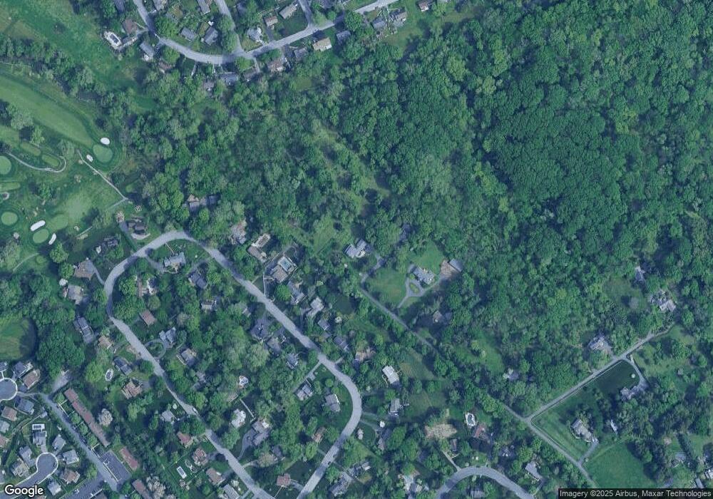
1937 Millersville Pike Lancaster, PA 17603
Bausman NeighborhoodEstimated Value: $563,000 - $771,974
4
Beds
3
Baths
3,148
Sq Ft
$204/Sq Ft
Est. Value
About This Home
This home is located at 1937 Millersville Pike, Lancaster, PA 17603 and is currently estimated at $642,744, approximately $204 per square foot. 1937 Millersville Pike is a home located in Lancaster County with nearby schools including Elizabeth R Martin Elementary School, Wheatland Middle School, and McCaskey High School.
Ownership History
Date
Name
Owned For
Owner Type
Purchase Details
Closed on
Jul 27, 2010
Sold by
Howell John S and Howell Julia A
Bought by
Mahosky Charity A
Current Estimated Value
Home Financials for this Owner
Home Financials are based on the most recent Mortgage that was taken out on this home.
Original Mortgage
$261,000
Outstanding Balance
$173,330
Interest Rate
4.63%
Mortgage Type
New Conventional
Estimated Equity
$469,414
Purchase Details
Closed on
Oct 3, 2008
Sold by
Howell John S and Howell Julia A
Bought by
Howell John S and Howell Julia A
Purchase Details
Closed on
Jun 1, 2007
Sold by
Howell John S and Howell Julia A
Bought by
Howell John S and Howell Julia A
Create a Home Valuation Report for This Property
The Home Valuation Report is an in-depth analysis detailing your home's value as well as a comparison with similar homes in the area
Home Values in the Area
Average Home Value in this Area
Purchase History
| Date | Buyer | Sale Price | Title Company |
|---|---|---|---|
| Mahosky Charity A | $290,000 | None Available | |
| Howell John S | -- | None Available | |
| Howell John S | -- | None Available |
Source: Public Records
Mortgage History
| Date | Status | Borrower | Loan Amount |
|---|---|---|---|
| Open | Mahosky Charity A | $261,000 |
Source: Public Records
Tax History Compared to Growth
Tax History
| Year | Tax Paid | Tax Assessment Tax Assessment Total Assessment is a certain percentage of the fair market value that is determined by local assessors to be the total taxable value of land and additions on the property. | Land | Improvement |
|---|---|---|---|---|
| 2025 | $11,328 | $392,800 | $149,700 | $243,100 |
| 2024 | $11,328 | $392,800 | $149,700 | $243,100 |
| 2023 | $11,067 | $392,800 | $149,700 | $243,100 |
| 2022 | $10,407 | $392,800 | $149,700 | $243,100 |
| 2021 | $10,093 | $392,800 | $149,700 | $243,100 |
| 2020 | $10,093 | $392,800 | $149,700 | $243,100 |
| 2019 | $9,878 | $392,800 | $149,700 | $243,100 |
| 2018 | $7,940 | $392,800 | $149,700 | $243,100 |
| 2017 | $7,774 | $237,800 | $101,500 | $136,300 |
| 2016 | $7,631 | $237,800 | $101,500 | $136,300 |
| 2015 | $1,031 | $237,800 | $101,500 | $136,300 |
| 2014 | $5,917 | $237,800 | $101,500 | $136,300 |
Source: Public Records
Map
Nearby Homes
- 118 Bentley Ln
- 1 & 2 Bentley Ln
- 2005 Millersville Pike
- 102 Arrowwood Ct
- 109 Falcon Ct
- 215 Fawn Meadow Crossing
- 21 Gable Park Rd
- 1124 Colonial Rd
- 204 Greenbriar Cir
- 115 Pheasant Ridge Cir
- 80 School House Rd
- 111 Pheasant Ridge Cir
- 108 Wildbriar Ct S
- 105 Silverwind Ct S
- 114 Pheasant Ridge Cir
- 107 Longwood Ct E
- 110 Clearfield Ct E
- 106 Longwood Ct E
- 102 Clearfield Ct E
- 506 Big Bend Rd
- 1939 Millersville Pike
- 142 Bentley Ln
- 140 Bentley Ln
- 144 Bentley Ln
- 1935 Millersville Pike
- 138 Bentley Ln
- 146 Bentley Ln
- 136 Bentley Ln
- 148 Bentley Ln
- 1933 Millersville Pike
- 134 Bentley Ln
- 150 Bentley Ln
- 137 Bentley Ln
- 139 Bentley Ln
- 135 Bentley Ln
- 143 Bentley Ln
- 133 Bentley Ln
- 145 Bentley Ln
- 149 Bentley Ln
- 131 Bentley Ln
