1937 Saint Andrews Cir Unit CL Gilroy, CA 95020
Eagle Ridge NeighborhoodEstimated Value: $1,850,146 - $1,934,000
5
Beds
5
Baths
4,134
Sq Ft
$461/Sq Ft
Est. Value
About This Home
This home is located at 1937 Saint Andrews Cir Unit CL, Gilroy, CA 95020 and is currently estimated at $1,906,537, approximately $461 per square foot. 1937 Saint Andrews Cir Unit CL is a home located in Santa Clara County with nearby schools including Las Animas Elementary School, Solorsano Middle School, and Gilroy High School.
Ownership History
Date
Name
Owned For
Owner Type
Purchase Details
Closed on
Jul 16, 2024
Sold by
Ferguson Trust and Ferguson Mark S
Bought by
Suri Sagar and Goswami Sayantani
Current Estimated Value
Home Financials for this Owner
Home Financials are based on the most recent Mortgage that was taken out on this home.
Original Mortgage
$1,347,500
Outstanding Balance
$1,329,832
Interest Rate
6.5%
Mortgage Type
New Conventional
Estimated Equity
$576,705
Purchase Details
Closed on
Apr 14, 2020
Sold by
Rokovich Joelle M and The 2000 Joelle M Rokovich Tru
Bought by
Ferguson Mark S and Ferguson Jayne P
Purchase Details
Closed on
May 25, 2006
Sold by
Cornelius Ronnie Wade and Cornelius Anna B
Bought by
Rokovich Joelle M
Home Financials for this Owner
Home Financials are based on the most recent Mortgage that was taken out on this home.
Original Mortgage
$800,000
Interest Rate
6.25%
Mortgage Type
Purchase Money Mortgage
Purchase Details
Closed on
Aug 27, 2004
Sold by
Cornelius Ronnie Wade and Cornelius Anna B
Bought by
Cornelius Ronnie Wade and Cornelius Anna B
Purchase Details
Closed on
Sep 15, 2003
Sold by
Gmac Global Relocation Services Inc
Bought by
Cornelius Ronnie Wade and Cornelius Anna B
Home Financials for this Owner
Home Financials are based on the most recent Mortgage that was taken out on this home.
Original Mortgage
$500,000
Interest Rate
5.99%
Mortgage Type
Purchase Money Mortgage
Purchase Details
Closed on
Nov 10, 1999
Sold by
Standard Pacific Corp
Bought by
Peddie Peter Craig and Peddie Mary Elizabeth
Home Financials for this Owner
Home Financials are based on the most recent Mortgage that was taken out on this home.
Original Mortgage
$594,099
Interest Rate
7.25%
Create a Home Valuation Report for This Property
The Home Valuation Report is an in-depth analysis detailing your home's value as well as a comparison with similar homes in the area
Home Values in the Area
Average Home Value in this Area
Purchase History
| Date | Buyer | Sale Price | Title Company |
|---|---|---|---|
| Suri Sagar | $1,925,000 | Chicago Title Company | |
| Ferguson Mark S | $1,325,000 | Old Republic Title Company | |
| Rokovich Joelle M | $1,349,000 | Alliance Title Company | |
| Cornelius Ronnie Wade | -- | -- | |
| Cornelius Ronnie Wade | $890,000 | First American Title Company | |
| Gmac Global Relocation Services Inc | $890,000 | First American Title Company | |
| Peddie Peter Craig | $704,000 | First American Title |
Source: Public Records
Mortgage History
| Date | Status | Borrower | Loan Amount |
|---|---|---|---|
| Open | Suri Sagar | $1,347,500 | |
| Previous Owner | Rokovich Joelle M | $800,000 | |
| Previous Owner | Cornelius Ronnie Wade | $500,000 | |
| Previous Owner | Peddie Peter Craig | $594,099 |
Source: Public Records
Tax History Compared to Growth
Tax History
| Year | Tax Paid | Tax Assessment Tax Assessment Total Assessment is a certain percentage of the fair market value that is determined by local assessors to be the total taxable value of land and additions on the property. | Land | Improvement |
|---|---|---|---|---|
| 2025 | $5,791 | $1,924,750 | $962,300 | $962,450 |
| 2024 | $5,791 | $468,935 | $270,542 | $198,393 |
| 2023 | $5,755 | $459,741 | $265,238 | $194,503 |
| 2022 | $5,658 | $450,728 | $260,038 | $190,690 |
| 2021 | $5,631 | $441,891 | $254,940 | $186,951 |
| 2020 | $15,210 | $1,200,000 | $500,000 | $700,000 |
| 2019 | $17,067 | $1,333,000 | $543,000 | $790,000 |
| 2018 | $13,996 | $1,148,000 | $467,700 | $680,300 |
| 2017 | $13,972 | $1,100,000 | $460,000 | $640,000 |
| 2016 | $15,541 | $1,223,500 | $498,000 | $725,500 |
| 2015 | $13,056 | $1,073,300 | $437,300 | $636,000 |
| 2014 | $12,848 | $1,042,000 | $424,500 | $617,500 |
Source: Public Records
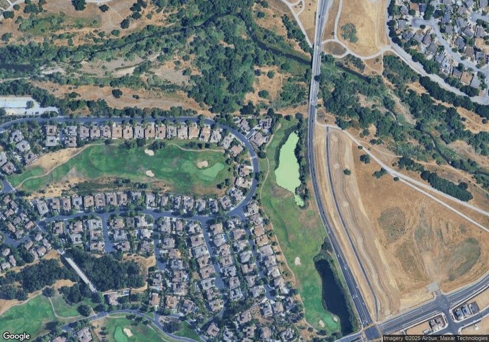
Map
Nearby Homes
- 1959 Saint Andrews Cir
- 2107 Gullane Way
- 7722 Curry Dr
- 7832 Cobblestone Ct
- 7611 Westwood Dr
- 1544 Rosette Way Unit 27
- 0 California 152
- 7171 Spumante Ct
- 7950 English Oak Cir
- 1231 Juniper Dr Unit H
- 1555 Hecker Pass Rd Unit D201
- 7609 Santa Paula Dr
- 7531 Edinburgh Way
- 2645 Muirfield Way
- 7620 Santa Paula Dr
- 7101 Hakkan Dr
- 1555 Sawana Way
- 8255 Rancho Real
- 8266 Gaunt Ave Unit F1
- Plan 3 at Brix at Glen Loma Ranch
- 1937 Saint Andrews Cir
- 1935 Saint Andrews Cir Unit CL
- 1935 Saint Andrews Cir
- 1939 Saint Andrews Cir
- 1933 Saint Andrews Cir Unit CL
- 1933 Saint Andrews Cir
- 1940 Saint Andrews Cir Unit CL
- 1940 Saint Andrews Cir
- 1941 Saint Andrews Cir
- 1931 Saint Andrews Cir Unit CL
- 1931 Saint Andrews Cir
- 7490 Carnoustie Ct
- 1943 Saint Andrews Cir
- 1944 Saint Andrews Cir Unit CL
- 1944 Saint Andrews Cir
- 1929 Saint Andrews Cir Unit CL
- 1929 Saint Andrews Cir
- 1942 Saint Andrews Cir
- 7480 Carnoustie Ct
- 1945 Saint Andrews Cir