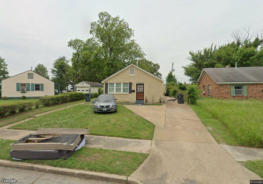
1937 State St Memphis, TN 38114
Southeast Memphis NeighborhoodEstimated Value: $74,000 - $171,000
2
Beds
1
Bath
1,999
Sq Ft
$66/Sq Ft
Est. Value
About This Home
This home is located at 1937 State St, Memphis, TN 38114 and is currently estimated at $131,115, approximately $65 per square foot. 1937 State St is a home located in Shelby County with nearby schools including Hamilton High School, Memphis College Preparatory, and Veritas College Preparatory.
Ownership History
Date
Name
Owned For
Owner Type
Purchase Details
Closed on
Sep 8, 2023
Sold by
Mid South Homebuyers Gp
Bought by
Shaffer Tera and Shaffer Andrew
Current Estimated Value
Purchase Details
Closed on
Feb 2, 2023
Sold by
Booker-Walker Jacqueline and Booker-Walker Charles N
Bought by
Mid South Home Buyers Gp
Purchase Details
Closed on
Sep 28, 2004
Sold by
Johnson Earlean S
Bought by
Johnson Earlean S and Walker Jacqueline
Home Financials for this Owner
Home Financials are based on the most recent Mortgage that was taken out on this home.
Original Mortgage
$19,100
Interest Rate
5.6%
Mortgage Type
Unknown
Create a Home Valuation Report for This Property
The Home Valuation Report is an in-depth analysis detailing your home's value as well as a comparison with similar homes in the area
Home Values in the Area
Average Home Value in this Area
Purchase History
| Date | Buyer | Sale Price | Title Company |
|---|---|---|---|
| Shaffer Tera | $159,000 | None Listed On Document | |
| Mid South Home Buyers Gp | $54,000 | -- | |
| Johnson Earlean S | $31,500 | -- |
Source: Public Records
Mortgage History
| Date | Status | Borrower | Loan Amount |
|---|---|---|---|
| Previous Owner | Johnson Earlean S | $19,100 |
Source: Public Records
Tax History
| Year | Tax Paid | Tax Assessment Tax Assessment Total Assessment is a certain percentage of the fair market value that is determined by local assessors to be the total taxable value of land and additions on the property. | Land | Improvement |
|---|---|---|---|---|
| 2025 | $753 | $40,600 | $1,500 | $39,100 |
| 2024 | -- | $22,200 | $1,000 | $21,200 |
| 2023 | $455 | $7,475 | $1,000 | $6,475 |
| 2022 | $455 | $7,475 | $1,000 | $6,475 |
| 2021 | $203 | $7,475 | $1,000 | $6,475 |
| 2019 | $217 | $6,800 | $1,000 | $5,800 |
| 2018 | $217 | $6,800 | $1,000 | $5,800 |
| 2017 | $222 | $6,800 | $1,000 | $5,800 |
| 2016 | $357 | $8,175 | $0 | $0 |
Source: Public Records
Map
Nearby Homes
- 1817 S Barksdale St
- 1825 Castalia St
- 1832 Rozelle St
- 1824 Rozelle St
- 1936 Frisco Ave
- 1971 Boyle Ave
- 1954 Boyle Ave
- 1560 Cane Rd
- 1551 Cane Rd
- 1896 Glory Cir
- 1516 Raven Ave
- 2136 Sparks St
- 1698 Rayner St
- 0 Airways Blvd Unit 10199303
- 2352 Verdun Cove
- 2151 Goff Ave
- 1448 Valse Rd
- 1478 Effie Rd
- 2014 N Dianne Cir
- 2149 Wabash Ave
Your Personal Tour Guide
Ask me questions while you tour the home.