1937 Swallow Ln Carlsbad, CA 92009
La Costa NeighborhoodEstimated Value: $708,328 - $911,000
2
Beds
2
Baths
1,226
Sq Ft
$625/Sq Ft
Est. Value
About This Home
This home is located at 1937 Swallow Ln, Carlsbad, CA 92009 and is currently estimated at $766,082, approximately $624 per square foot. 1937 Swallow Ln is a home located in San Diego County with nearby schools including Poinsettia Elementary School, Aviara Oaks Middle, and Sage Creek High.
Ownership History
Date
Name
Owned For
Owner Type
Purchase Details
Closed on
Nov 18, 2010
Sold by
Wright Rizzo Tracy J and Rizzo Thomas J
Bought by
Wright Tracy J and Rizzo Thomas J
Current Estimated Value
Home Financials for this Owner
Home Financials are based on the most recent Mortgage that was taken out on this home.
Original Mortgage
$100,000
Outstanding Balance
$65,608
Interest Rate
4.16%
Mortgage Type
New Conventional
Estimated Equity
$700,474
Purchase Details
Closed on
Jul 30, 2010
Sold by
Wright Rizzo Tracy J
Bought by
Wright Rizzo Tracy J and Rizzo Thomas J
Purchase Details
Closed on
Mar 24, 2006
Sold by
Foreman Robert J and Foreman Jeanne M
Bought by
Foreman Robert J and Foreman Jeanne M
Home Financials for this Owner
Home Financials are based on the most recent Mortgage that was taken out on this home.
Original Mortgage
$544,185
Outstanding Balance
$311,714
Interest Rate
6.4%
Mortgage Type
Reverse Mortgage Home Equity Conversion Mortgage
Estimated Equity
$454,368
Purchase Details
Closed on
Aug 20, 2004
Sold by
Foreman Jeanne M
Bought by
Foreman Robert J
Home Financials for this Owner
Home Financials are based on the most recent Mortgage that was taken out on this home.
Original Mortgage
$435,478
Interest Rate
3.53%
Mortgage Type
FHA
Purchase Details
Closed on
Aug 5, 2004
Sold by
Foreman Robert J and Foreman Jeanne M
Bought by
Foreman Robert J and Foreman Jeanne M
Home Financials for this Owner
Home Financials are based on the most recent Mortgage that was taken out on this home.
Original Mortgage
$435,478
Interest Rate
3.53%
Mortgage Type
FHA
Purchase Details
Closed on
Jul 11, 2002
Sold by
Foreman Robert J and Foreman Jeanne M
Bought by
Foreman Robert J and Foreman Jeanne M
Home Financials for this Owner
Home Financials are based on the most recent Mortgage that was taken out on this home.
Original Mortgage
$115,000
Interest Rate
6.69%
Mortgage Type
Purchase Money Mortgage
Purchase Details
Closed on
May 16, 1991
Create a Home Valuation Report for This Property
The Home Valuation Report is an in-depth analysis detailing your home's value as well as a comparison with similar homes in the area
Home Values in the Area
Average Home Value in this Area
Purchase History
| Date | Buyer | Sale Price | Title Company |
|---|---|---|---|
| Wright Tracy J | -- | California Title Company | |
| Wright Rizzo Tracy J | -- | None Available | |
| Wright Rizzo Tracy J | -- | None Available | |
| Foreman Robert J | -- | Fidelity Natl Title Mclpc | |
| Foreman Robert J | -- | Financial Title | |
| Foreman Robert J | -- | -- | |
| Foreman Robert J | -- | Fidelity National Title Co | |
| -- | $149,500 | -- |
Source: Public Records
Mortgage History
| Date | Status | Borrower | Loan Amount |
|---|---|---|---|
| Open | Wright Tracy J | $100,000 | |
| Open | Foreman Robert J | $544,185 | |
| Closed | Foreman Robert J | $435,478 | |
| Closed | Foreman Robert J | $115,000 | |
| Closed | Foreman Robert J | $435,478 |
Source: Public Records
Tax History Compared to Growth
Tax History
| Year | Tax Paid | Tax Assessment Tax Assessment Total Assessment is a certain percentage of the fair market value that is determined by local assessors to be the total taxable value of land and additions on the property. | Land | Improvement |
|---|---|---|---|---|
| 2025 | $3,363 | $269,619 | $101,433 | $168,186 |
| 2024 | $3,363 | $264,334 | $99,445 | $164,889 |
| 2023 | $3,288 | $259,152 | $97,496 | $161,656 |
| 2022 | $3,203 | $254,072 | $95,585 | $158,487 |
| 2021 | $3,145 | $249,091 | $93,711 | $155,380 |
| 2020 | $3,092 | $246,538 | $92,751 | $153,787 |
| 2019 | $3,043 | $241,705 | $90,933 | $150,772 |
| 2018 | $2,929 | $236,966 | $89,150 | $147,816 |
| 2017 | $2,886 | $232,320 | $87,402 | $144,918 |
| 2016 | $2,784 | $227,766 | $85,689 | $142,077 |
| 2015 | $2,743 | $224,345 | $84,402 | $139,943 |
| 2014 | $2,674 | $219,951 | $82,749 | $137,202 |
Source: Public Records
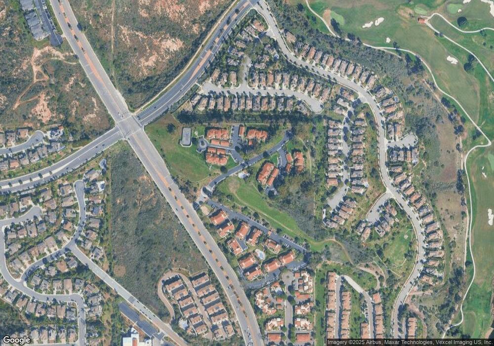
Map
Nearby Homes
- 6903 Quail Place
- 6911 Quail Place Unit C
- 6901 Tourmaline Place
- 1845 Cliff Swallow Ln
- 1738 Oriole Ct
- 7012 Goldenrod Way
- 1933 Alga Rd Unit C
- 7021 Estrella de Mar Rd
- 7019 Estrella de Mar Rd
- 6438 Lilium Ln
- 7026 Estrella de Mar Rd
- 6911 Goldstone Rd
- 6647 Encelia Place
- 6377 Alexandri Cir
- 6419 Alexandri Cir
- 6325 Alexandri Cir
- 6467 Alexandri Cir Unit 75
- 7212 Columbine Dr
- 6485 Alexandri Cir
- 1736 Blackbird Cir
- 1939 Swallow Ln
- 1943 Swallow Ln
- 1941 Swallow Ln
- 1947 Swallow Ln
- 1945 Swallow Ln
- 1951 Swallow Ln
- 1949 Swallow Ln
- 1953 Swallow Ln
- 1955 Swallow Ln
- 1967 Swallow Ln
- 1961 Swallow Ln
- 1965 Swallow Ln
- 1969 Swallow Ln
- 1973 Swallow Ln Unit 32
- 1973 Swallow Ln
- 1977 Swallow Ln
- 1978 Swallow Ln
- 1971 Swallow Ln
- 1975 Swallow Ln
- 1979 Swallow Ln