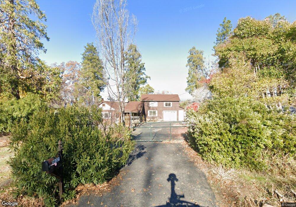
1937 Union Ridge Rd Placerville, CA 95667
Estimated Value: $303,986 - $450,000
3
Beds
1
Bath
1,078
Sq Ft
$375/Sq Ft
Est. Value
About This Home
This home is located at 1937 Union Ridge Rd, Placerville, CA 95667 and is currently estimated at $403,997, approximately $374 per square foot. 1937 Union Ridge Rd is a home located in El Dorado County with nearby schools including Camino Elementary School, El Dorado High School, and El Dorado Adventist School.
Ownership History
Date
Name
Owned For
Owner Type
Purchase Details
Closed on
Jan 23, 2002
Sold by
Moulton Rockwood L and Moulton Nancy Joan
Bought by
Moulton Rockwood L and Moulton Nancy Joan
Current Estimated Value
Home Financials for this Owner
Home Financials are based on the most recent Mortgage that was taken out on this home.
Original Mortgage
$56,000
Outstanding Balance
$22,998
Interest Rate
7.11%
Estimated Equity
$380,999
Purchase Details
Closed on
Aug 4, 2001
Sold by
Moulton Rockwood L and Moulton Joan
Bought by
Moulton Rockwood L and Moulton Nancy Joan
Create a Home Valuation Report for This Property
The Home Valuation Report is an in-depth analysis detailing your home's value as well as a comparison with similar homes in the area
Home Values in the Area
Average Home Value in this Area
Purchase History
| Date | Buyer | Sale Price | Title Company |
|---|---|---|---|
| Moulton Rockwood L | -- | Placer Title Company | |
| Moulton Rockwood L | -- | -- |
Source: Public Records
Mortgage History
| Date | Status | Borrower | Loan Amount |
|---|---|---|---|
| Open | Moulton Rockwood L | $56,000 |
Source: Public Records
Tax History
| Year | Tax Paid | Tax Assessment Tax Assessment Total Assessment is a certain percentage of the fair market value that is determined by local assessors to be the total taxable value of land and additions on the property. | Land | Improvement |
|---|---|---|---|---|
| 2025 | $452 | $45,128 | $7,712 | $37,416 |
| 2024 | $452 | $44,244 | $7,561 | $36,683 |
| 2023 | $442 | $43,377 | $7,413 | $35,964 |
| 2022 | $436 | $42,527 | $7,268 | $35,259 |
| 2021 | $429 | $41,694 | $7,126 | $34,568 |
| 2020 | $423 | $41,267 | $7,053 | $34,214 |
| 2019 | $416 | $40,459 | $6,915 | $33,544 |
| 2018 | $404 | $39,667 | $6,780 | $32,887 |
| 2017 | $396 | $38,891 | $6,648 | $32,243 |
| 2016 | $390 | $38,129 | $6,518 | $31,611 |
| 2015 | $368 | $37,558 | $6,421 | $31,137 |
| 2014 | $368 | $36,825 | $6,297 | $30,528 |
Source: Public Records
Map
Nearby Homes
- 1813 Union Ridge Rd
- 1717 Union Ridge Rd
- 2399 Kingsgate Rd
- 2360 Union Ridge Rd
- 9425 Mosquito Rd
- 1072 Champagne Ln
- 3300 Hassler Rd
- 0 Carson Rd
- 1818 Smith Flat Rd
- 2655 Mona Dr
- 2990 Sippy Ln
- 2984 Sippy Ln Unit A
- 2500 Highway 50
- 2700 Dancing Oaks Rd
- 2900 Parkway Dr Unit 12
- 2900 Parkway Dr Unit 2
- 1344 Village Ln
- 1371 Martin Ln
- 1810 Country Club Dr
- 2095 Wild Goose Canyon Rd
- 1929 Union Ridge Rd
- 1938 Union Ridge Rd
- 1950 Union Ridge Rd
- 1949 Union Ridge Rd
- 1954 Union Ridge Rd
- 1965 Union Ridge Rd
- 1960 Union Ridge Rd
- 1970 Union Ridge Rd
- 1975 Union Ridge Rd
- 1924 Union Ridge Rd
- 1944 Union Ridge Rd
- 1901 Union Ridge Rd
- 1991 Union Ridge Rd
- 1985 Union Ridge Rd
- 1980 Union Ridge Rd
- 1893 Union Ridge Rd
- 1999 Union Ridge Rd
- 1889 Union Ridge Rd
- 2000 Union Ridge Rd
- 2005 Union Ridge Rd
Your Personal Tour Guide
Ask me questions while you tour the home.